Pilchuck Creek
1 - Lake Cavanaugh Road to Pilchuck Creek Campsite(Upper Pilchuck)
| Difficulty | IV |
| Length | 5.5 mi |
| Avg Gradient | 60 fpm |
| Gauge | Pilchuck Cr. @ Bridge 626 |
| Flow Rate as of 1 hour | 9 cfsbelow recommended |
| Reach Info Last Updated | December 9, 2024 |
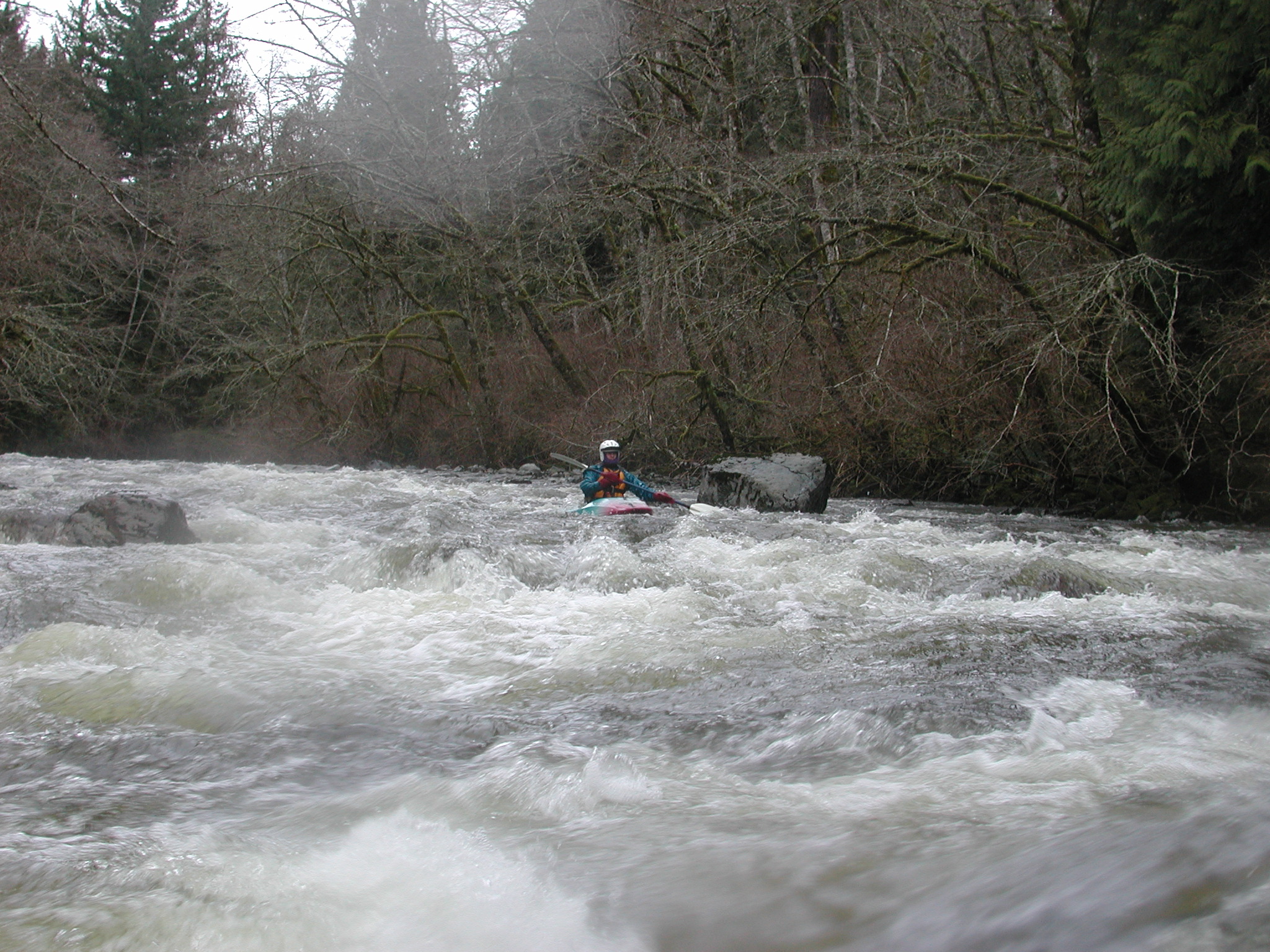
The upper section of Pilchuck Creek adds some fun class III/IV rapids that can become very pushy and continuous at high flows with the action building up to the most challenging drops which are 1.5 to 2.0 miles into the run. At high water this section can push class V as holes start to appear and quick moves around wood hazards are required. The upper section is a bit more continuous than the middle section, but the character is mostly boulder gardens through a second-growth forest. There is an old logging road that runs along much of the run so although you can boat scout the run, getting out on shore is not as difficult as in the bedrock canyon downstream. Drops on this upper section are a bit bony with medium flows. Higher flows are generally best for this run which is fed by winter rains.
The most challenging drop occurs near over halfway into the run where a large boulder sticks out from river right and the river plunges over a 5' ledge drop. It's run river right near the boulder. Another good drop follows a short distance downstream before the action begins to taper off a bit. It's a short distance to the take-out bridge (pull out upstream river right).
Those looking for more action continue downstream and paddle the middle section which is best-known for Pilchuck Falls. Paddling the upper and middle sections together can make for a great day with 10 miles of paddling.
See description for Pilchuck Creek, Middle Section.
Access Logistics: Paddlers meet at the Highway 9 Bridge just north of Arlington at Highway 9 mile 34.9 to check the gauge and coordinate shuttle. If you're going to tack on the middle run too then this is the take-out, but if you're just doing the upper start heading up river. From the Highway 9 Bridge, drive 0.3 miles north on Highway 9 and turn right onto Finn Settlement Rd. (labeled as 44th Ave NE in the Gazetteer). Drive 4.5 mile
...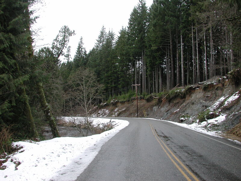
A small pull out along Lake Cavanaugh Road where the road comes up against the river has space for a couple cars.
The take-out is on river right at an informal campsite with low bank access just upstream of the bridge across Pilchuck Creek. This access is located on land administerd by Washington Department of Natural Resources. As an alterantive for a longer run, you can continue on the next run downstream and run the Middle Pilchuck as a continuation of the Upper Pilchuck.
Dec 28, 2006
12/28/06 Well, it was certainly interesting! We had all said previously that we'd never do the whole run (upper/middle) on a freezing winter (short) day...so, we dropped a car at the Hwy 9 take-out at around 10AM and drove to the put-in access on Lake Cavanaugh Road...it was snowing and 36 degrees. :) Flow was low...just over 700 cfs on the DOE gauge. The upper run could not be run any lower, and in fact the lowness made it increasingly more difficult in places. It was a tense float around a lot of wood in places but only one real portage as going under and over some of the logs were Plan A. The 140 fpm Class IV section was the most difficult as the boulders made route picking very difficult, the snow was pounding down and there were so many steathly colored rocks boats took a beating (mine especially - 2 huge gashes in the floor). The bigger ledges are obvious when you approach them and are both run next to large rocks on river right. I had one swim right above one of the bigger ones and tested my helmets integrity in 6' of fast moving water before self-rescuing, checking if all my marbles were still in order than proceeding down through the rapid. Then I blew a line wound up getting side-surfed in a hole WHILE attaching myself to a sweeper. That was a first. Took me over 2 minutes to find a combination of moves that got my out of the hole and the sticks w/o flipping. The 2nd big ledge had Brian for lunch and Shaun and I took chase and recovered his boat. One more fun, big river-wide ledge remained and soon we were at the put-in bridge for the Middle run and we basically bombed down that as fast as we could in search of warm shoes. The Middle still had the same logs it did a few weeks back and should be approached carefully as another big water event might clean some up but also could push many of the sideline trees into the drink as well. Overall: Running both runs together is great. No gate/hike-in issues like on the middle and the PI and TO are cake. I'd like to see about 900 or so next time to clean up the upper run. It is however easy to see how hazardous this run could become at higher flows. That 140 fpm section can become Class V and with the wood in there and less eddies could make it even harder. If you can't see the bottom of a drop, scout!
Jan 26, 2002
Trip participants included David Wilson, Mike Rausch, and Thomas O'Keefe. We didn’t take a close look at the gauge but it was probably around 4’ or so. This level is a little low for the upper section. It was possible to get down and there were a couple fun drops, but there was a lot of shallow boulder dodging.