Skagit
3. Copper Creek to Rockport
| Difficulty | I-II |
| Length | 16 mi |
| Avg Gradient | n/a |
| Gauge | Skagit River at Marblemount, Wa |
| Flow Rate as of 16 minutes | 3330 cfsrunnable |
| Reach Info Last Updated | July 28, 2021 |
Beginning high in the North Cascades, the Skagit Wild and Scenic River winds down steep slopes, through forested hillsides and wide open valleys, eventually reaching Puget Sound. The rivers of this system – the Skagit, Sauk, Suiattle, and Cascade – flow through rugged wilderness, forestlands, rural communities, farmlands, and [...]Read More
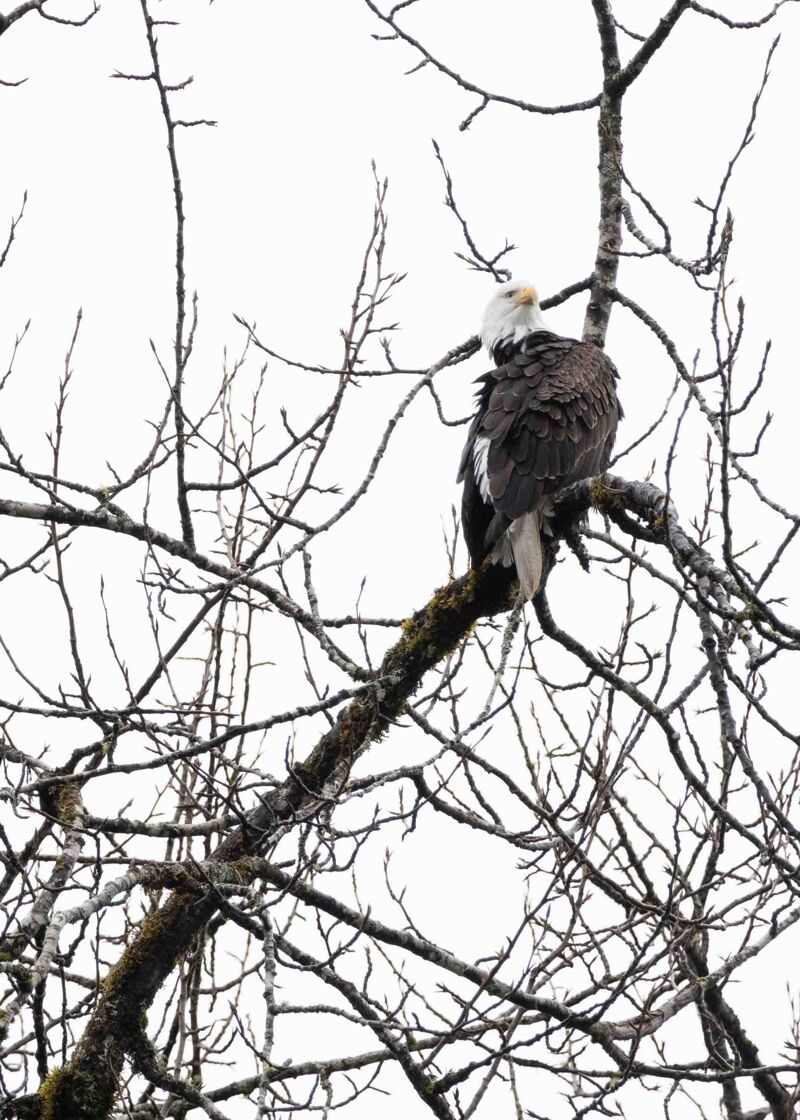
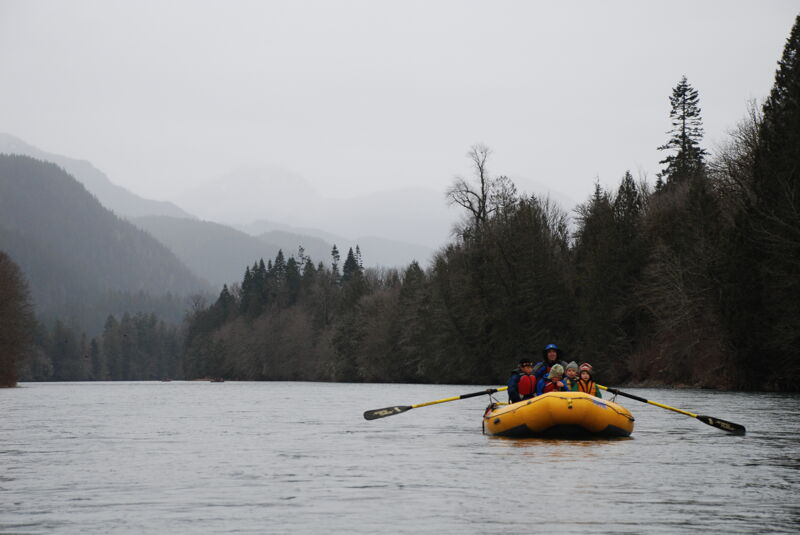
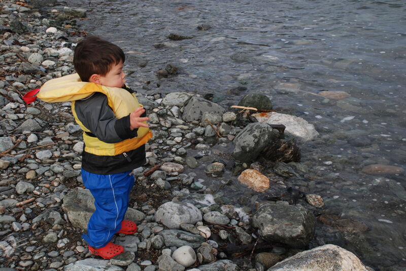
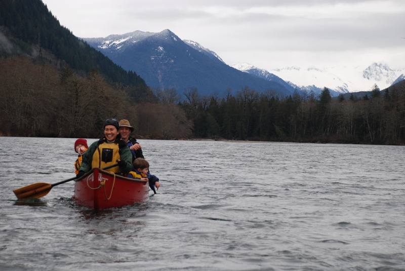
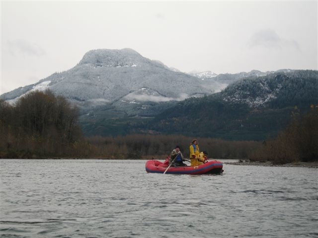
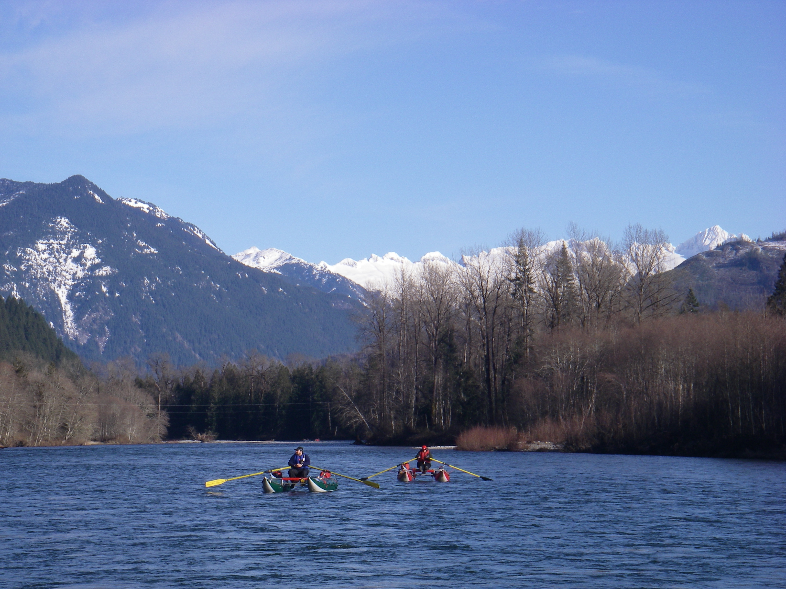
Downstream of Copper Creek the Skagit is a float trip more popular with steelhead fishermen than whitewater paddlers, but recreational boaters are drawn to this section each year between December and February for eagle watching. With one of the highest concentrations of overwintering eagles in the US, the short section of river between Marblemount and Rockport can be home to over 500 eagles during the peak of the season in mid January. The best days to see the eagles up close are when it's overcast and the birds can be found perched on riverside trees. On sunny days eagles can be seen soaring high overhead.
Although one can use the access at Copper Creek for a longer trip, the most popular section is between Marblemount and Rockport which runs through the Skagit River Bald Eagle Natural Area, a preserve of approximately 10,000 acres made possible through the efforts of the Nature Conservancy who made the original acquisitions in 1976. This section between Marblemount and Rockport is also the most interesting with a complex channel that weaves around a couple of islands and past some gravel bars that become eagle feeding stations in the early morning hours. During the eagle season paddlers are asked to launch between 11 am and noon so as not to disturb the eagles during their morning feeding time, and landing on shore or gravel bars is also discouraged.
There are only a couple rapids and short wave trains that may reach the lower end of class II, but you still need solid skills to avoid the log jams that line the banks in a couple places.
Logistics
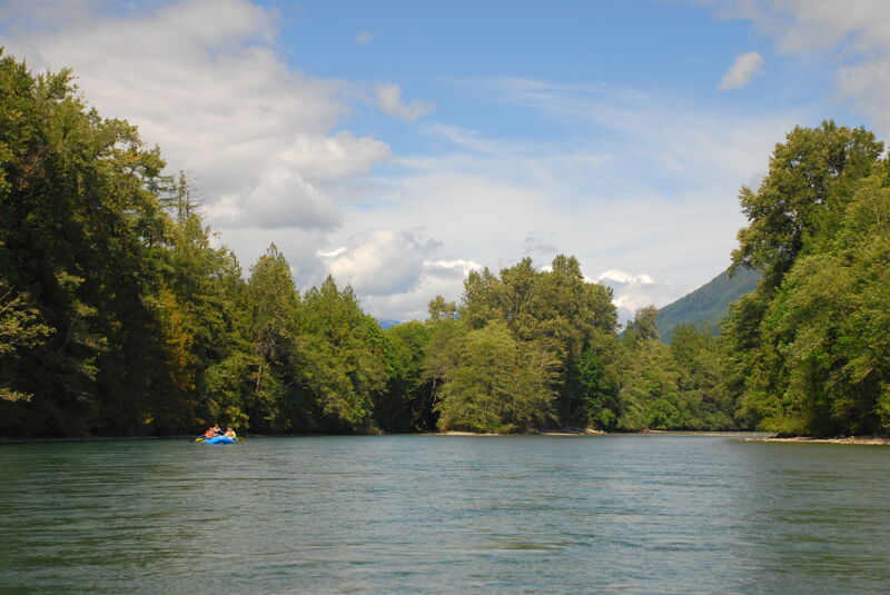
There are a couple different access points for the lower Skagit depending on what you're looking for. Options are listed in order heading upstream from the Rockport take-out.
River Mile 67.7 (Rockport, Howard Miller Steelhead Park) The most popular take-out for the Skagit Eagle float is at Howard Miller Steelhead Park in Rockport downstream river right of the Highw
...River right access managed by the National Park Service with investment in site development from Seattle City Light.
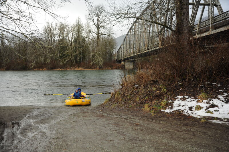
This river access just upstream of the confluence with the Cascade River has ample parking and a good launch area on the downstream river left side of the bridge. It is the standard starting point for eagle floats on the Skagit River. The site is managed by the Forest Service on land within the project boundary for Seattle City Light's Skagit Hydroelectric Project.

This river right access point at the Milepost 100 Rest Area is just downstream of Cascadia Farm and the Illabot Creek confluence. It provides an alternate access point at the confluence of Sutter Creek. The pull out is a popular site for eagle viewing in the winter months. The river access is at the downstream end of the rest area.
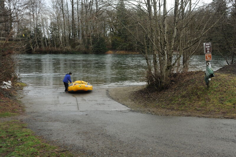
This river right access is at Howard Miller Steelhead Park just upstream of the Sauk River confluence. There is a small fee for use of the ramp. The park has camping facilities and parking. During the winter season when the eagles are at their highest density, interpretive programs are provided in the park.
Jan 24, 2026
Beautiful float with two 14' rafts, sunny day, saw ~6 eagles. Plenty of small logjams in the river from the high flows, but all easily avoidable as long as you stay vigilant.
Jan 11, 2026
11 paddlers in 9 boats from Paddle Trails Canoe Club made our annual Eagle Float today. The river was fast and high, at 7700 cfs, with the biggest hazard for most of the trip being big whirlpools and mid-river eddies after the mild (but speedy) rapids. Boats were occasionally spun around, but everyone did great. Rain had been forecast for the whole day, but we didn't get any until the last 5 minutes on the river.
We counted 56 eagles, mostly before our lunch break, and then a big cluster of them just around the bend from the takeout.
There were trees down, but all easily avoidable until about a mile from Rockport, where suddenly there were trees everywhere. Plenty of room to go around them, but the current was pushing pretty hard toward the wood. The worst was at the sharp left bend here: 48.487392, -121.572854
One canoe was pushed into a log sideways and capsized. Boat and swimmer were recovered without incident- hooray!