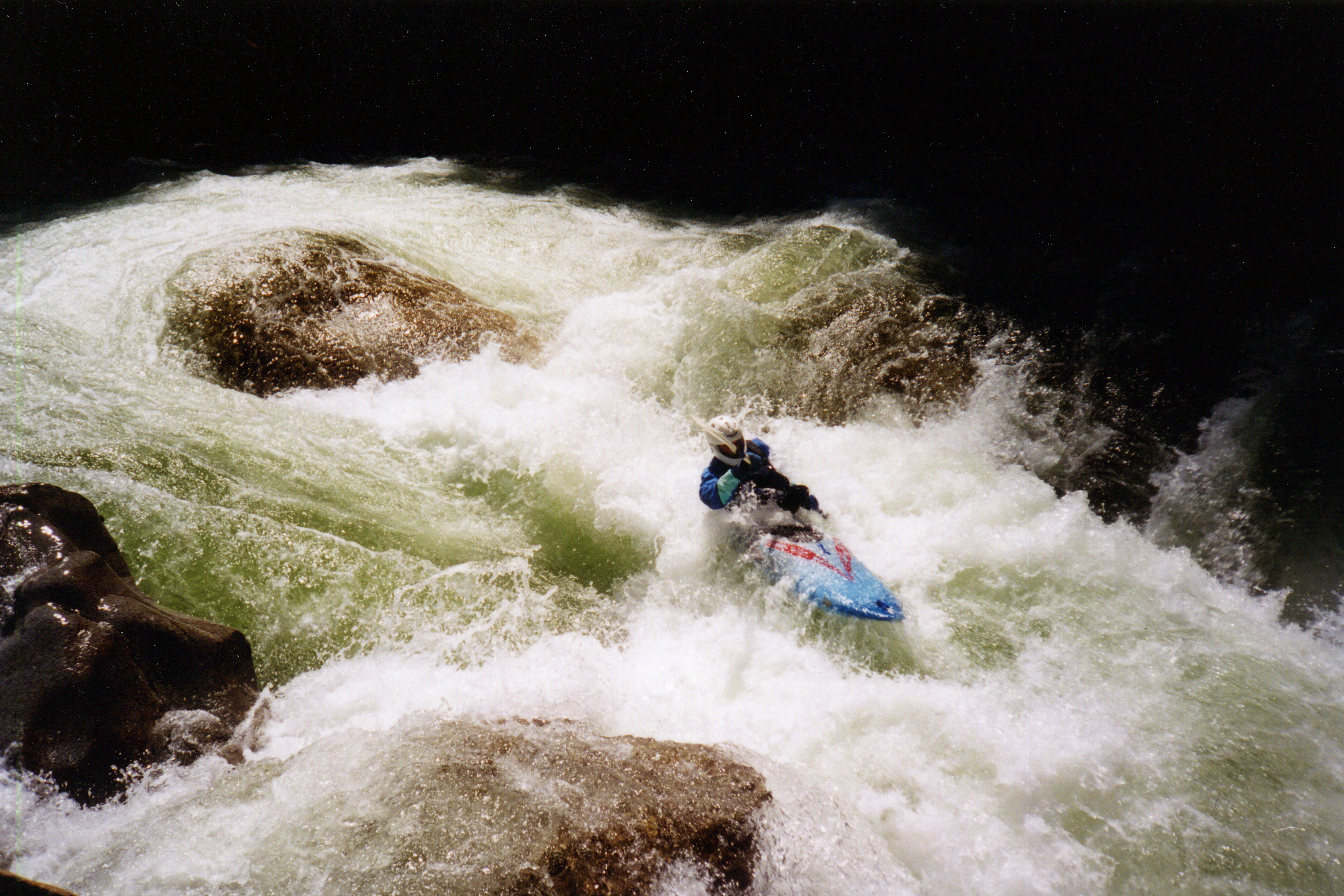
Skykomish, N. Fork
2. Bear Creek (Drum Beater) to South Fork Confluence(Canyon, Upper, and Lower North Fork Skykomish)
December 18, 2007
Road and Access Status Update
| Reporter | Thomas O'Keefe |
During storms in December 2006 the Index Galena Road providing access to the North Fork Skykomish River was damaged in 8 separate locations with severe damage that washed away the entire road at several of these sites. The road is closed to the public from mile 6.4 to mile 14. The traditional take-out at Trout Creek is located at mile 6.1 and the put-in at Drumbbeater is at mile 11.7. The washouts near the take-out (at mile 6.4 and 6.9) represent the most significant damage and the county anticipates it will take 5-10 years to complete engineering, secure federal funding for repairs, complete the work, and open the road for public use. As an alternative access you can drive up the Beckler and over Jack Pass approaching the put-in from the upstream end (the county has arranged for plowing this road as resources allow). The road however is gated at mile 14. Private cabin owners have a key to the gate but this is not open to the public. In addition a new slide at mile 13 that occurred during December 2007 storms now blocks the road preventing access even by cabin owners. Some paddlers have put in at the gate at mile 14 (although the gate is sometimes left open it can be closed at any time). The put-in at mile 14 adds approximately 2.3 miles on the run including a class II section and a portage at Bear Creek Falls and Drumbbeater (be sure you can recognize these).