Skykomish, N. Fork
2. Bear Creek (Drum Beater) to South Fork Confluence(Canyon, Upper, and Lower North Fork Skykomish)
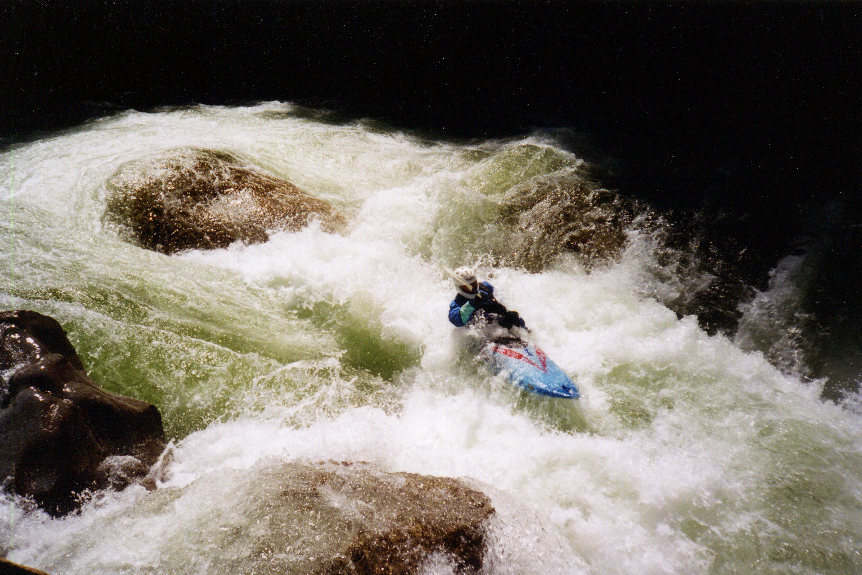
December 18, 2025
| Reporter | Thomas O'Keefe |
| Flow | High Runnable |
During recent high-flow events, the Index–Galena Road was damaged on the west side of the 499 Bridge on river right, at approximately mile 10.2, about half a mile downstream of Roostertail. This section of road lies at a low point where it passes through the channel migration zone and has been a chronic problem area for many years. During high flows, the river routinely overtops the road at this location, depositing debris as a high-flow channel is activated. During the most recent event, approximately one lane of pavement was lost, and hyporheic flow now passes into and through the road prism.
In addition, a major avulsion event at mile 3.0 on the Index–Galena Road resulted in the river activating a new channel a significant distance away from the road. As a result, the channel immediately adjacent to the road now functions as a high-flow channel that is dry except during the highest flow events. The recently reconstructed road realignment, which was moved outside of the channel migration zone between Trout Creek and the Seven Mile Access (mile 6.4 to 6.9), performed well during these events. Both the private Trout Creek access and the public Seven Mile access points remain in good condition.
Vehicle access to Roostertail and the Canyon section of the North Fork Skykomish is currently not available. Boaters will need to put in at the bridge or hike upstream.