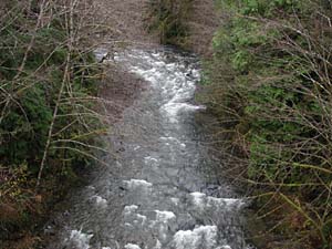
Snahapish
C-2700 Bridge (near Correction Cntr.) to Clearwater River
| Difficulty | II+(IV) |
| Length | 8 mi |
| Avg Gradient | 69 fpm |
| Reach Info Last Updated | December 6, 2001 |
SEASON: Winter rain storms.
ACCESS: At mile 147.0 on Highway 101 take Clearwater Road east
as it heads upstream. The put-in is at the C 2700 bridge across the river.
Take-out at Coppermine Bottom Campground or where C1010 nears the
Clearwater River near its confluence with the Snahapish River.
DESCRIPTION:
This run is a bit of a mixed bag. Recent reports have indicated
several log portages and the class IV drop can get too boney to run.
lat/long approximated by Tiger map server
for additional information see
No trip reports yet.