Bois Brule
B) Copper Range Campground to Hwy. 13 (9 miles)
| Difficulty | II |
| Length | 8.7 mi |
| Avg Gradient | 23 fpm |
| Gauge | Bois Brule River at Brule, Wi |
| Flow Rate as of 36 minutes | 109 cfsbelow recommended |
| Reach Info Last Updated | June 23, 2019 |
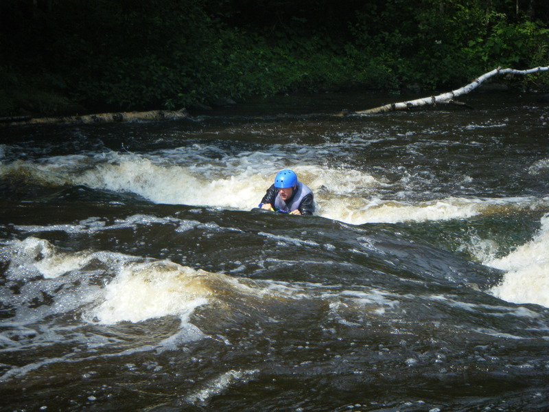
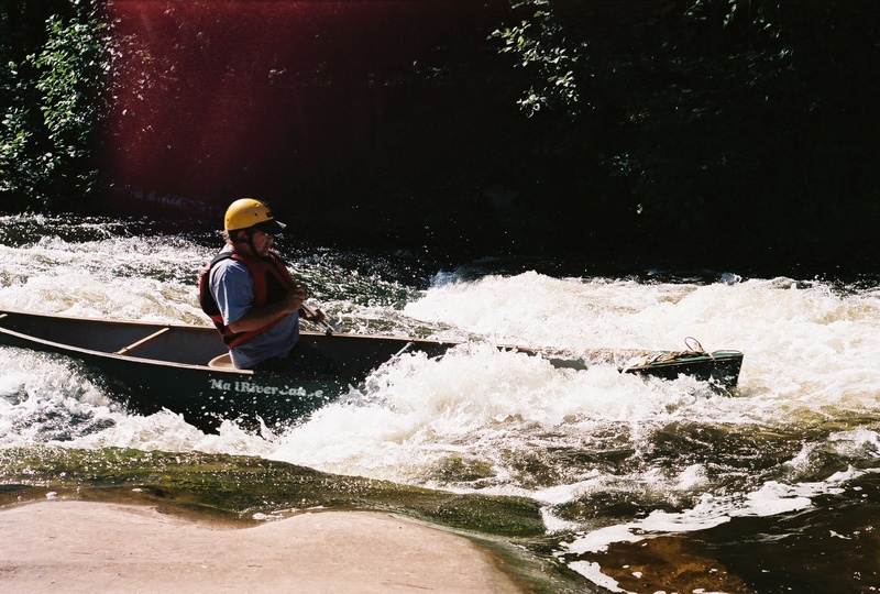
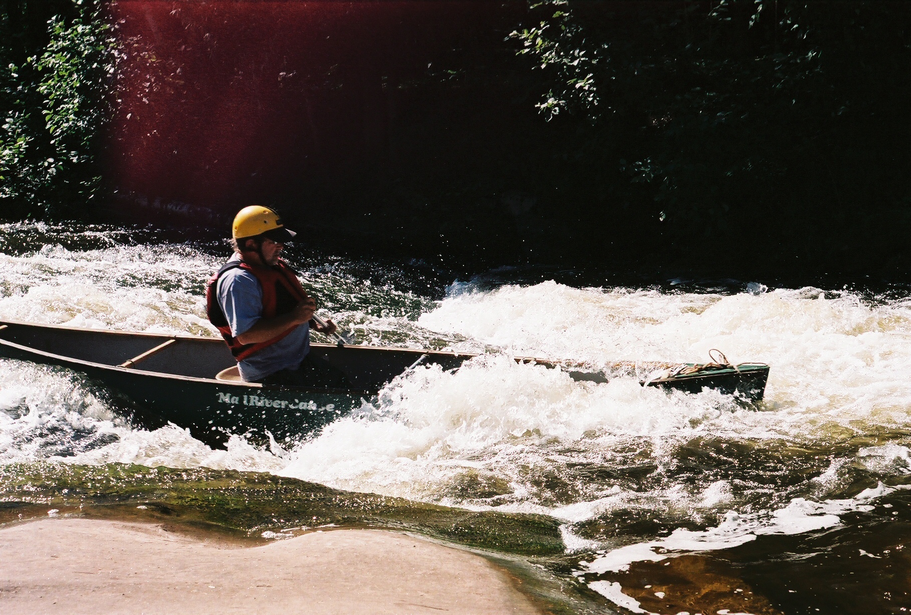
Very scenic river with mild whitewater, suitable to novice paddlers. (There are a few named ledges, but no significant or technical rapids.) Commercial outfitters are available for canoe or kayak trips on various reaches of this river. Local boaters paddle an abbreviated section of this reach up and downstream of Cty FF for the 'best of' but specifics are unknown.
Since the headwaters of this river are largely spring-fed, flows tend to be very even, providing boatable levels nearly all year.
It is important to note that while a map will show numerous potential access points, many of them are 'off-limits' as launch/landing sites, being designated as access only for fishermen.
According to the Canadian Encyclopedia, the name means 'charred wood' or 'burnt wood'. Also, the correct pronunciation is bwah broo- lay' (hear it spoken by going to https://www.youtube.com/watch?v=pdVlFAnNqHM), though you'll almost never hear it pronounced that way. In fact, there are many who will look askance at you for being so 'snooty' as to employ what they consider a 'mock French' pronunciation! Indeed, this river is often simply referred to as 'the Brule' (with the Anglicized pronunciation 'brool'). This can create some confusion, however, since there are two other relatively nearby Brule Rivers. One forms the border between Wisconsin and Michigan, and (after the confluence with the Paint and the Michigamme) becomes the Menominee River. While it does contain some whitewater, the rapids are no more than class I (marginally to class II) and there is so much flatwater that it must really be considered more of a flatwater trip for canoeists. The other Brule River (much less likely to cause confusion) being up in Minnesota, quite far North/East from Duluth, towards the Canadian border. This Brule contains some quite significant whitewater, and is detailed in the Mi
...