| Difficulty | II |
| Length | 7.2 mi |
| Avg Gradient | 24 fpm |
| Gauge | Oconto N.br. (nr Mountain) |
| Flow Rate as of 1 hour | 72 cfsbelow recommended |
| Reach Info Last Updated | September 27, 2011 |
River Description
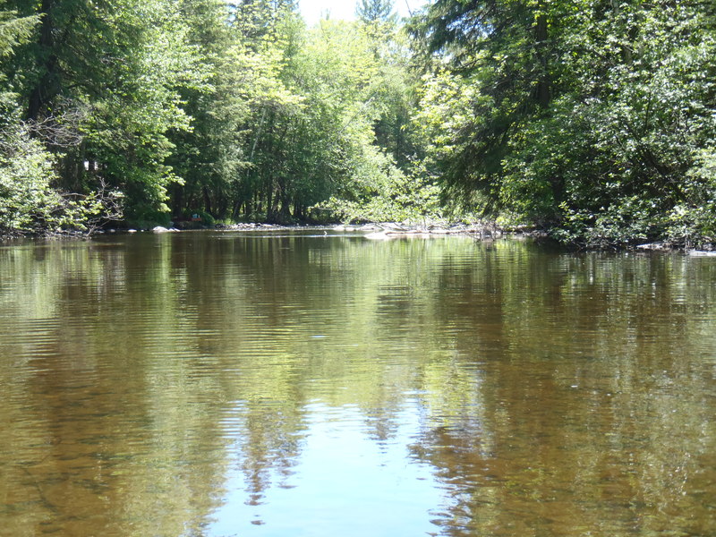
There are several different put-ins for this reach depending upon a paddler's interests. The 'traditional' put-in is from Tar Dam Rd but there are two alternate choices downstream of this location for paddlers that wish to minimize the flat/moving water paddling. (The distance and average gradient figures listed above reflect the entire reach.)
Tar Dam Rd
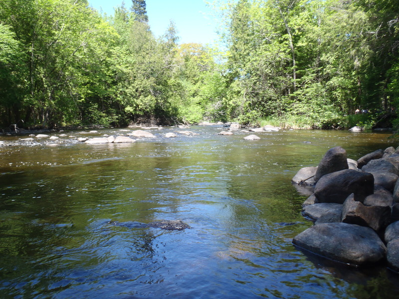
There are several class I-II rockbed drops shortly below the bridge. The remainder of the 1.1 miles to the next bridge is moving water only.
Old Hwy 32
Starting from this point yields a run of 5.9 miles. Loon Rapids begins about a half mile below the bridge and consists of some class I-II rockbed with one low sloping ledge (II). This ledge can create a strong hydraulic at high flows, which is evident from above and easily skirted on the left. Two miles of moving water follows and then a paddler encounters an enjoyable twisting series of class II rockbed drops in the quarter mile or so above the next bridge.
Hwy 32/64
Starting from this point yields a run of 2.8 miles and is recommended for those looking primarily for whitewater. The next mile and a half is near-continuous class I-II rockbed rapids, a joy for the paddler used to the 'lake/drop' nature of many Wisconsin rivers. This slows up a bit where there are several cabins close to the water river left. Just below, the river braids into several channels, some of which may contain trees. The section of braided channel serves as a warning that Krammer Dam Rapids is just ahead. Though the dam is long since gone, this is perhaps the most challenging part of this reach, edging into class III territory at high flows. The river takes a hard left just above the drop, and there is a decent eddy river right for scouting (though it's easy enough to boat scout). The river drops through a hard turn back to the right and features some sizable waves. This
...River Features
Put In
Access PointDistance: 0 mi
Loon Rapids
OtherClass: IIDistance: 2.1 mi

A fine stretch of low-grade (class II) boulder-bed rapids.
Krammer Dam Rapids
OtherDistance: 6.22 mi
(Location very approximate, based only upon description. Satellite resolution is insufficient to establish location via Google Maps.)
Take Out
Access PointDistance: 7.5 mi