Kings, S. Fork
2. Park Boundary to Boyden Cave

| Difficulty | IV-V(V+) |
| Length | 8 mi |
| Avg Gradient | n/a |
| Gauge | Sf Kings R Abv Roaring R |
| Flow Rate as of 29 days | 464 cfsstale data |
| Reach Info Last Updated | September 13, 2019 |
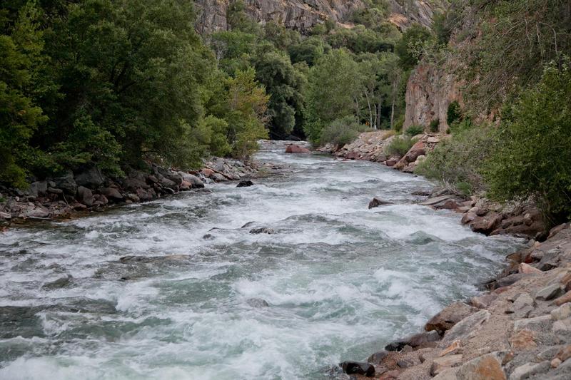
The South Fork Kings is very pretty and worth visiting just for the spectacular scenery. The whitewater is also excellent with two sections of class 4 boating, seperated by a section of class 5, 5+ and class 6 intermixed with great looking class 4. The river is all roadside so it is easy to pick and choose what you feel like boating. Flows on this section drop into runnable range after many other rivers have dried up, so it is an excellent late season destination.
Directions: From Fresno, take highway 180 through Grant's Grove towards Cedar Grove. Highway 180 climbs over Cherry Gap (6800 feet) then drops down into Kings Canyon. The road finally reaches the river at Boyden Cave, then follows the river to Cedar Grove.
Boating is not allowed on the SF Kings inside Kings Canyon Nat. Park from the confluence with Bubbs Creek to the park boundary. See: Seki boating. The river through Cedar Grove is mostly class 1 & 2 and would attract the unskilled. There is at least one short section of class 5 and perhaps a section or two of class 4 or class 3.
There are two sections of moderate whitewater between the Park boundary and Boyden Cave, seperated by a long section of very big drops and monstrous cascades.
The lower moderate section is about 1 mile long and ends at or just downstream of Boyden Cave. It is class 4 at reasonable flows but quite continuous. Put-in below the obvious monster rapids.
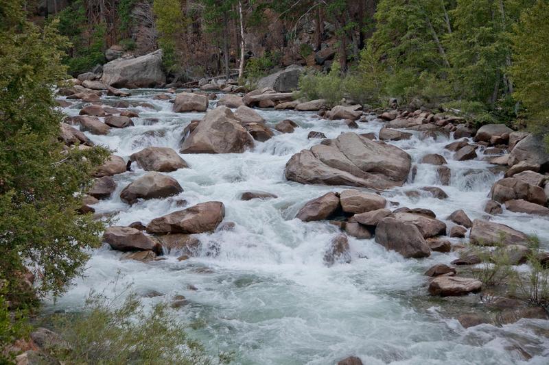
There is also a 3 mile moderate section from the park boundary to the Grizzley Falls picnic area. (Grizzley Falls is on a side creek) Depending on flow, the bigger rapids in this section are class 4 to class 5.
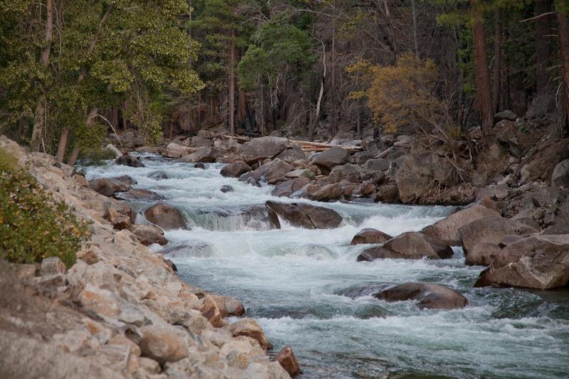
Put-in: Drive along the river till you see the park boundary sign. Park next to it but downhill and carry boats through the woods to the river. The Park boundary rapid is a wonderful, long, steep slalom, so it is nice to boat all of it.
Take-out below Grizzley
...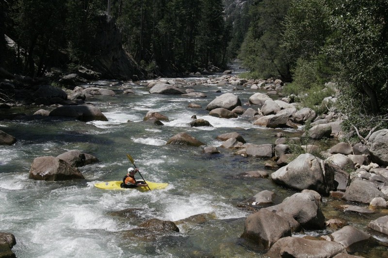
This rapid is a long, very busy slalom. There is a bit of a pool close to the actual boundary line, so you don't have to launch in the middle of the rapid.
The ledge is distinctly visible as you drive up the road and it is not difficult. We ran it center or center right. A left side drop looked to have pin potential. The lead in to the ledge is more difficult. Start from an eddy on the left, run the lead in and eddy out on the right above the ledge.
The run out below the ledge does not let up. Run it generally down the right. Scout from the road.

I think this is an awesome rapid. You could just park at the picnic area, run this rapid over and over and have a great day! It is long, busy and gets steadily tighter as you go. Use the eddies and make good decisions about which slots to take.
You can access the river at almost any location along this section, but this turn out works pretty well if you want to take out before the really big drops start.
Run a last rapid to the left, past a huge boxy boulder. Eddy out in the pool and take out behind the boulder. A short trail leads up to the road.
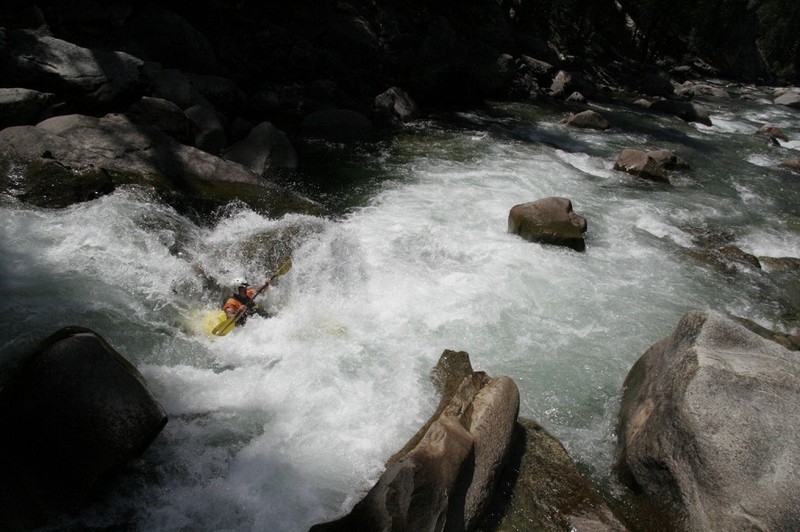
This obvious cascade below the Grizzly Falls Picnic Area marks the start of the middle section of big drops. Phil Martin ran it in some pointy boat back in the early 1990's but it was not encouraging to the rest of us. With todays boats and boaters it may seem of only moderate class 5 difficulty, but it has plenty of sieves and siphons, so don't get careless. Or maybe it still looks class 5+ even these days.
As you drive upstream from Boyden Cave, you will see class 3 and 4 whitewater till you see the Last Cascade. The change in difficulty will by obvious. If you are looking for the Big Stuff, you have arrived. Keep driving and enjoy. if you are looking for class 4 whitewater, turn around and park just below the cascade. You will have to hunt around a bit to figure out the easiest launching spot.
This is one of the more congested of the rapids in this section. It probably shifts around from year to year, but the cleanest lines are usually on the outside river left. The main river spreads out and drops over a debri fan from the creek.
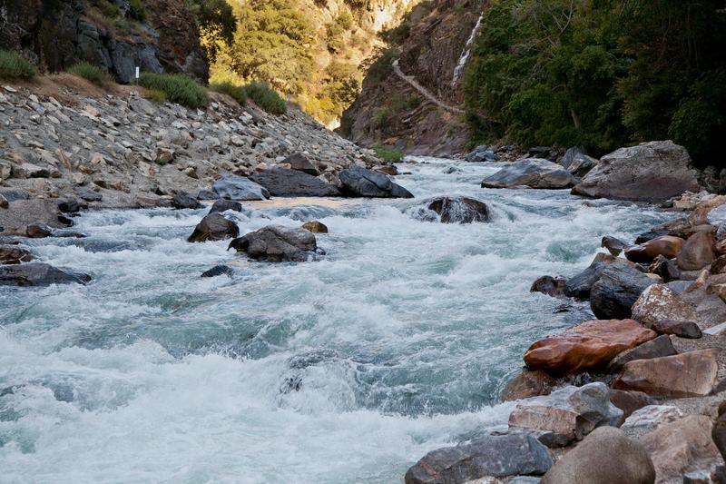
A good rapid to show off in for the tourists at Boyden Cave.
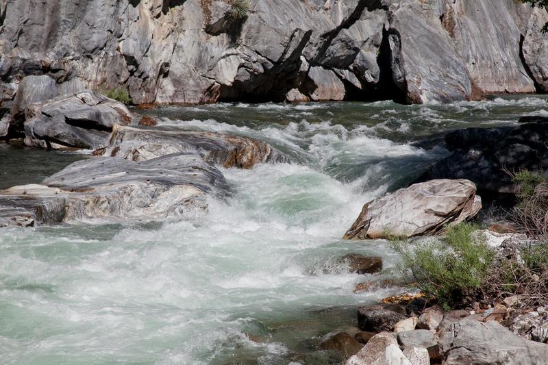
This is the last rapid before the river drops away from the highway. Pass under the highway bridge and a large white and black marble boulder marks the entrance to the rapid. There is a big turnout at the upstream end of the rapid, next to the bridge, so it is easy to scout. The marble walls and marble boulders in the rapid make it very pretty.
Aug 4, 2006
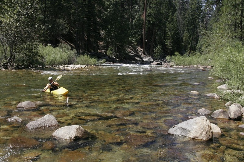
Trevor loosens up at the put-in pool at the Kings Canyon Nat. Park boundary. The first rapid is a long class 4ish technical slalom.