St. Croix
A) Gordon Dam to Riverside Landing (23.3 miles)
| Difficulty | I-II |
| Length | 23.4 mi |
| Avg Gradient | n/a |
| Gauge | St. Croix River Near Danbury, Wi |
| Flow Rate as of 40 minutes | 721 cfsbelow recommended |
| Reach Info Last Updated | September 7, 2020 |
The St. Croix was designated as one of the eight original Wild and Scenic Rivers in 1968.
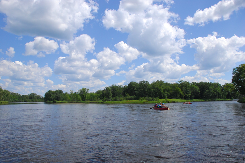
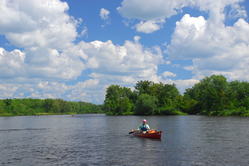
Formal access points are provided every few miles at bridge crossings and parks along the river, some of which provide overnight camping. Despite the number of access points that make it easy to customize a trip to fit your skills and time avaialable, the river still retains its wild character. Along the river designated camp sites (small 8 person sites and large 16 person sites) serve river runners with fire rings and pit toilets. The available campsites can get full on summer weekends.
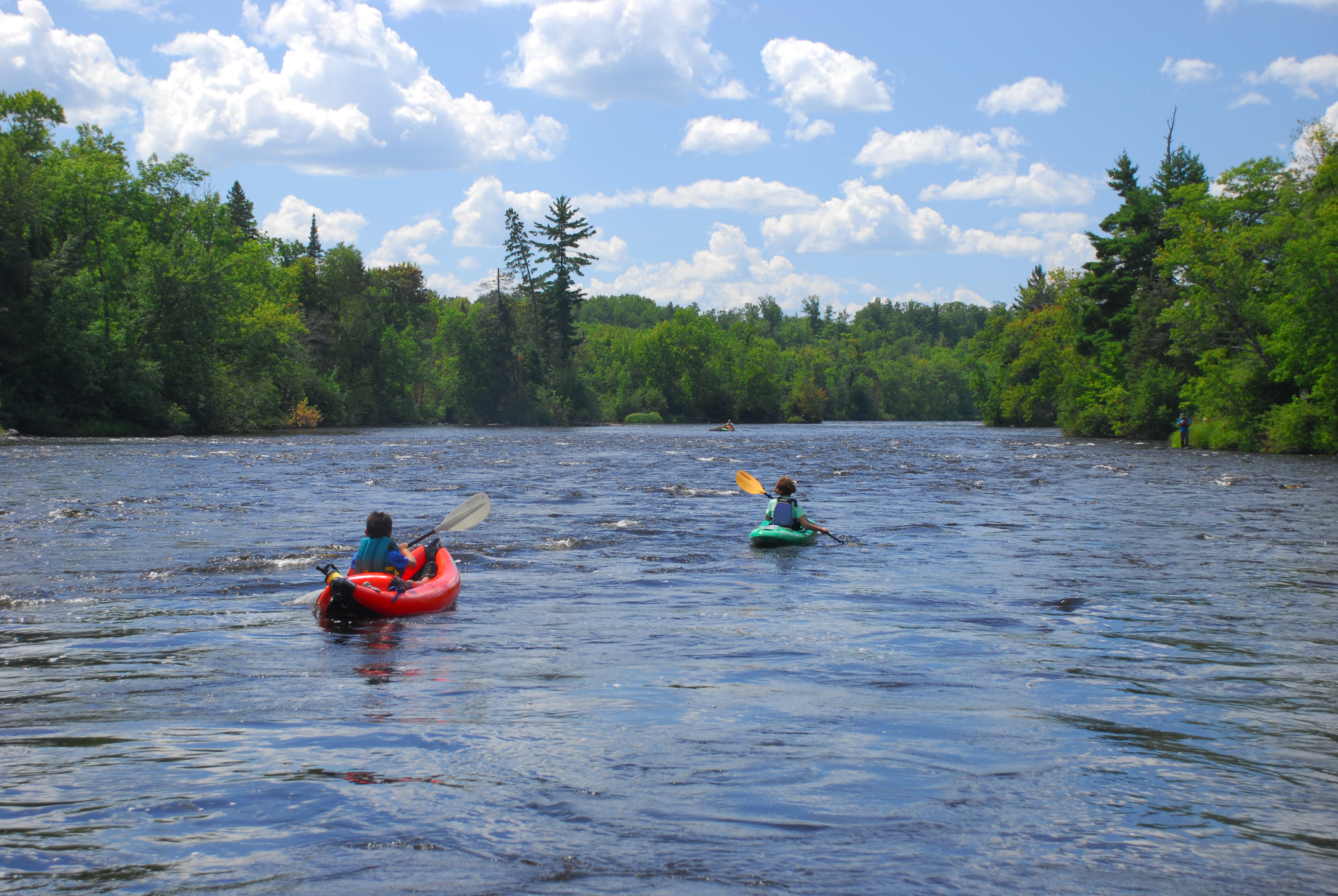
Most paddlers use open canoes for trips on the river and while much of the run is flatwater there are some easy class II rapids that require manuvering. The river is administered by the National Park Service which provides additional information on rules and regulations along with detailed maps and advice on how to enjoy your trip:
National Park Service: St. Croix National Scenic Riverway
Rapids include:
Scout Chute
Scott Rapids
Copper Mine Sluice Dam (Caution, there may be spikes in the old timbers which form this sluice.)
Bear Trap
Eagle Drop
Big Fish Trap
Little Fish Trap
(as well as a host of unnamed riffles and rips).
Drainage area at Grodon Dam is approximately 253 sq.mi. (as calculated via USGS StreamStats Beta software). At CCC Bridge, drainage has increased to ~419 square miles.

(All mileage/'distance' values are 'river mile' values, measured upstream from mouth, as listed in National Park Service info.)