Wolf
C) Hollister Rd to Langlade (Hwy 64) (8 miles)(Section 2 of the Wolf)
| Difficulty | I-II |
| Length | 8.2 mi |
| Avg Gradient | 15 fpm |
| Gauge | Wolf River at Langlade, Wi |
| Flow Rate as of 24 minutes | 293 cfsI-IIlow runnable |
| Reach Info Last Updated | September 7, 2023 |
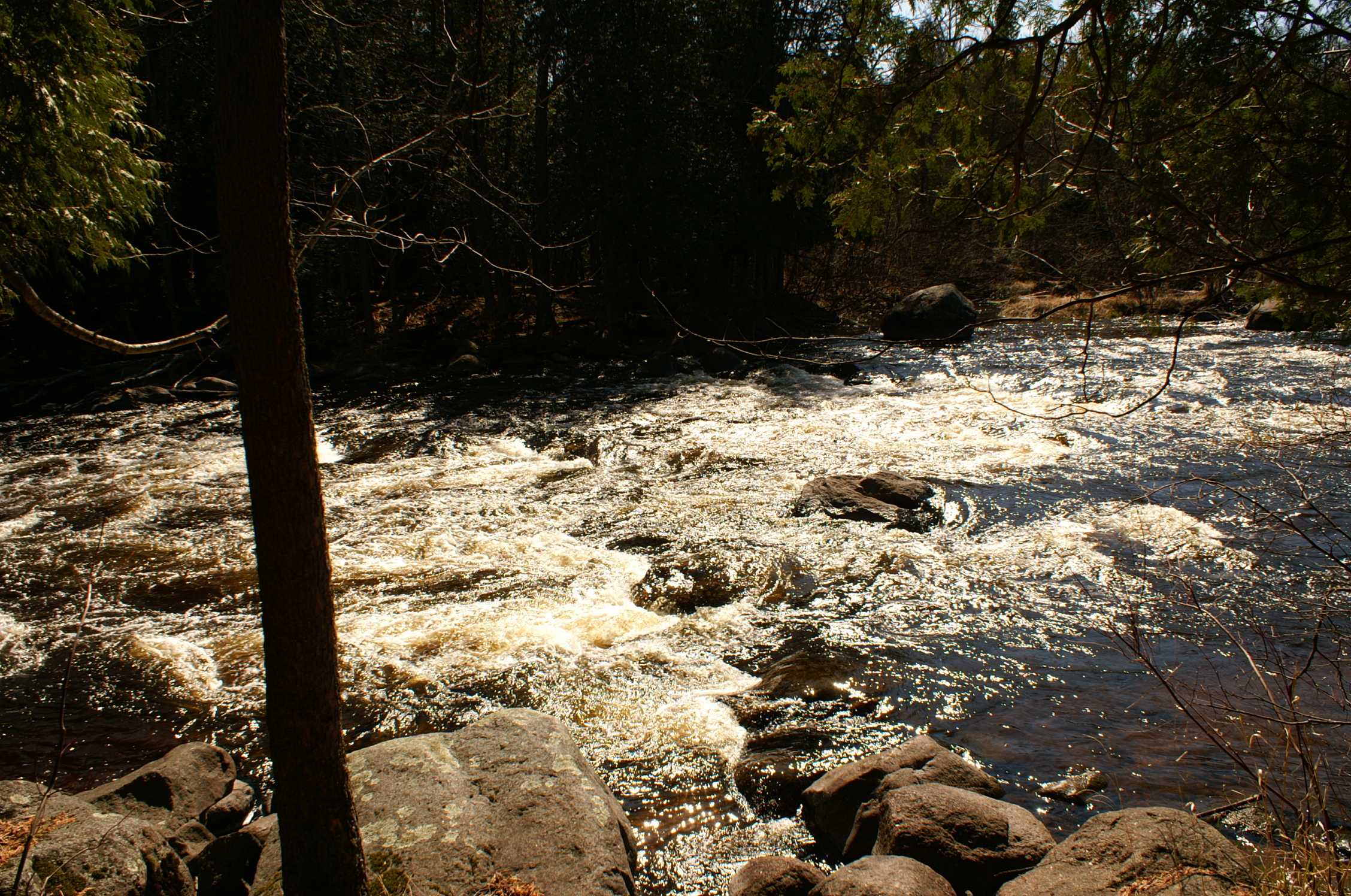
This 8-mile stretch (commonly know as 'Section II of the Wolf') is often paddled by beginners because it offers a variety of Class I and II rapids with good surfing waves and countless eddies.
Put in at Hollister Road, at the top of Burnt Point Rapids. After this Class II rock-garden there is about 2.5 miles of flatwater to reach a succession of three Class II rapids: Oxbow, Cedar and Hemlock. The last of these is the shortest but offers the biggest challenge of the three with its higher gradient.
Another two miles of flatwater follows, which passes Irrigation Ditch. Boaters commonly run from 'the Ditch' down to Langlade ('Short II'), as the shuttle is easy and the trip down this 3-mile section is less than two hours. (Use coordinates 45.21325 -88.75814 for directions to Irrigation Ditch.)
Three rapids follow on this section, with the second ( Sherry Rapid) being by far the most difficult on the entire stretch.
Take out on river right just past the Langlade Bridge. Wisconsin DNR maintains the public access, complete with outhouses and a large parking area.
'Paddling Northern Wisconsin,' by Mike Svob/Wisconsin Trails Press provides another fine reference for this (and many others) stretch of river.

A minor boulder garden as the river passes a number of islands and approaches a railroad trestle.

This occurs at (no surprise) at a big 'oxbow' in the river.
This is an alternate access point to do 'short section II'.