Klamath
08. Iron Gate to Sarah Totten CG
| Difficulty | I-II |
| Length | 49 mi |
| Avg Gradient | 13 fpm |
| Gauge | Klamath R Bl Iron Gate Dam Ca |
| Flow Rate as of 28 minutes | 901 cfsrunnable |
| Reach Info Last Updated | June 3, 2025 |
Restoring the Klamath River: A Historic River Reborn The Klamath River now flows freely for the first time in more than a century. The removal of the four lower Klamath dams—J.C. Boyle, Copco 1, Copco 2, and Iron Gate—marks the most ambitious river restoration effort in U.S. history. For [...]Read More
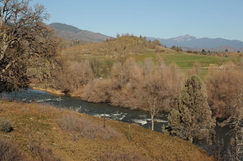
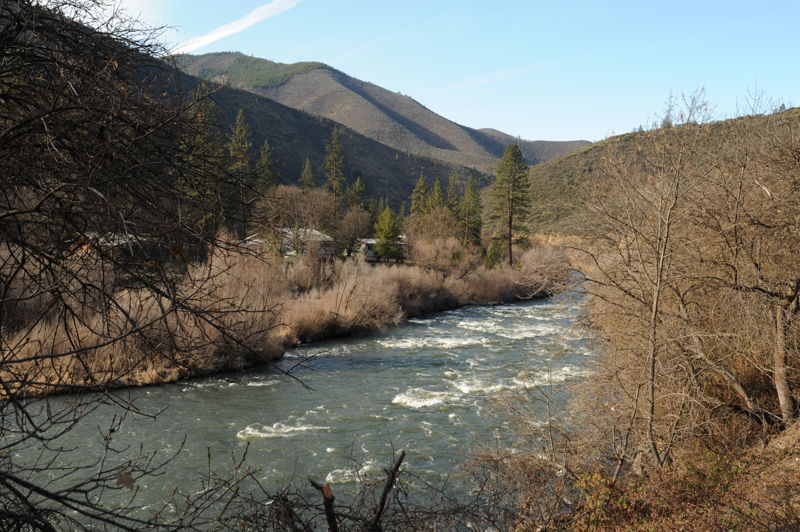
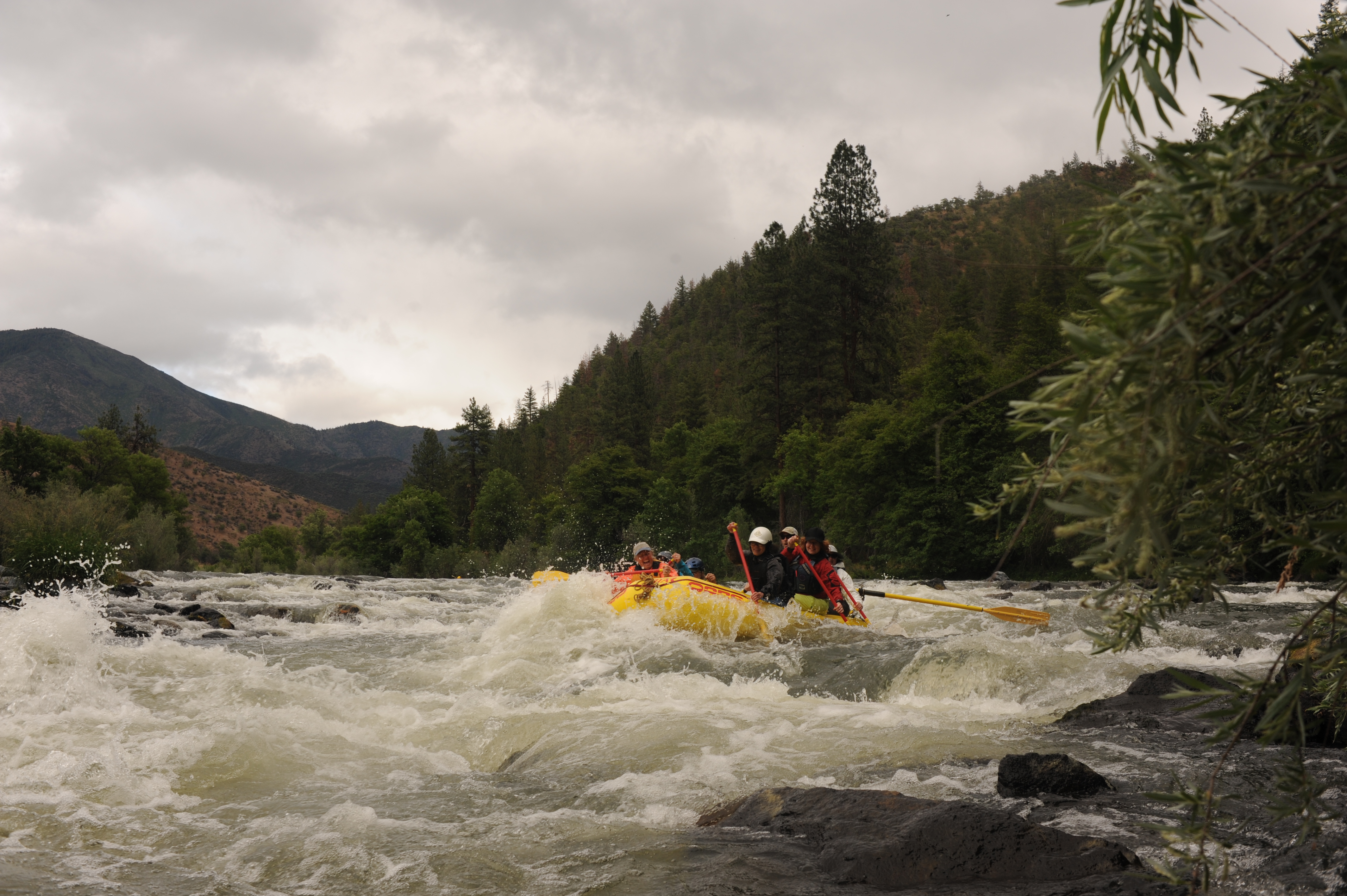
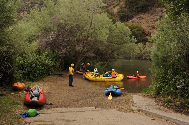
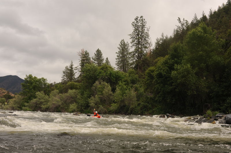
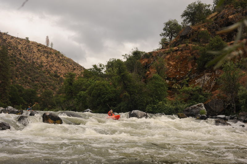
This section of the river begins just below the site of the Iron Gate Dam, which was removed in 2024, and contines through rural residential areas and ranch land before crossing under Interstate 5 and entering the Klamath National Forest at Ash Creek. It is along this reach that the river exits the Cascade Range and begins its long journey through the Klamath Mountains. Upon entering the Klamath Mountains, the river canyon becomes more forested and there are only a few homes and settlements along its course. A number of access points allow for day trips or a longer multi-day adventure. The run is roadside but traffic tends to be light along the roads that parallel this stretch.
Before the four hydroelectric dams upstream were removed in 2024, this section of the Klamath was plagued with blue-green algae originating in the reservoirs behind the dams. The algae released a toxic substance, microcyctin, after it died and began to decay. It was a serious public health issue most summers, and sometimes the river was posted with health advisories all the way to the ocean. Dam removal will considerably improve the water quality on this section and likely eliminate the algal toxins entirely (check current conditions and alerts).
Iron Gate to Tree of Heaven (18 miles with intermediate access points, Class I/II)
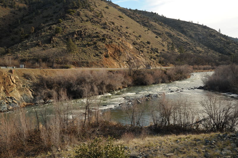
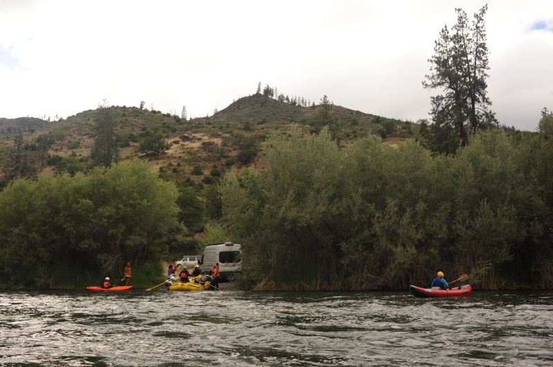
From Iron Gate down to Ager Road the river passes through rural residential areas and ranch land on a stretch that is utilized by fishermen. Over the next few miles the river winds through Hornbrook and under Interstate 5 and then parallels Highway 96 that continues down the Klamath River.
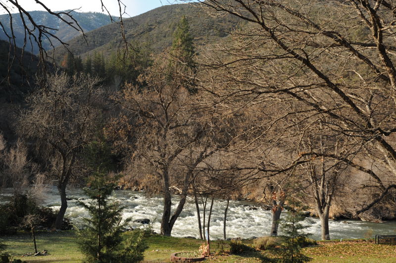
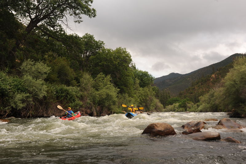
Tree of Heaven to Gottville (6 miles, Class II-III)
The Klamath River enters the Klamath National Forest a few miles upstream of Tree of Heaven Campground. The run from Tree of Heaven to Gottville is a very good beginner run with many Class II rapids, three Class II+ r
...
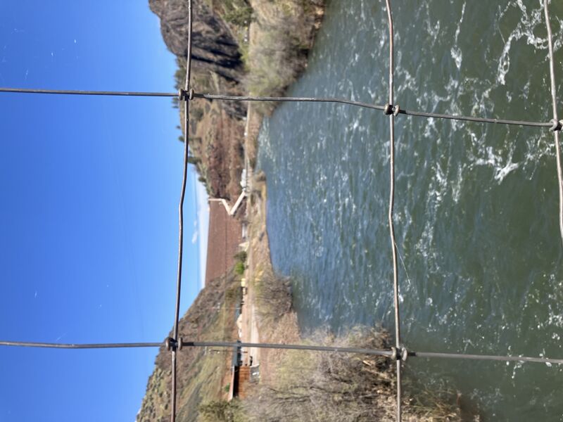
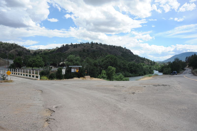
Iron Gate Dam was located immediately upstream of this access point that is on the downstream river right side of the Lakeview Road Bridge. American Whitewater worked to formalize this site as an access point for recreational river runners and fishermen as a condition of the surrender order for the hydrolectric site. The access point that serves river runners also serves as an access point for water trucks engaged in firefighting.
Access is available under the bridge on river right. Also known as Klamathon bridge.
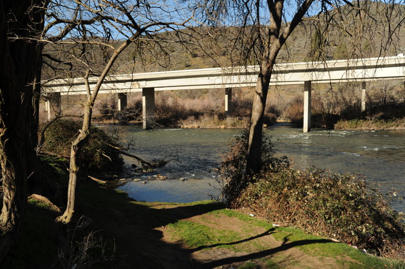
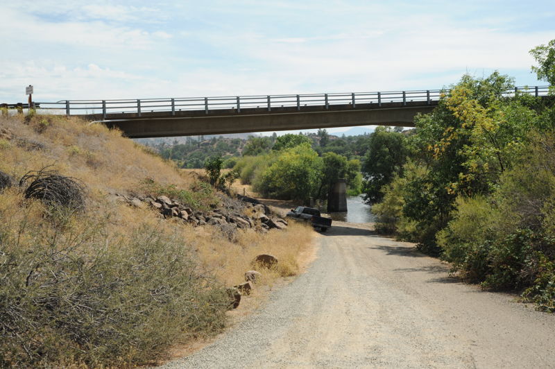
River access on river left under at the I-5 Bridge accessible off Klamathon Road within the interstate right-of-way. The river is also accessible at the riverside Collier Rest Area, one of the best riverside rest areas along the US interstate system (and a great place to charge your electric vehicle too).
Informal Bureau of Land Management river access on river right used by boaters and anglers.
Rapid just upstream of the Klamath River Road Bridge.
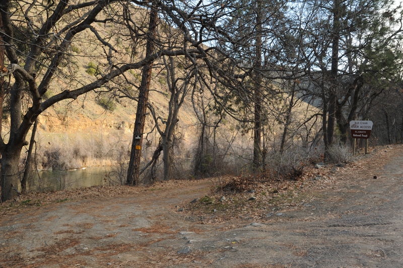
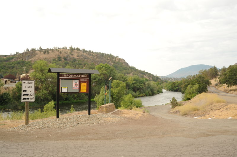
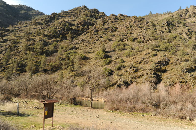
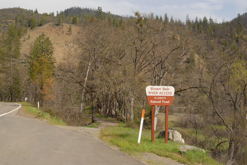
Recognized as a Forest Service recreation site. It has a sand ramp with limited parking and no facilities on river left just downstream of the Ash Creek Bridge.
This attractive riverside U.S. Forest Service campground and river access is conveniently located near I-5. The campground is open seasonally and may fill on pleasant-weather weekends. It features a good boat launch suitable for rafts, as well as a dedicated day-use parking area separate from the campground. The boat launch and day-use area are open only when the campground is open.
Humbug Creek comes in from river left and the outwash forms Humbug Rapid below the confluence. The bench on river left shows evidence of past mining activity.
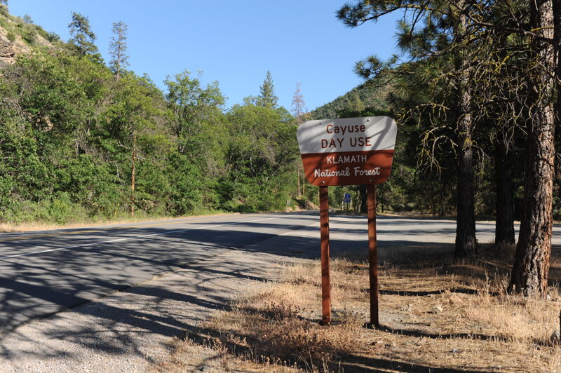
A Forest Service recreation site, Cayuse River Access consists of a large sand and gravel river bar and a gravel walking trail to the river. There is one picnic table and a public telephone in the parking area. This area is for day use only, no overnight parking or camping.
A Forest Service recreation site, this popular river access features a large wooded area with picnic tables and dispersed campsites. There is a gravel road to the water's edge. Use of rock fire rings, a barbecue or camp stove requires a current California Campfire Permit.
Exposed rocks at lower flows.

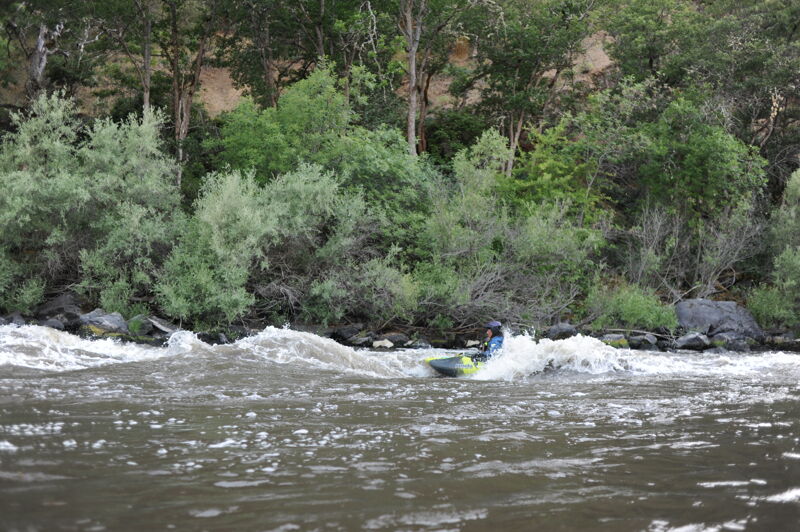
Where the river bends to the right. At midsummer flows (900-1150 cfs) you can enjoy a good play wave here. Some come here for park and play. Park at mile 93.5 on the highway where you will find space for a couple cars. A short trail leads down to the river.
These rapids may be the most difficult on this section. A midstream island gives you a river left or river right option. You can check it out from the highway on the shuttle or scout at river level.
A Forest Service Recreation site, the Gottville River Access has a sandy road and a concrete ADA accessible side walk to the water's edge. There is a ADA accessible restroom, parking area and dispersed camping area.
Some class II whitewater past the confluence with Beaver Creek.
This access is on a small parcel of Forest Service land just upstream of Quigley's Campground. From this access point you can easily walk over to Quigley's General Store and Deli for basic supplies.
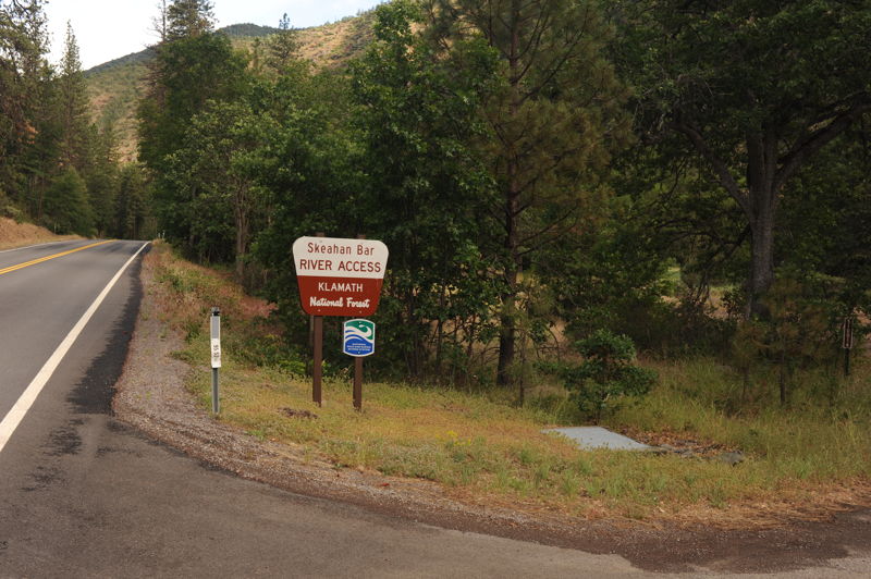
A formal Forest Service recreation site, this popular fishing access has a gravel road to the water's edge. Dispersed camping is allowed and there is some shade. There is an information bulletin board but no facilities. This nice river access was built with slide materials in cooperation with CalTrans and is a launching spot for kayaks and rafts.
This rapid comes into view as you come around a bend to the right.
A Forest Service recreation site with a graded gravel ramp to the water's edge provides access at this popular fishing spot. Limited shade is available for a few dispersed campers. RV's and trailers are an easy fit. There are no facilities but an information board has current info on campfire permits and fire restrictions for the area.
Rapid at the mouth of Tom Martin Creek. The line is down the right.
An access ramp is available in the campground.
This new rapid was formed by debris flow deposits coming out of the McKinney Fire footprint in late 2022. The rapid changes frequently and has, at times, included metal debris.
Apr 6, 2025
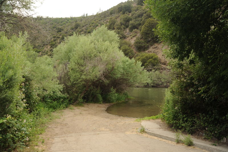
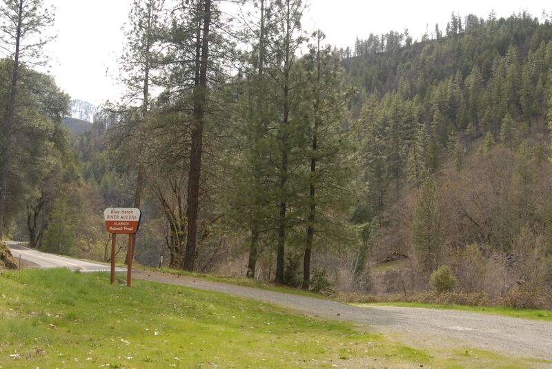
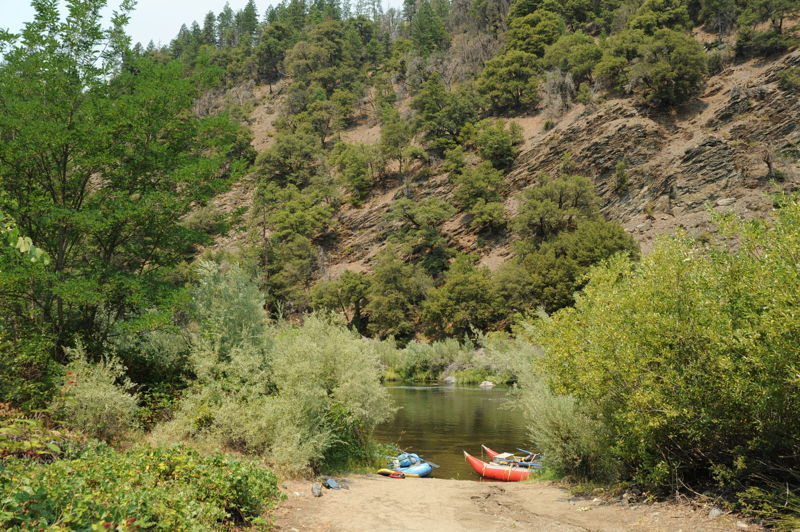
Photos of a few of the access points on a drive up Highway 96.
Jun 11, 2024
Evening park and play session at Schoolhouse Wave. Flows were good but a short boat would have been better than the long boats we had.
May 13, 2023
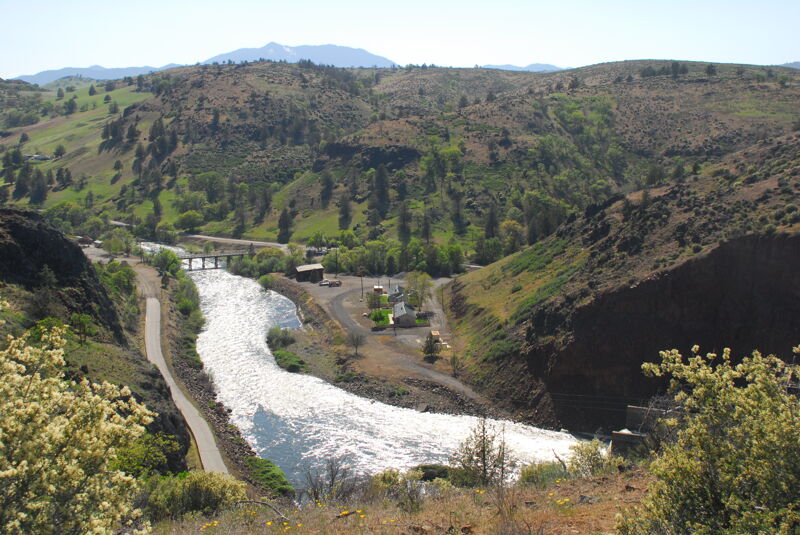
Spring evening at Iron Gate Dam, scheduled for removal in 2024.