Cheat, Dry Fork
4. Jenningston to Hendricks
| Difficulty | II-III+ |
| Length | 13 mi |
| Avg Gradient | n/a |
| Gauge | Dry Fork at Hendricks, Wv |
| Flow Rate as of 55 minutes | 1.80 ftbelow recommended |
| Reach Info Last Updated | February 22, 2026 |
Alternate put-in at head of river road (Gladwin). Alternate takeouts at end of river road (Gladwin), at confluence with Otter Creek (footbridge and parking lot access to Otter Creek trail) and at AW takeout at foot of 2nd street in Hendricks (footbridge).
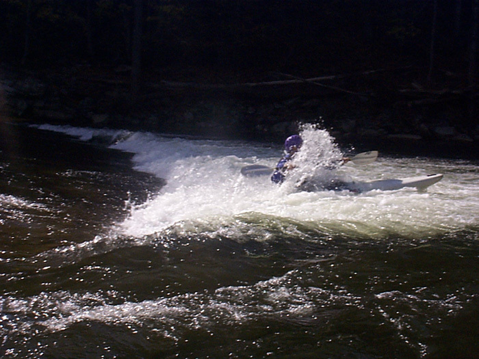
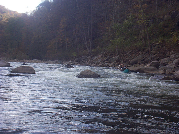
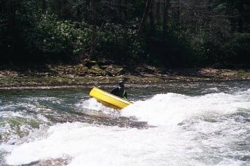
The lower Dry Fork starting at head of river road (Gladwin) is an excellent intermediate training run and a surfer's paradise with numerous holes and waves, some of which are even fine park and play. Though not a wilderness run, it's still very scenic with creeks entering from both sides and several waterfalls cascading in from the left. In addition, this may be the safest class III run in WV, since it harbors little in the way of large boulders,undercuts,strainers or recirculating holes. It has been run at very high levels by strong advanced paddlers. River road runs streamside for approx 5 miles.
The (once) popular takeout 1 mile downstream of Otter Creek is not recommended since there have been several incidents of vandalism to paddlers vehicles there. CJ's Pizzeria in Parsons is the post-paddling spot for food and libations.
Directions from AW takeout in Hendricks: Take Rte. 72 South to river road (1st right after crossing bridge over Red Run). To put in at Gladwin, stay on river road past the AWFS flood gauge to a wide spot on the road, above which this road becomes private property. To put in at Jenningston, turn left at the AWFS flood gauge and then right onto Rte. 72 south and follow Rte. 72 to a right on the Jenningston road (yes, there is a sign). Cross the bridge in Jenningston and turn downstream to a small parking area in approx 200 yards.
For advanced/expert paddlers looking to boat the Dry Fork as a dessert run, the Blackwater River and Otter Creek are nearby.
Paul
Jenningston Put In - For the complete Longer version of the reach
Otter Creek Trail Foot Bridge
Last Major rapid on approach to the town of Hendricks
AW takeout at foot of 2nd street in Hendricks (footbridge).
Aug 13, 2020
The takeout is at the swinging bridge access in Hendricks. It is not clearly marked as the AW takeout, just as a boat launch. There is a grassy lot at the end of 2nd street and Poplar ave next to the swinging bridge access for parking and river access.
Aug 13, 2020
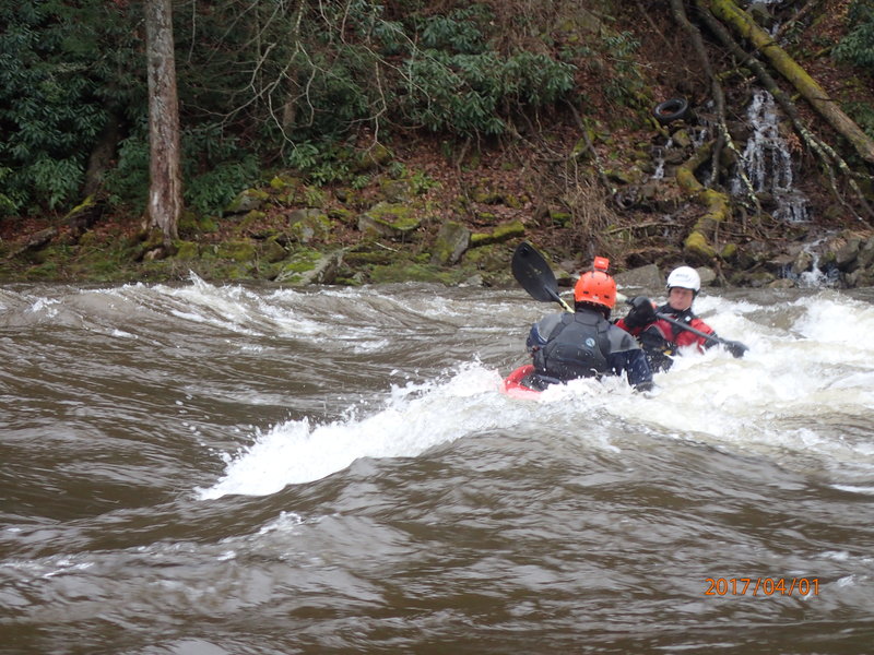
At 4 feet on the gauge, some of the lower rapids below Otter Creek are solid class 4. Very large holes to be avoided, and solid moves in large waves.
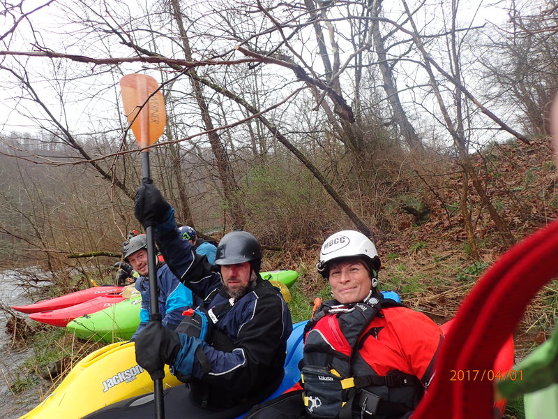
Apr 6, 2017
Ready to launch at the Dry Fork
Feb 19, 2007
There is a new campground in Parsons called Five River Campground owned by John & Joyce Bowers.They are great folks and very boater friendly. The sites have electricity, water and cable hookups if you want. There are flush toilets and HOT showers. The first time we showed up there it was 2 am and raining and the first thing we saw was two double car ports which are available at no extra charge. The campground sits on the banks of the Cheat River. To reach the campground turn north onto Walnut street between the courthouse and the old bank building and follow this street right into the campground. Their website is www.fiverivercampground.com and e-mail at joycebowers@frontiernet.net. Phone # is 304-478-3515. Check them out.