Cheat, Glady Fork
2. US 33 Bridge to CR 12 bridge near Sully
April 29, 2013
| Reporter | David Su |
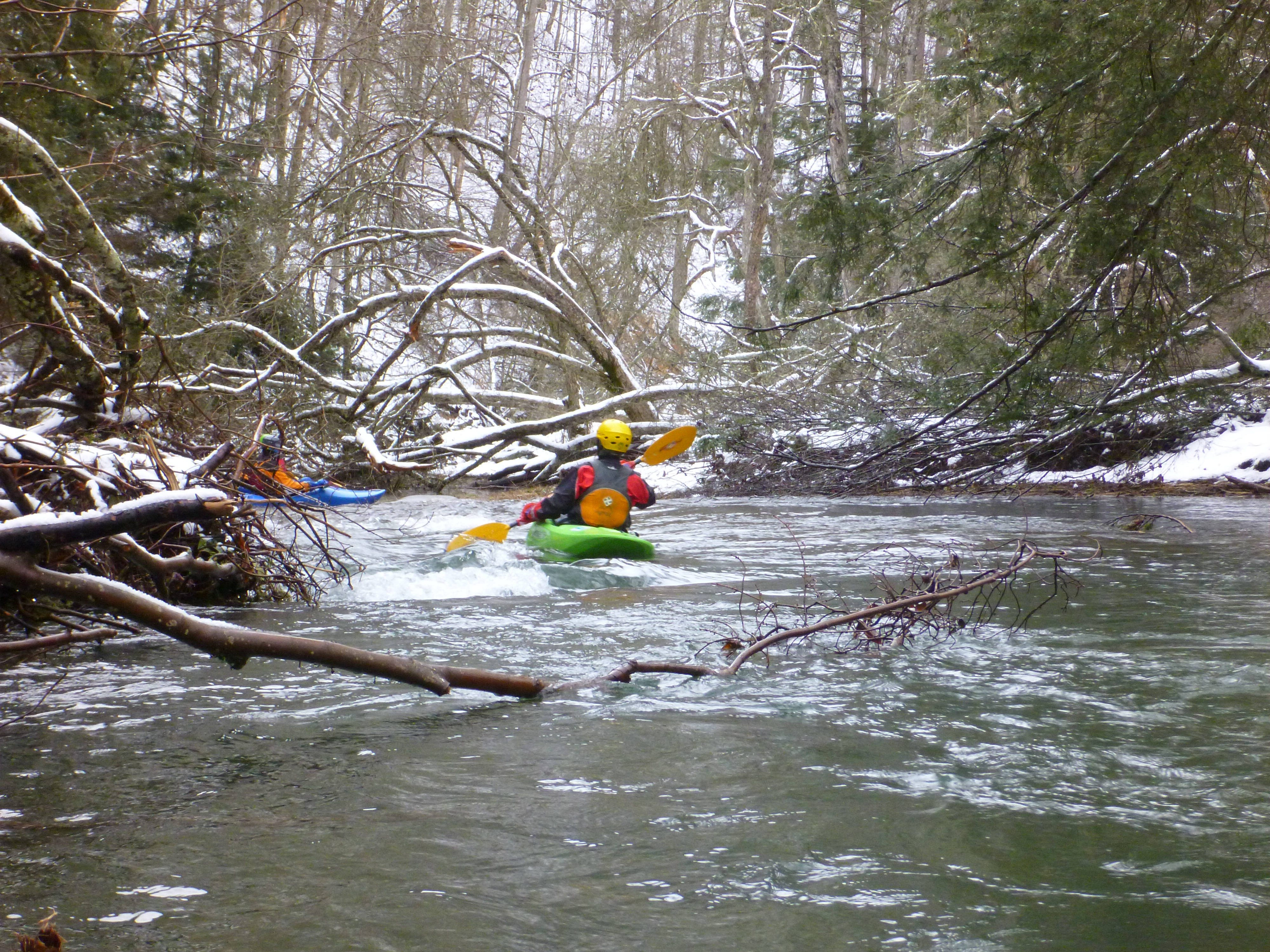
2013 - This section of the Glady Fork of the Cheat is 10 miles from the Rt.33 put-in to the CR-12 bridge near Sully; the shuttle is only about 2.5miles. The first 5 miles is mostly slow meanders as the posted picture; water levels pictured at ~275cfs. In the second 5 miles (example picture posted) we encountered many river-wide blow-downs with some strainers. It appears as if a microburst was recently in the valley, bringing down many full-size trees and many across the river. It significantly slowed progress to the bridge and the 10 mile run took us about 5 hours. Even if there were interest in clearing this river section of the most dangerous strainers, it would take concerted effort and a long time to accomplish. The map indicates a dead end road on the east bank of the river, but we found it barricaded by the Sully Rd. Bridge and it seemed perhaps little used. The river bank was mostly mature mountain laurel which looked little disturbed. If the river were over 300cfs and swifter it should induce great caution about the strainer hazard over the second 5 miles to the CR-12 (Sully Rd.) bridge.