Gandy Creek
Sinks outlet to Cheat River, Dry Fork
May 19, 2022
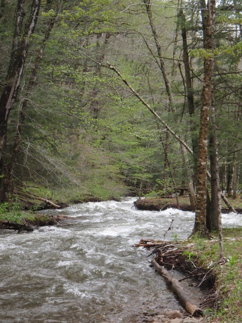
As noted in previous comments, there are two spots to look out for, both visible on the drive upstream (and in the gallery). The first is a class III rapid under the second pedestrian bridge, with the best route on the right side. The second is an undercut cliff on the right, with a hole next to the undercut, runnable on the far left. Strainers can be a problem due to the swift current -- in many places it's difficult to find an eddy. We ran about 6 miles down to where the road turns to gravel. Hendricks was 5.0 feet (4800 cfs), and 3.8 feet at Job which is a much better gauge for this section: https://waterdata.usgs.gov/monitoring-location/03063550.
May 8, 2022
Gandy Creek 3.8' Job USGS
May 1, 2011
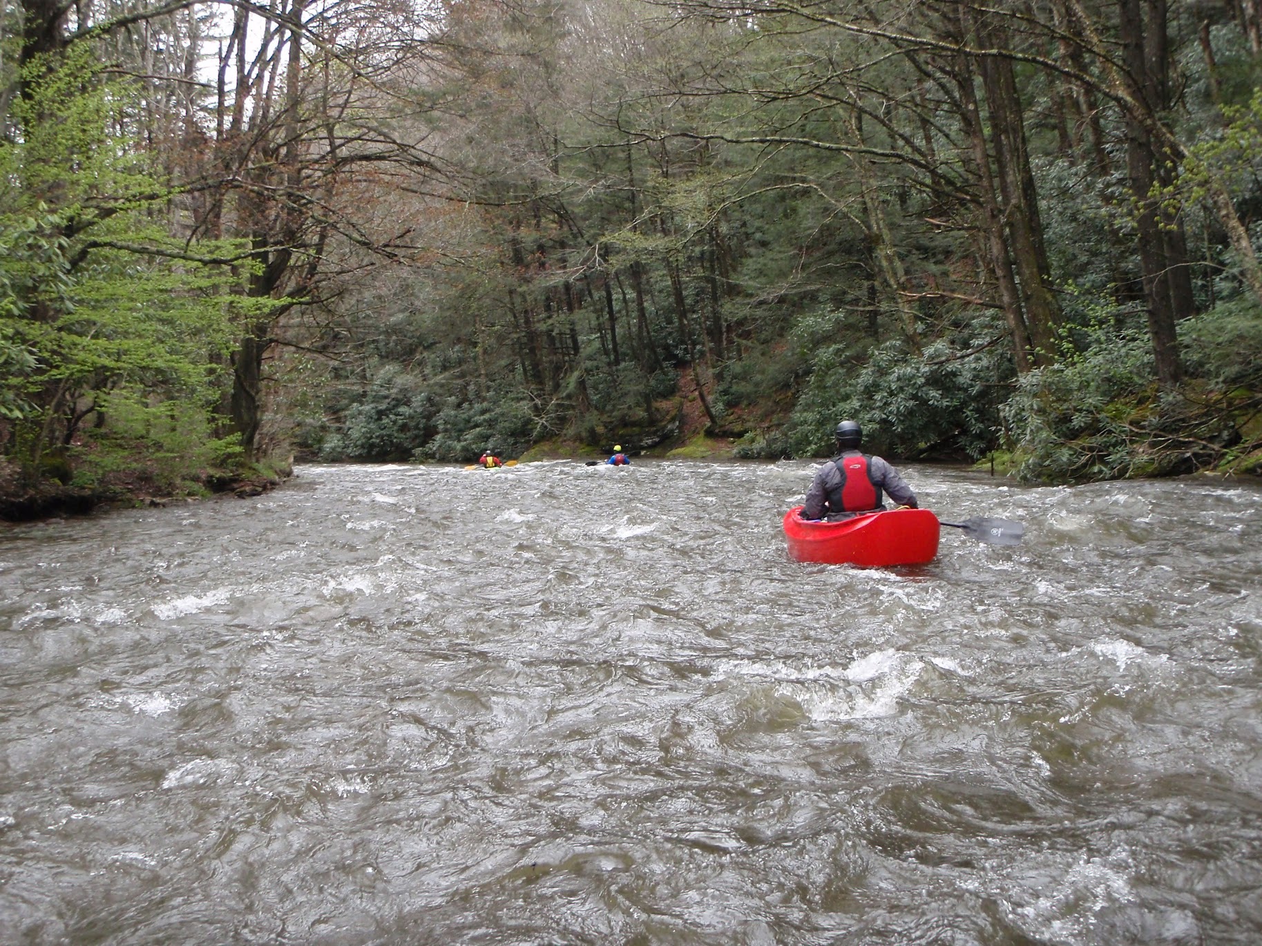
Lots of us ran this during the April 2011 WV Week of Rivers, starting at the first bridge below the cave outlet (as to get to the outlet requires about a quarter mile carry). We encountered only 3 strainers in 8 miles (taking out 4 miles above the confluence). There are two class III ledges that you might want to scout, one of them on the undercut left turn mentioned in the other comment (where there were no longer any logs, and there was a clean line left of center), and the other a few miles above that (the best line is on river right). Overall, this is a delightful trip.
May 4, 2009
Ran this in a canoe on 5/3/09, with rain falling and the Dry Fork at 4.76 and rising. The upper few miles from the sinks outlet to the campsite areas are narrow with tons of down tees. We put in at the furthest upstream campsites and had 2 miles with LOTS of strainers and then 5 miles of excellent class II-III down to Whitmer. One bad spot just before the road crossing where the river runs into an undercut cliff with logs and then turns left under the road bridge-- be careful or portage on the left. At least one more set of bad strainers between the bridge and Whitmer. Next time I would put in at the next set of campsites downstream from where we did (just before the road veers away from the river for the first time if you're driving upstream) and run all the way to the dry fork confluence or to Harman for the best whitewater and fewest trees. Enjoy.
-Ben