Gandy Creek
Sinks outlet to Cheat River, Dry Fork
May 4, 2009
Trip Report
| Reporter |
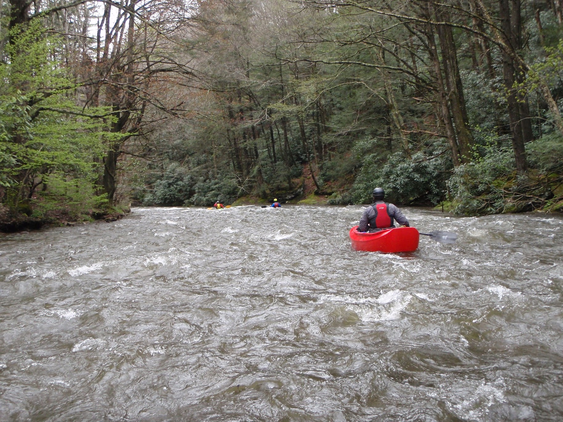
Ran this in a canoe on 5/3/09, with rain falling and the Dry Fork at 4.76 and rising. The upper few miles from the sinks outlet to the campsite areas are narrow with tons of down tees. We put in at the furthest upstream campsites and had 2 miles with LOTS of strainers and then 5 miles of excellent class II-III down to Whitmer. One bad spot just before the road crossing where the river runs into an undercut cliff with logs and then turns left under the road bridge-- be careful or portage on the left. At least one more set of bad strainers between the bridge and Whitmer. Next time I would put in at the next set of campsites downstream from where we did (just before the road veers away from the river for the first time if you're driving upstream) and run all the way to the dry fork confluence or to Harman for the best whitewater and fewest trees. Enjoy.
-Ben