| Difficulty | III-IV+ |
| Length | 5.3 mi |
| Avg Gradient | 105 fpm |
| Gauge | Piney Creek at Raleigh, Wv |
| Flow Rate as of 42 minutes | 1.95 ftbelow recommended |
| Reach Info Last Updated | February 8, 2025 |
River Description
The steepest mile is the last one to the confluence with the New River.
River Features
Put In
Access PointDistance: 0 mi
Take Out
Access PointDistance: 4.9 mi
Trip Reports
Log in to add a reportMB
Mike Beswick
Jul 3, 2011
this is a very difficult to portage, twisting falls, dropping @16feet
MB
Mike Beswick
Jul 3, 2011
difficult to scout, a bear to portage
MB
Mike Beswick
Jul 3, 2011
first bigger rapid, right before river moves away from the road
MB
Mike Beswick
Jul 2, 2011
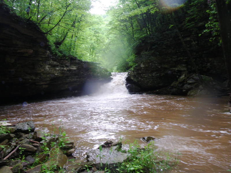
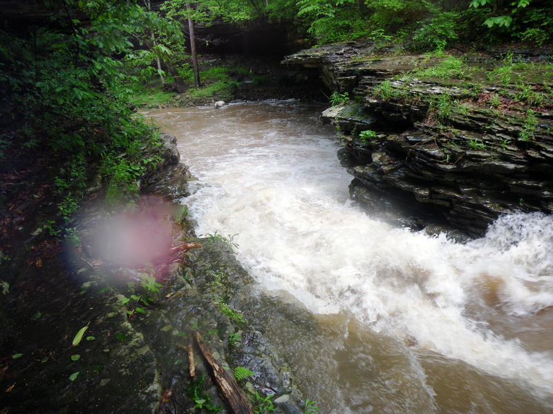
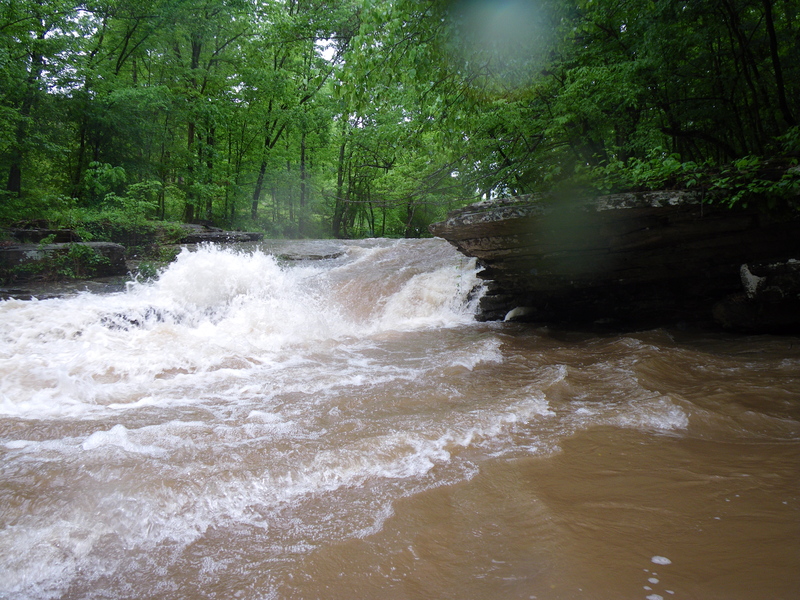
Ran this may of 2011, at a relatively high level. first few miles were non de-script, running through backyards. About a mile and a half from the New, it steepens quite a bit. There is a 12 foot narrow slide behind a church, then the river moves away from the road. Several class 4 boulder rapids are encountered, then a distinct horizon line appears. A large ( 16 feet or so) twisting falls is encountered, immediately following a boulder pile. Drifting into it blind would be hair raising, and portaging it is a bear. It is also impossible to scout throughly, because of the sheer nature of the gorge at this point. After this falls, another nasty, 12 foot or so falls onto a clapper rock is encountered. again, portaging involves climbing out of the gorge, working downstream, and re-entering several hundred yards later. Things calm down until the confluence with the New. All in all, more than I bargained for in reading the rating.
RS
Robert S. Farmer
Feb 2, 2006
On my atlas, this is called 'Laurel Branch,' which is a trifle less confusing than yet another Laurel Creek.