| Difficulty | I-II |
| Length | 4.1 mi |
| Avg Gradient | 40 fpm |
| Gauge | Greenbrier River at Buckeye, Wv |
| Flow Rate as of 41 minutes | 2.31 ftbelow recommended |
| Reach Info Last Updated | October 28, 2001 |
River Description
Lat/longitude coords are approximate, from TopoZone.
River Features
Put In
Access PointDistance: 0 mi
Take Out
Access PointDistance: 3 mi
Trip Reports
Log in to add a reportJD
John Duke
Apr 18, 2018
There are indeed two small creeks named Little River in the Greenbrier River watershed. Both are marginally runnable and both have many strainers. The one in the description is a tributary of the West Fork Greenbrier deep in the National Forest along FS road 17. The other is a tributary of the East Fork Greenbrier River running along US Route 250 near Buffalo Lake.
JD
John Duke
Aug 30, 2016
If you are looking for this creek with the map or given coordinates, you will be at the WRONG Little River.
B
Ben
Apr 25, 2011
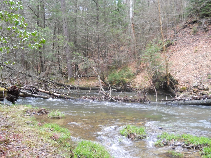
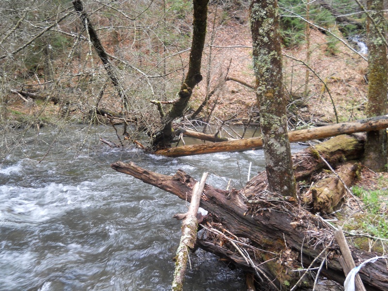
First of many, many hazards to come.
B
Ben
Apr 24, 2011
Trees were down one after another - a nice hike, but don't bother paddling Little River.
B
Ben
Apr 24, 2011
The first of many, many sweepers on Little River.
B
Ben
Apr 24, 2011
Trees were down one after another - a nice hike, but don't bother paddling Little River.
B
Ben
Apr 24, 2011
Trees were down one after another - a nice hike, but don't bother paddling Little River.