Lost
2. WV 55 Bridge 3.7 miles above Wardensville to WV 259 Bridge below Wardensville(Dry Gorge)

| Difficulty | II-III(IV) |
| Length | 7.1 mi |
| Avg Gradient | 40 fpm |
| Gauge | Waites Run Near Wardensville, Wv |
| Flow Rate as of 1 hour | 3.31 ftbelow recommended |
| Reach Info Last Updated | October 4, 2024 |
The Lost River Dry Gorge is up only in the winter, spring or after a prolonged wet period. Much of the river literally 'sinks' above the gorge, only to reemerge on the other side of the mountain from large springs. Because of this, the riverbed is mostly dry much of the year. A large bridge for the Corridor H project has been built just downstream of the putin bridge, and a long stretch of parking was added along the edge of route 55 .
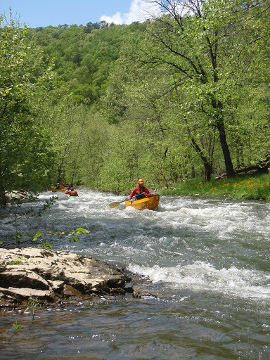
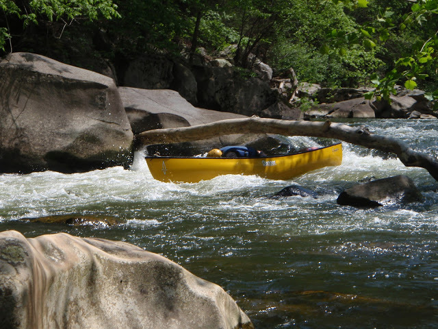
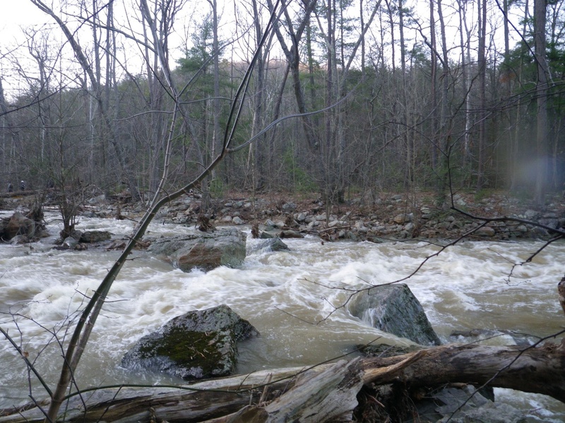
The first few miles are characterized by closely-spaced Class II-III rapids. Strainers can be a problem. There is a low-water bridge 2/3 of the way through that should be scouted. At favorable levels, one can run hard right or line up with the jet currents flushing through culverts under the bridge to ride the flow out of the hydraulic. Portage and scout on the right.
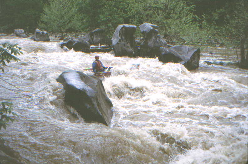
Landslide is the final and major rapid on the run (Class IV due to undercut rock on the right, part way through the drop) and should be scouted from the river left island. The rapid is a steep chute featuring offset holes, squirrely current and that undercut. Run center left working right to avoid a large boulder at the bottom center. The channel remains choked below, so swimming can be a bruiser.
Portage a second low-water bridge on the right and proceed to the takeout below Wardensville.
South (upstream) of Wardensville along old WV 55 under the Corridor H Bridge.
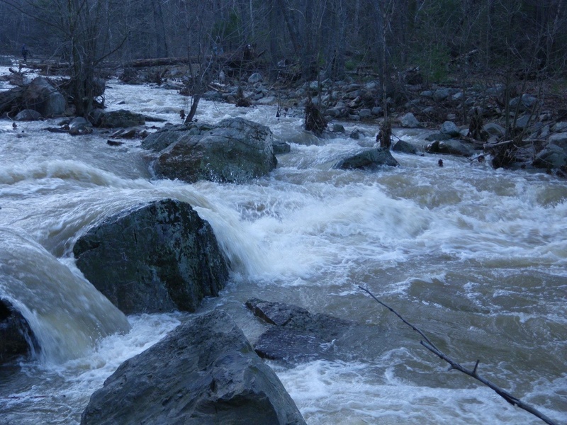
'Landslide' is the final and major rapid on the run (Class IV due to undercut rock on the right, part way through the drop) and should be scouted from the river left island. The rapid is a steep chute featuring offset holes, squirrely current and that undercut. Run center left working right to avoid a large boulder at the bottom center. The channel remains choked below, so swimming can be a bruiser.
Near the WV 259 bridge North (downstream) of Wardensville, WV.
Mar 3, 2021
As of 3/2/2021, at 2.75 on the bridge gauge (650 on the AW page) there are no strainers and Landslide is clear. Only mandatory carry is the second low water bridge.
May 22, 2018
Paddled 5/21/18. Log at Landslide is gone everything was runnable. Visual guage was 2'. Correlation with Cootes store not very accurate this time.
Mar 30, 2018
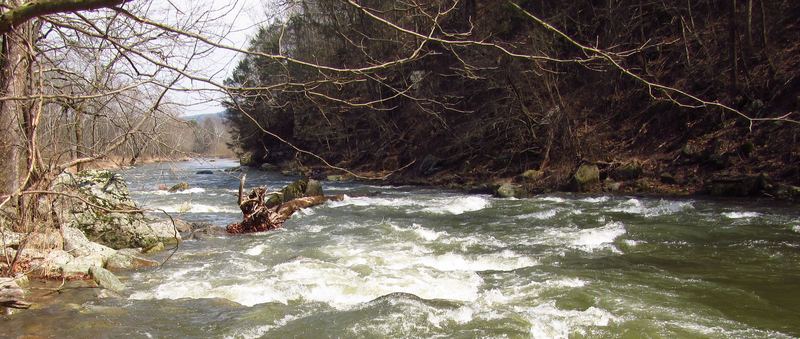
The lower part of Landslide Rapid is very dangerous. There is a log extending 3/4 of the way across the river forcing the paddler to go to far river right. (See photo.) One eddy can easily be caught, but the course down the right side is very rocky pushing the paddler into more rocks. There may be a submerged log on the river right in this channel adding to the difficulty. Paddling through the meat of the rapid is the easy part.