New
11. Sandstone to McCreery

| Difficulty | I-III |
| Length | 15 mi |
| Avg Gradient | 9 fpm |
| Gauge | New River at Thurmond, Wv |
| Flow Rate as of 42 minutes | 4360 cfsmedium runnable |
| Reach Info Last Updated | July 9, 2025 |
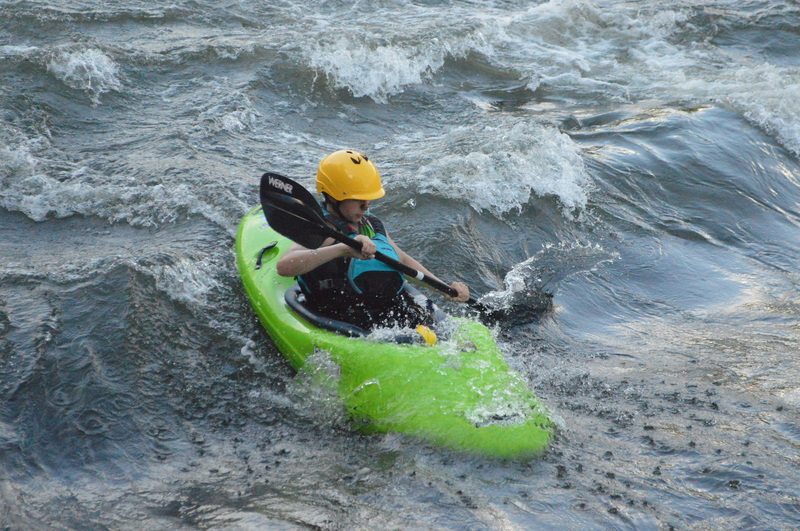
The most popular trip is from Glade Creek to the Grandview Sandbar (4.5 miles) and includes the two longest and biggest rapids of the entire section: Grassy Shoals and Quinnimont Rapids (class III-) as well as several other smaller rapids, and paddling this section greatly simplifies the shuttle. Both of the class III rapids are avoidable for the most part. See the rapid descriptions and access points below.
Additional RF 1 sections include 05050004027,05050004026,05050004025, and 05050004021
NPS Guide to paddling the New River
NPS map of the New & Gauley Rivers
Posted by UncleFuzzy to BoaterTalk:
Meadow Creek to McCreery directions
From I-64, take exit 138 and follow CR-7 to Meadow Creek. To get to McCreery from there, you can go back to I-64, take it to exit 124 (East Beckley). Then go right and the road you are on will join with Business Route 19 (Eisenhower Drive). Take that road to US 41 and turn right on US 41 to go down to McCreery. Another way to get to McCreery from Meadow Creek is to stay on river right. Take CR7-1 from Meadow Creek through Claypool. When you get to Rte 20, turn left and and go a short distance to CR-31. Turn left onto CR-31 and take it to Route 41 (going through Danese on your way). When you get to Route 41, turn left and drive down to the New. Cross the New and you are at McCreery.
Put In - Sandstone, WV, river right. Look for the access sign on Hwy. 20 near the gas station/market. After crossing the railroad tracks, bear left through a narrow passage to get to the access. No parking there, but retrace your route and there is marked river access parking near the market.
Meadow Creek River Access - river right. From the interstate and Sandstone Visitor Center, follow the road north along the river and it will eventually take a curve to the left and the access is straight ahead. There may also be access at the Meadow Creek Campground which you pass on the way to this spot.
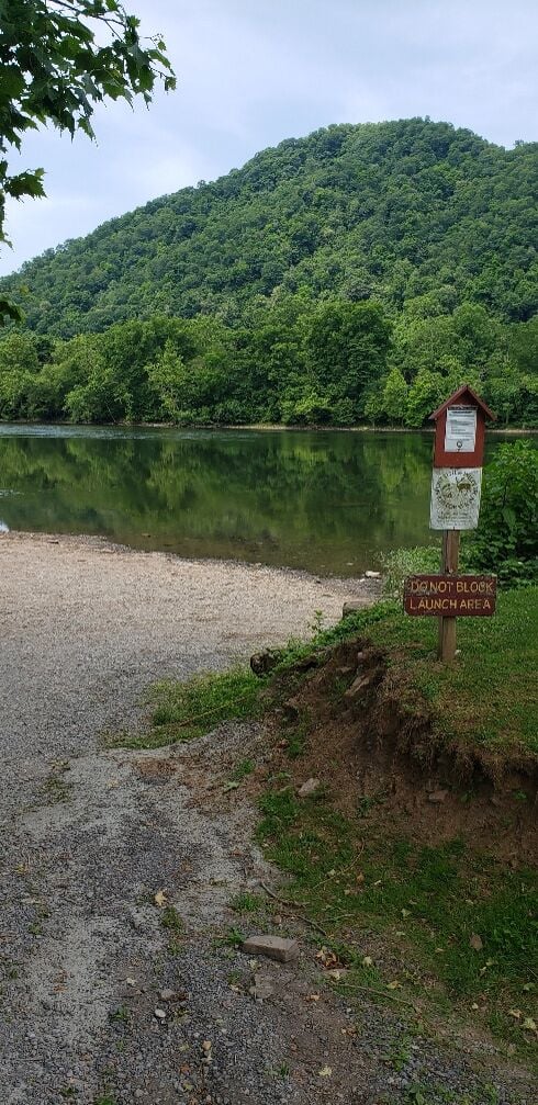
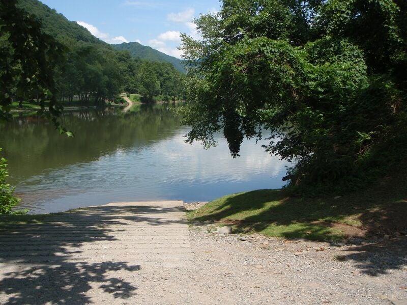
Glade Creek River Access - river left. Most people put in here and paddle down to Grandview Sandbar. Parking, toilet, camping nearby. This is as far upstream as the gravel road from Prince goes. At the Glade Creek trailhead parking area, bear left, and then left again around the campground loop, to go down to the boat ramp.
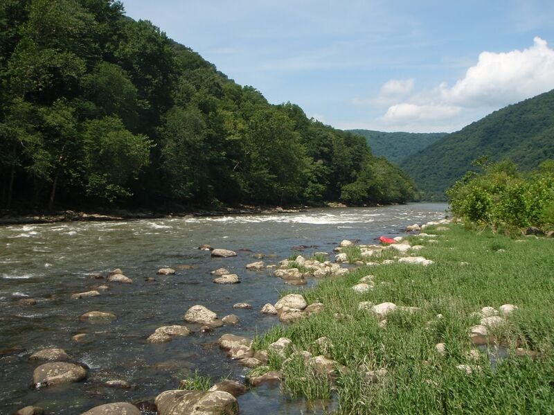
Grassy Shoals Rapids - below the Glade Creek access, there is a long pool, and then Grassy Shoals begins. There's a breaking wave/hole in the center of the river, followed about 50 yards downstream by a wider, ledgier wave/hole. Play is not great since there are few eddies, so any surfing has to be done on the fly. To avoid the waves/holes, stay far right, up against the island.
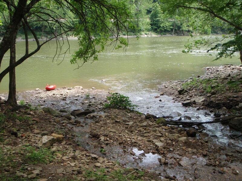
Mill Creek River Access - river left. No facilities, but enough room to leave a vehicle. There's also parking on the main road near the single-lane bridge. Putting in here avoids Grassy Shoals and 2 or 3 smaller rapids. Just upstream of the creek is a large beach area.
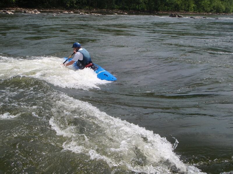
Playspot with good eddy access, and sometimes lunch and swim stop. Look for a large boulder on the far left with a sloping ledge creating a breaking wave.
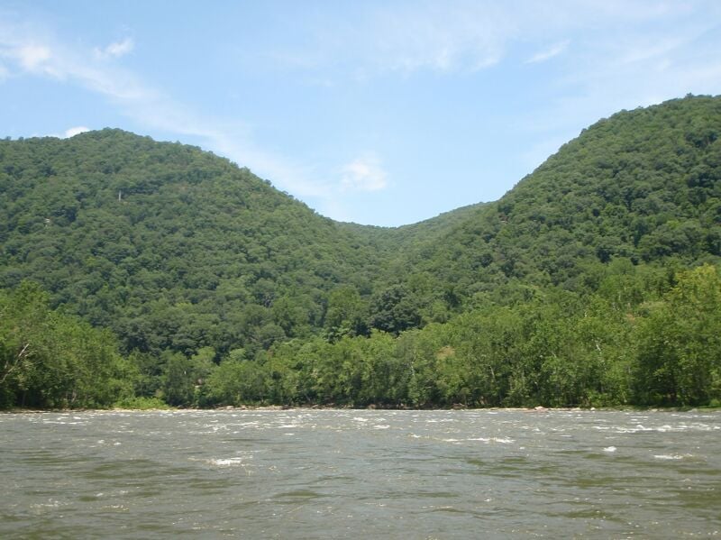
Quinnimont is a long, two-part rapid beginning as a wide cobble bar/wave field, which narrows a bit as it approaches the dogleg to the left. The rapid continues and narrows after the left turn, with more substantial waves and holes in the center/right. There's good park and play in the lower part of the rapid for those who don't mind carrying their boat upstream a bit from the Grandview Sandbar access. To avoid the largest waves, run the upper part on the far right, then as the river bends left, cross the current and run the lower part on the far left. Note that the Grandview Sandbar access is just below this rapid on river left, so in high water a swim/yard sale risks missing the ramp.
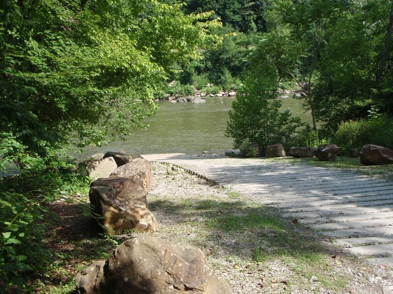
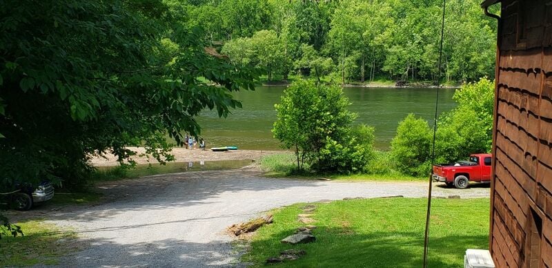
Grandview Sandbar River Access - river left. Parking, bathroom, camping nearby, walk-in camping just downstream of the parking lot.
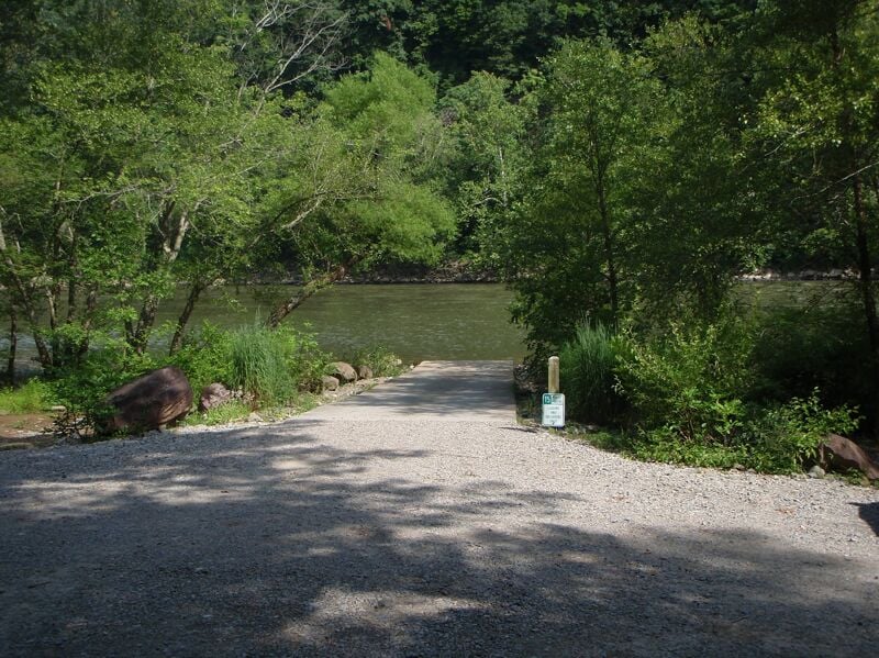
McCreery is mainly used as a put-in for the next section downstream (to Stone Cliff or Thurmond), since below Grandview Sandbar and Prince, the river mainly offers a very long pool/lake with houses alongside (i.e., you have to paddle a lot and the scenery isn't very good). But you can take out here to extend your trip, especially at high water. Boat ramp and porta-potties, but don't park here. Parking is across the highway in the big gravel lot.
Sep 1, 2011
Did the Glade Creek to Grandview section over the summer at 1' on the virtual gauge. The first drop is a pretty good one at that level with fairly large wave trains and pourovers to avoid, a solid class 2, maybe 2+. I was quite surprised something that large was on this part. Slackwater is tolerable and not too long before the next set of shoals or shallow ledges is experienced. One more drop of note is toward the end, again a fairly good sized rapid with the more interesting route being through the center, avoiding pourover rocks on the left. Easier stuff is on the right. Continuing past Grandview to McCreery does not net any interesting rapids and was mainly flatwater at the gauge level.
The dirt shuttle road follows the river the entire way and parking at Glade Creek and Grandview is large but fills quickly on weekends and holidays. As of this summer, parking at McCreery is only allowed across the road, so don't leave your car in the lot off the river or it may be towed according to the sign.