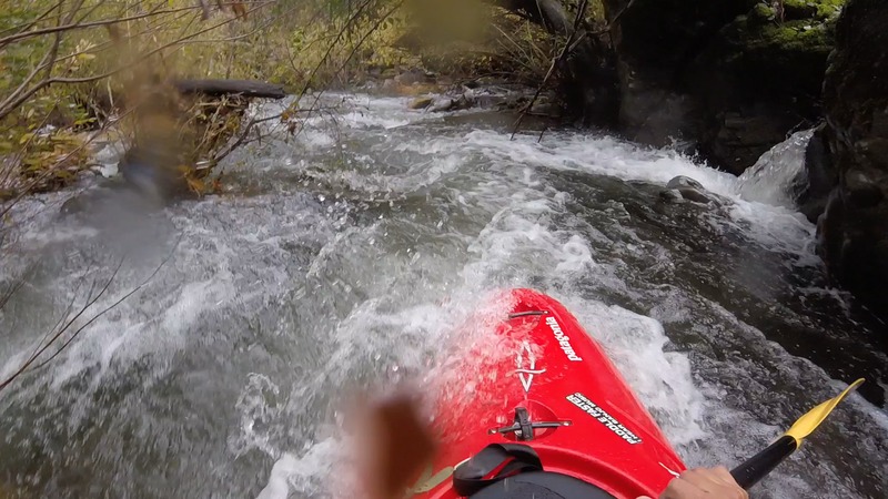
| Difficulty | II-III |
| Length | 22 mi |
| Avg Gradient | n/a |
| Gauge | Mattole R Nr Ettersburg Ca |
| Flow Rate as of 1 hour | 10 cfsbelow recommended |
| Reach Info Last Updated | October 18, 2006 |
River Description
Shelter Cove Road: topozone, Googlemap
Ettersburg: topozone , googlemap
Other Information Sources:
SCHWIND GUIDEBOOK, Ann Dwyer: Canoeing Waters of California, Thomas Harris: Down the Wild River.
CaCreeks.com has a description of the reach.
John Lester has a 1999 trip report with good pictures.
The Mattole Restoration Council has information about the river and the region.
River Features
Put In
Access PointDistance: 0 mi
Take Out
Access PointDistance: 27.2 mi