Middle Fork
3. Audra State Park to Tygart River Confluence
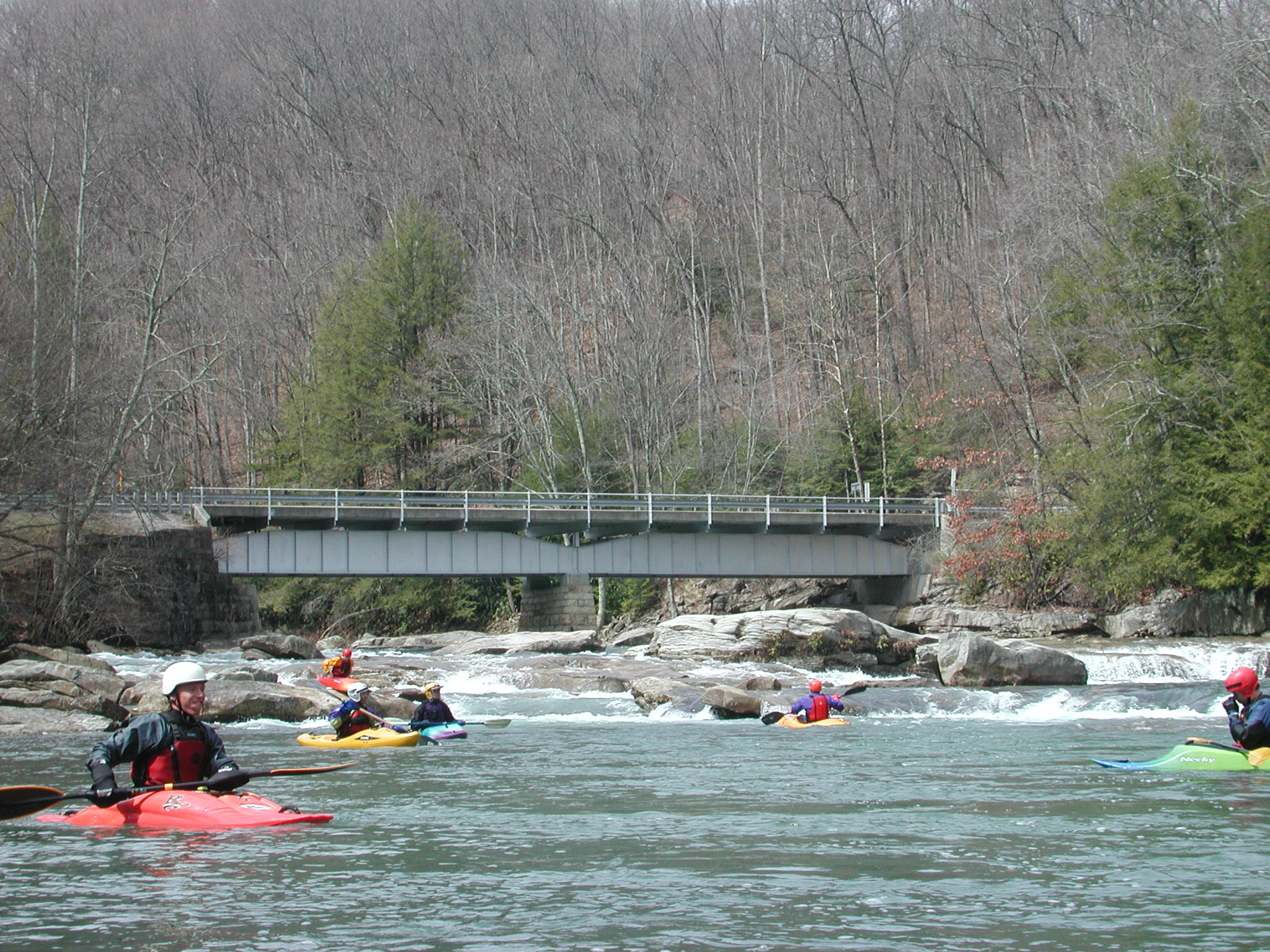
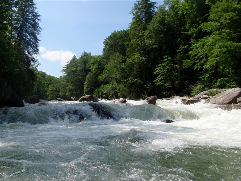
The same rocks are partially submerged at a medium water level. They are the closest rocks to the camera, slightly left of the center of the picture. The water level was 4.2 feet on the Audra gauge.
n/a
n/a
n/a
n/a