Laramie
3- Thunder River Rd. (Wheatland #2) to Tunnel Rd. (Laramie Canyon)
| Difficulty | I-IV |
| Length | 13.6 mi |
| Avg Gradient | 42 fpm |
| Reach Info Last Updated | June 26, 2020 |
So if you have ever wondered how the folks in Wyoming put water in Bluegrass Creek, here is your answer.
They release water from Wheatland #2 (or Wheatland #3 in some situations) and let it flow down the Laramie River to a small lake. The tunnel for Bluegrass leaves that lake. However if you want to use that water for a paddle down the Laramie River instead of Bluegrass Creek you are in luck.
There are some good and bad options for access to this run. The best options are to cross private ranch land if the rqanchers let you. Otherwise you have some flat water at the top of the run..
The takeout is easy to reach. Drive up Tunnel Road from WY 34. Take a left about 5 yards after crossing the first small stream (Laramie River post diversion). Take your next left and then work your way uphill (like your headed to Bluegrass). However once your past the cattle guard go right and drive back down to the lake with the diversion. Drive as far up the lake shore as you can get and leave a car for the takeout.
The put in is a bit of an adventure. Go back to Tunnel Road drive till its ends and go left. Take this road for about 5+ miles and you will see a left immediately after a cattle guard. (If you see signs for Wheatland #3 you went to far). Go left and drive about 3 miles. Thunder River Rd (Laramie River Ranches) is on your left turn here if you go further the road turns private and is posted. Once on Thunder River Rd. you will cross the Laramie River (this is an access point but not a good one). The best option is the keep driving and take both left turns when the road forks. Eventually the road will end on an odd cul-de-sac or turn around in the middle of the sagebrush desert. Hike down to the river from here. The map shows this as state land BTW and you can bypass the fences if you follow them to the right.
There are BETTER access points downstream for both the put in and takeout. These are on private land and you would h
...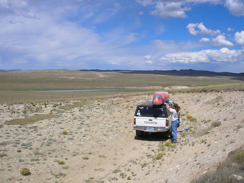
Park at the odd little turn around in the middle of the sagebrush desert on Thunder River Rd.
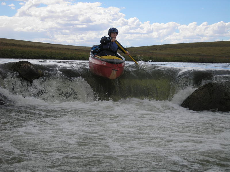
A slightly more difficult weir. This one is still easy to run

A private bridge crosses the river and would be a takeout if you needed it in an ABSOLUTE emergency
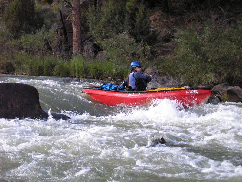
The third weir is the largest but still has an easy line
The final weir is fairly small and straightforward. This is the last of the 'real' flatwater
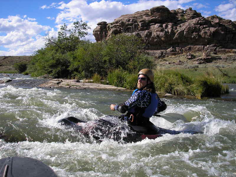
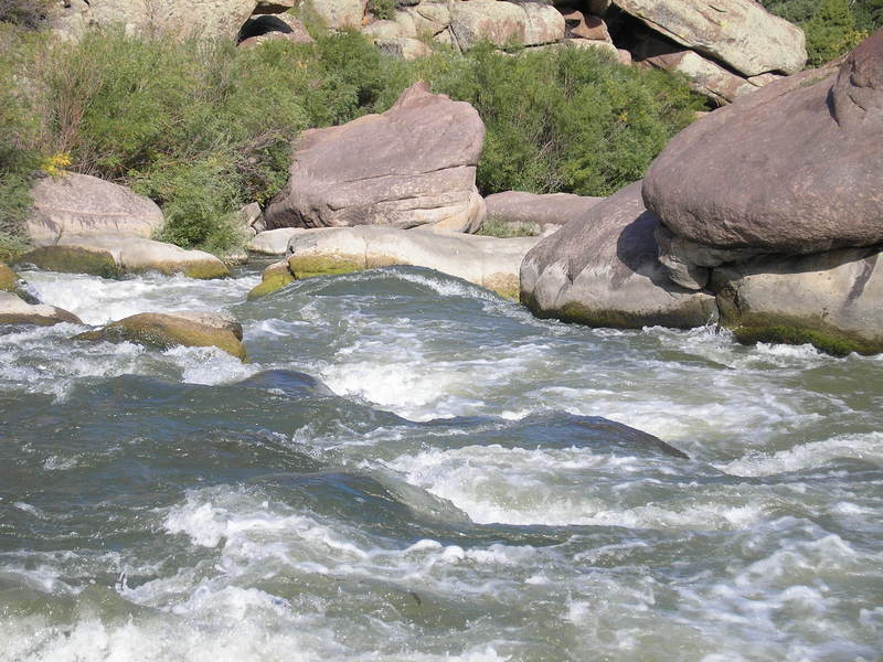
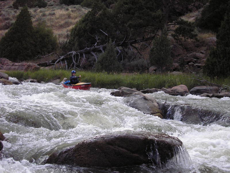
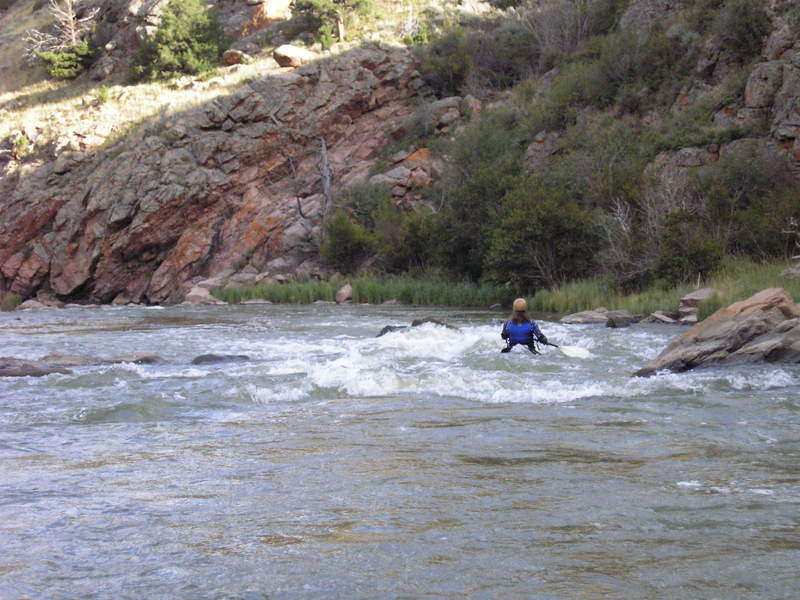
The first canyon on the Laramie is fairly easy class II and III with few hazards.
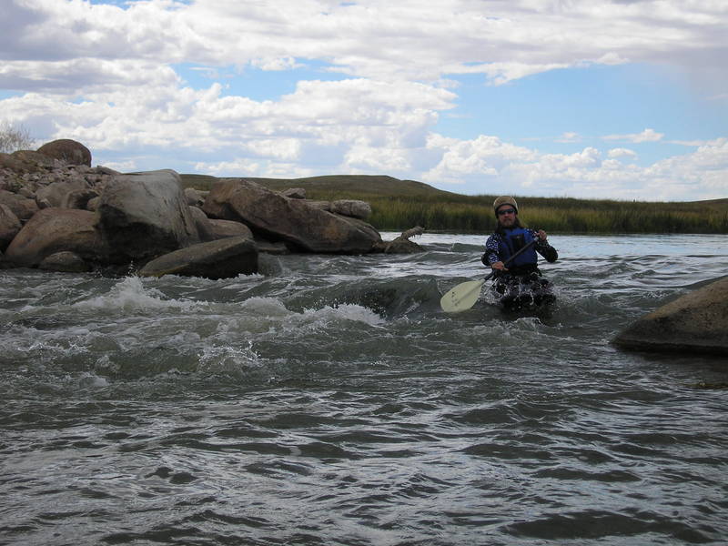
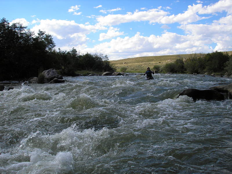
A small class II rapid has a decent surf wave. This is part of the easy class II stuff in the first canyon.
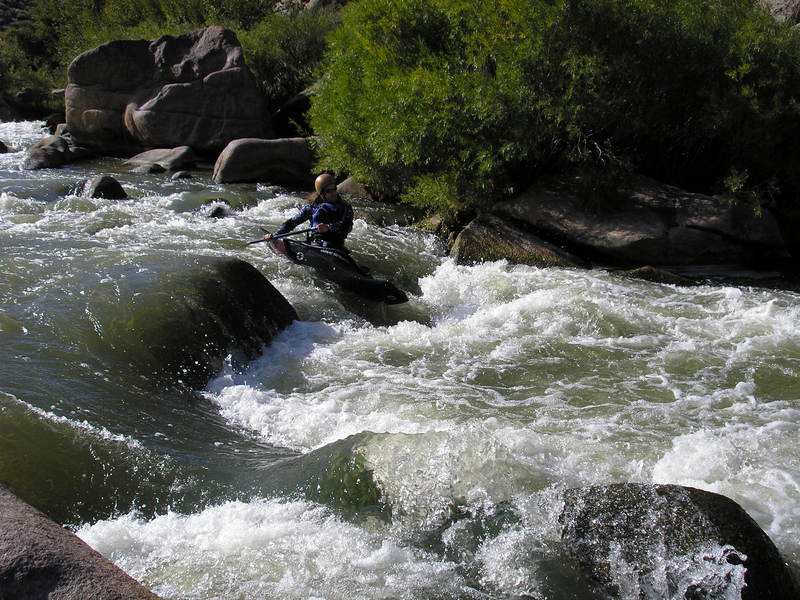
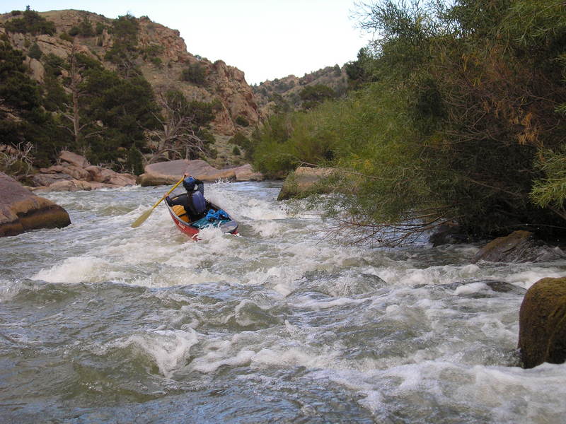
After you pass the surfing rapid you enter the steep canyon (120 ft/mile). It starts out easy but pick up quickly.
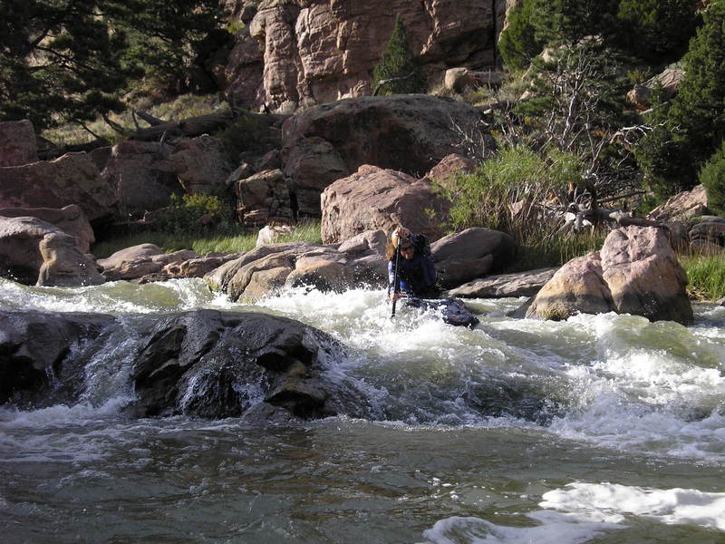
Prime Time starts out the big rapids. The approach to this drop is on a blind left corner. Pay attention to the river as it picks up speed because this rapid could collect logs, pin boats, or beat you down.
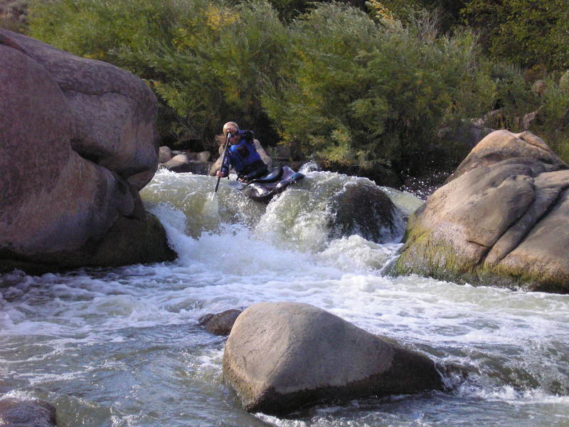
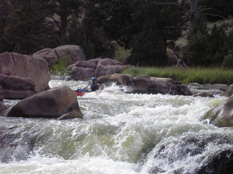
There are two lines in Prime Time. A boof off the right of the pillow or some ledges on the left.
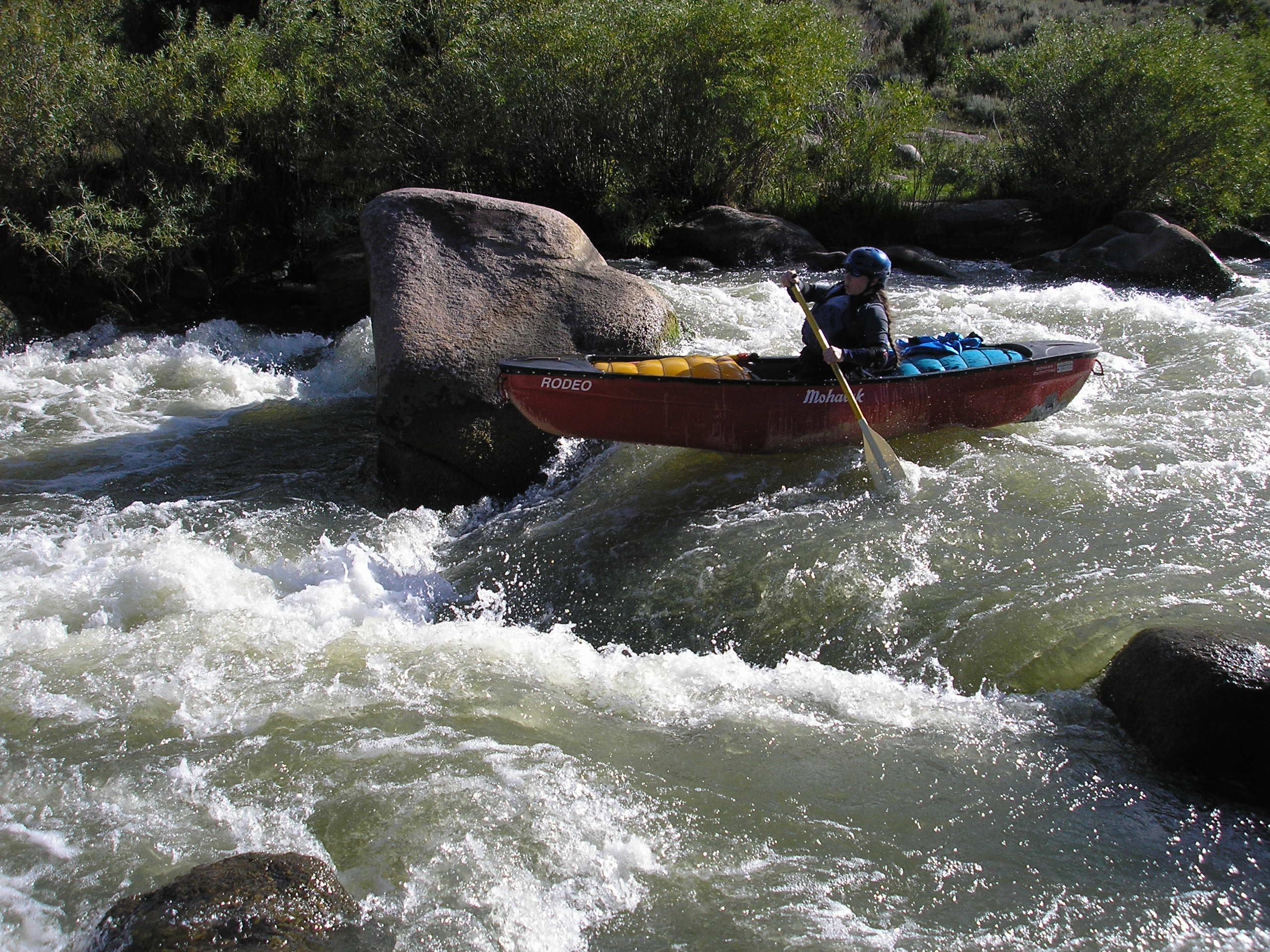
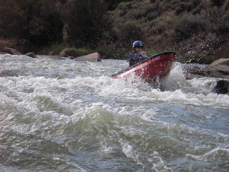
A series of boofs and rock gardens follow Prime Time
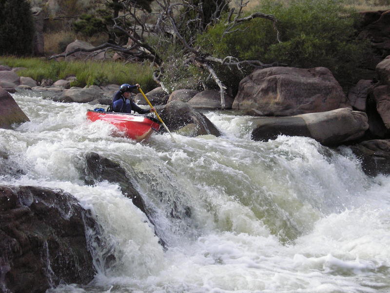
The Laramie has 2 small waterfalls. This is the first one. Scout on river left.
The flume follows below the First falls. This rapid has two parts and leads into the big drop/main event on the Laramie.
After the first part of the Flume eddy out on the left and scout the big drop
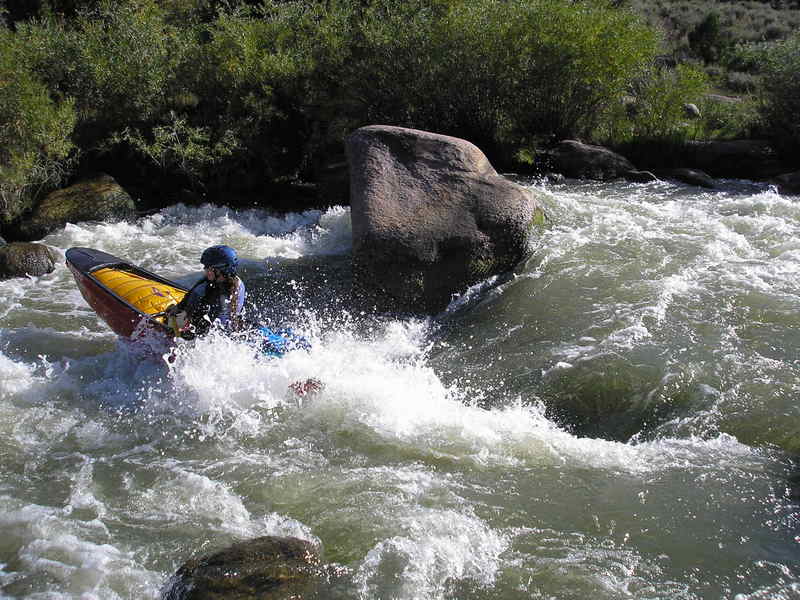
The biggest rapid on the Laramie is a two stage waterfall that starts off with a narrow approch and a big hole. This is followed by a large boulder that splits the flow right above a 8 foot waterfall drop.
I am sure this one has a better name. If you know it let me know or post it.
The second part of the drop is the waterfall/ledge.
After the big drop the river constricts into a tight nozzle and drops though some boulders. The drop is straight forward.
The canyon open up with a final class III- rapid. This one is easy.
A gazebo and outhouse are on river right. You could hike out here but it would be a long hike.
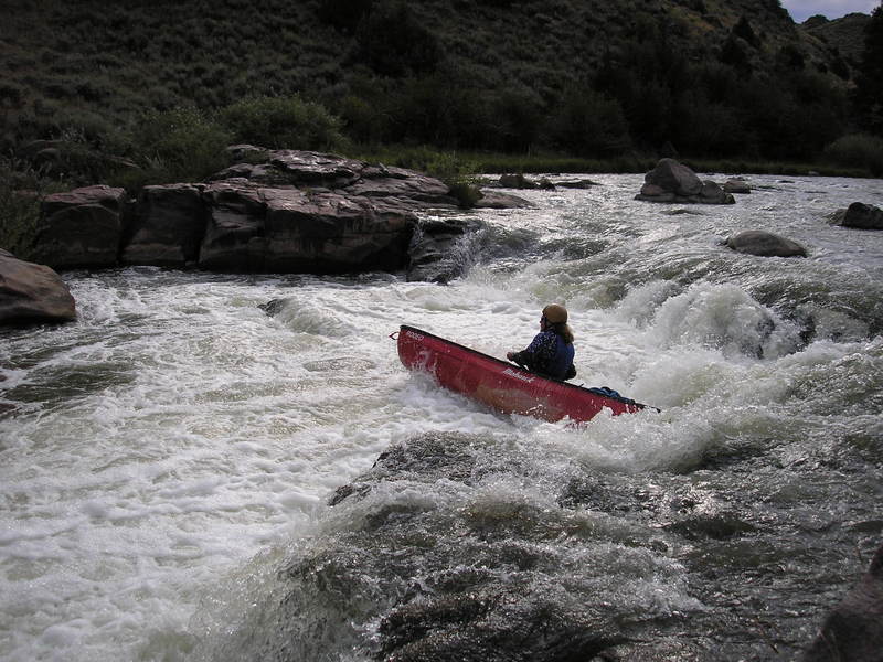
After the steep stuff the river opens up and the paddle out begins. Many of the rapids here are class II with a few easy IIIs.
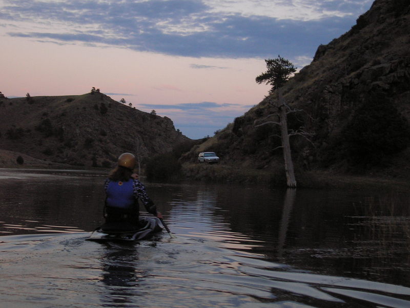
The lake that feeds Bluegrass Creek provides the takout.