Laramie
4- Tunnel Road to Palmer Canyon Road (Lower Laramie Canyon)(Laramigo Canyon)
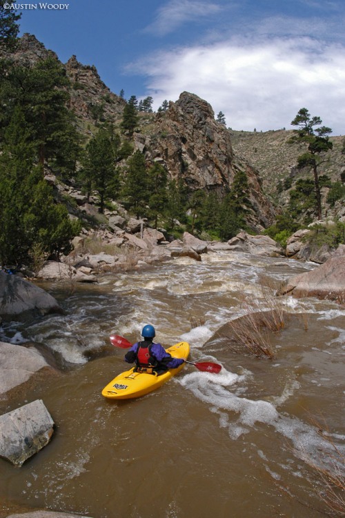
April 4, 2017
| Reporter | Austin Woody |
UPDATED FLOW INFORMATION: The upstream NOAA HADS gauge titled LRTW4, Laramie River Below Wheatland Tunnel, went into error early last season (resulting in a presumable record for lowest ever run.)
The newer, more accurate gauge is located downstream near the mouth of the canyon, it is also a NOAA HADS gauge but it is titled LRDW4, Laramie River Above the Cramer Ditch. This gauge is located downstream of the tributaries of Duck and Cherry Creek, both significant low elevation drainages. So if considering a run, know that if significant low elevation snowmelt is occuring that this LRDW4 gauge may have more water than what the canyon actually does (probably not much more than ~100 cfs.
Here are some rough correlations for the new LRDW4 gauge based on runs last season (2016):
4.66 feet- 678 cfs releasing from Wheatland Res. #2. Fun, lowish medium level. Plenty of water to boof and have fun.
5.47 feet- Highish medium, Prime levels right here. Maximum number of boofs, worth interstate driving for the run at this level for sure. Here's a gopro video from this specific run: https://www.youtube.com/watch?v=NzoPKCe\_toY&t=13s
5.98 feet- 1850 cfs releasing from Wheatland Res. # 2 in addition to spillway overflow. Highest known descent. Super fun, continuous nature. Very much in the Class V range at these levels. Use caution, knowing where some of the portages/sieves are at this level is pretty critical.
Anyone wanting to get in there looking for more info feel free to give me a call, 3 oh 7- 690-zero48zero.
Austin Woody