Wind
Boysen Dam to canyon mouth (Wind River Canyon)
September 6, 2017
| Reporter | Jack Gill |
We scouted this section of the Wind directly downstream of the Boysen Dam on 8/30/2017 but did not have a chance to run it. The cfs discharge from the dam is not published by the USGS, but as of 2017 the cfs discharge is published by the US Bureau of Reclamation which manages the Boysen Dam as part of their 'Hydromet System'. The link to the gauge reading and other statistics (as of Sept 2017) is: :https://www.usbr.gov/gp/hydromet/wrbd.html . On that web page you can then click on the 'Real Time Total Discharge (cfs)' highlighted button(s) to lead you to the cfs page(s) given both in Table form and graph format . As of Sept 2017, the real time cfs page can also be directly reached by the following link:
https://www.usbr.gov/gp-bin/hydromet\_dayplt.pl?wrbd&q .
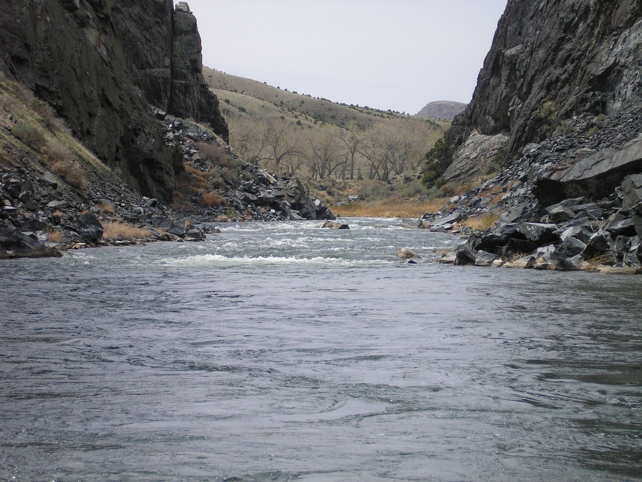
Although we didn't have time to run the river on 8/30/2017, the river and rapids looked like a perfect level to kayak at a gauge reading that day averaging 2200 cfs.
There are State of Wyoming campgrounds at 2 different locations directly on this 12 mile section of whitewater.