Wind
Boysen Dam to canyon mouth (Wind River Canyon)
Apr 22, 2020
The Tribes of the Wind River Indian Reservation do not allow private boating through Wind River Canyon without Tribal Council approval, even with a Reservation fishing license (although fishing from the bank is allowed). Contact Wind River Fish and Game with questions:
(https://www.windriverfishandgame.com/)
Rafting is only allowed on this stretch through guided trips with Wind River Canyon Whitewater (WRCW) located in Thermopolis, WY. Safety kayaking for WRCW or obtaining permission from the Tribes is the only way to paddle this stretch via kayak. The two legal stretches of the Wind River below Boysen Reservoir are from just below Boysen Dam to the Lower Wind River Campground within the State Park (1.5 miles of river), or below 'Wedding of the Waters,' at the mouth of the canyon, through Thermopolis to several different take out locations. These stretches are mostly flat water, but some hazards exist, like strainers and bridge pylons, that warrant some experience, particularly at higher flows.
The proper gauge for Wind River Canyon is through the U.S. Bureau of Reclamation, Hydromet or reservoir data pages.
Hydromet:
(https://www.usbr.gov/gp/hydromet/wrbd.html)
Reservoir:
(https://www.usbr.gov/gp-bin/arcweb\_boyr.pl)
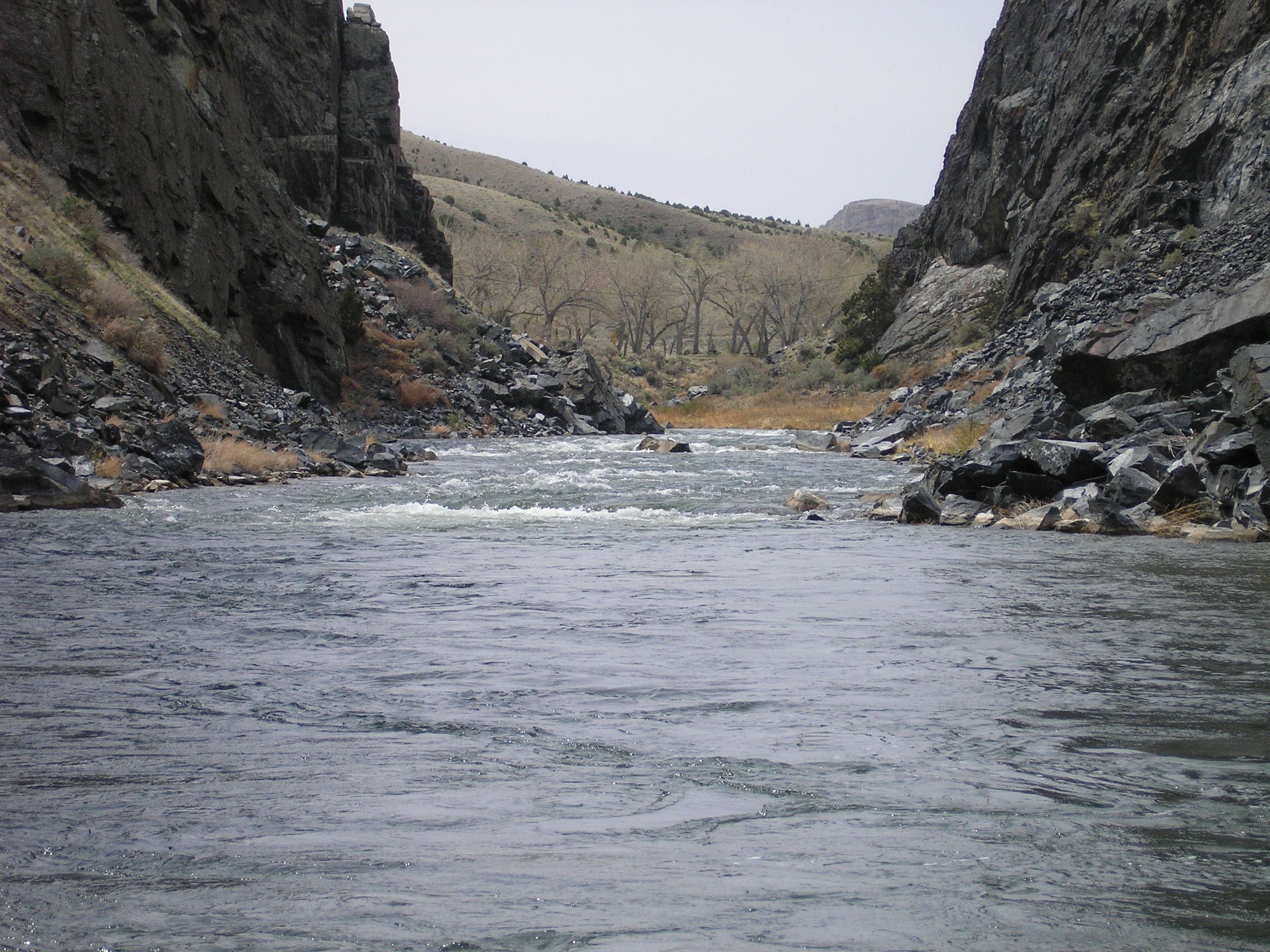
Sep 6, 2017
We scouted this section of the Wind directly downstream of the Boysen Dam on 8/30/2017 but did not have a chance to run it. The cfs discharge from the dam is not published by the USGS, but as of 2017 the cfs discharge is published by the US Bureau of Reclamation which manages the Boysen Dam as part of their 'Hydromet System'. The link to the gauge reading and other statistics (as of Sept 2017) is: :https://www.usbr.gov/gp/hydromet/wrbd.html . On that web page you can then click on the 'Real Time Total Discharge (cfs)' highlighted button(s) to lead you to the cfs page(s) given both in Table form and graph format . As of Sept 2017, the real time cfs page can also be directly reached by the following link:
https://www.usbr.gov/gp-bin/hydromet\_dayplt.pl?wrbd&q .
Although we didn't have time to run the river on 8/30/2017, the river and rapids looked like a perfect level to kayak at a gauge reading that day averaging 2200 cfs.
There are State of Wyoming campgrounds at 2 different locations directly on this 12 mile section of whitewater.