Beaver
B) Co.Rd.3/Airport Rd. to Glen Avon Falls (2.85 miles)

| Difficulty | II-III(V) |
| Length | 2.7 mi |
| Avg Gradient | 42 fpm |
| Reach Info Last Updated | May 9, 2023 |
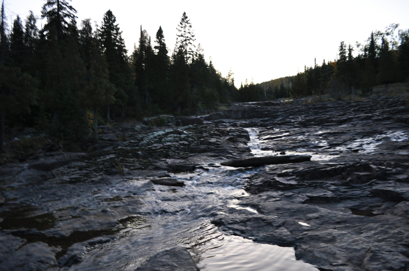
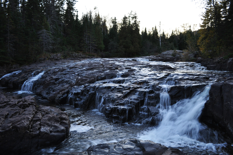
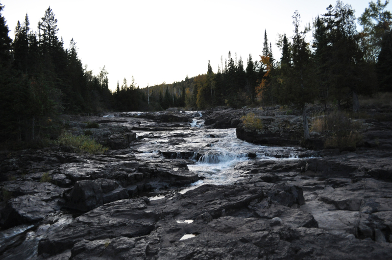
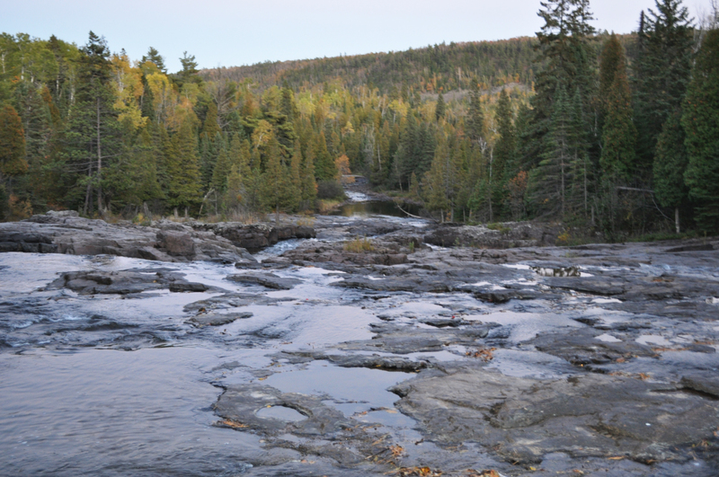
Most of this reach is a flatwater and easy-rapids paddle, with intermittent (nearly continuous) light-grade rapids. The major exception is Glen Avon Falls. Here, the bottom drops out, as the river encounters a steep sliding bedrock rapids/falls. At favorable levels, this could provide an interesting 'hair boater' park-and-pray (er, I mean play) spot! We're not talking rodeo boater territory here, but rather 'steep creek, big gradient'-folks funland. Not quite the stuff commercial videos are made from, and yet not far from it (for most boater's tastes). While you could continue your trip downstream, there is little of interest in the next two miles until the next listed section (after the confluence with the East Branch), so we prefer/advise carrying back up to your vehicle in the parking area for this falls.
Clikck this link to check out a video of Glen Avon Falls, Low-water run

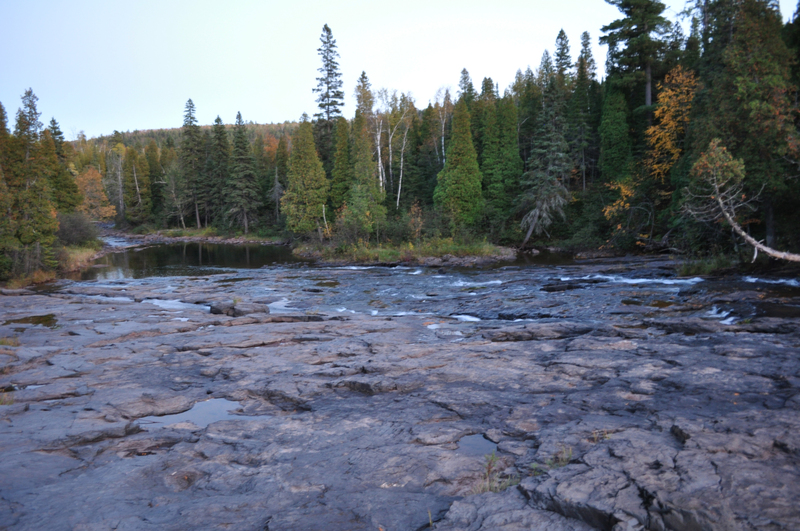
The West Branch Beaver river comes in from river-right. (This might be almost unnoticed, since it comes in at a wide spot in a marshy backwater.)
At this point, the combined drainage area is about 40 square miles (to the best I can do using online planimeter and topomaps).
After over a half-mile of flat/flowing water, some light rapids start to appear. These build into a nice sequence at about the 3/4ths mile mark as they encounter a bit of bedrock.
An awesome steep slide, sitting nearly roadside, is worth the drive to see. If it has enough water, and it trips your trigger, go for it as a 'park-and-huck'. With enough water, there are various possible routes, but (reportedly) there are a few bad piton spots to avoid (if you can).
Downstream of the falls, much milder gradient continues just a bit before petering out altogether into meanders for the next two miles to CR4/Lax Lake Road and (just beyond it) the confluence with the East Branch, and the start of our final listed section. Thus, as stated in the main write-up, while you could continue your trip downstream, there is little of interest in the next two miles until the next listed section (after the confluence with the East Branch), so most will carry back up to vehicles at the parking area for this falls.
Oct 11, 2011
This is the middle of the falls looking UP river. Low water.