Blue
Hwy 7 to Cheadle Falls near Wapanucka (9.5 miles)
May 16, 2006
| Reporter | Steve Isenburg |
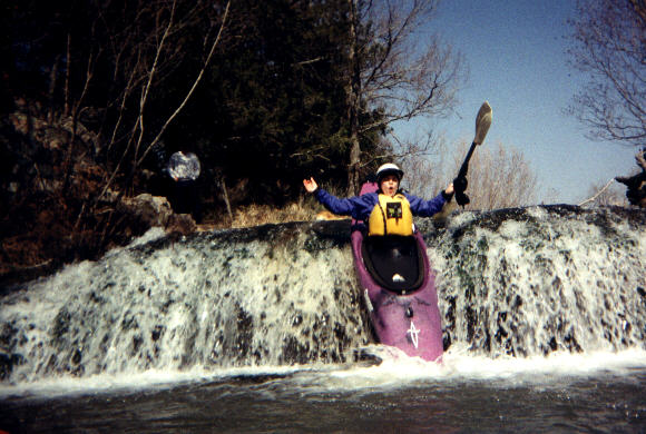
On 5/7/06, a group of 4 paddlers ran this section - here's our feedback...
In Short: When this is running, there's other stuff running. Go run that.
Also - one of the boaters swallowed some water and had severe intestinal problems requiring a visit to the doctor.
1. GAUGE INNACURACY. If anyone knows the streamkeeper, it would be great if they'd change the minimum flow of 350 cfs. The gauge linked to this section is 5 to 10 miles down river **from the 9.5 mile Hwy 7 to Cheadle Rd takeout**. Thus, the CFS ratings you're getting are maybe an hour or so old AND you might be missing some tributaries.
2. KNUCKLE DRAG. We put on at about 1pm on 5/7/06 and knuckled it all the way down. This is just past an almost 2000 cfs peak on the linked gauge. Maybe we floated two or three drops and the pools in between. Here's the USGS data for that day using the linked gauge:
http://waterdata.usgs.gov/nwis/dv?cb\_00060=on&format=gif\_default&begin\_date=2006-05-06&end\_date=2006-05-08&site\_no=07332500&referred\_module=sw
3. CHANNELIZED. The biggest reason why you knuckle this run is the amount of islands and channels in the river. At good flows (see below) you'd be looking at almost no eddy service above the drops and thus high chances of splitting up the group. The islands are overgrown with trees and shrubbery.
EDUCATED GUESS SUGGESTED MIN ON THE LINKED GAUGE: 1700 CFS
If you're local, you might be able to paddle a very short section by walking up from the river right WMA camp ground that marks the 3.5 mile from Hwy 7 section.
Oklahoma has some hidden runs, we're gonna continue looking.