Blue
Hwy 7 to Cheadle Falls near Wapanucka (9.5 miles)
November 4, 2019
| Reporter | Ryan Grauer |
The gauge used for this run should be the one near Connerville, though runnable numbers are different: https://waterdata.usgs.gov/ok/nwis/uv/?site\_no=07332390&PARAmeter\_cd=00065,00060
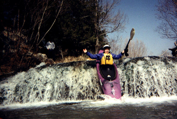
We ran this section last week at 1250 cfs (on the gauge above), flood stage. It was a blast, with typical flood obstacles.
The gauge down river currently used for this run spiked to 3500 cfs +/- a while later, so I assume this is how levels could somewhat be compaired.
Fun run!