| Difficulty | I-II |
| Length | 4 mi |
| Avg Gradient | n/a |
| Permit | Self registration permits are available at the 28 take out or the campground at the putin. |
| Gauge | Chattooga River Near Clayton, Ga |
| Flow Rate as of 1 hour | 1.54 ftbelow recommended |
| Reach Info Last Updated | May 5, 2021 |
River Description
This section is technically known as Section 1 of the Chattooga by the Forest Service. Most boaters refer to this section as the West Fork and refer to the Section of the East Fork of the Chattooga as Sections 1, 0, and 00.
The putin is below the Overflow Road Bridge and the takeout is the Highway 28 Access (putin for Section 2) on the main stem of the Chattooga about 1 mile below the confluence on river left.
Alternative putins depending on water level are the campground and Warwoman Bridge.
River Features
Put In
Access PointDistance: 0 mi
Take Out
Access PointDistance: 5 mi
Trip Reports
Log in to add a reportTA
Terri Abbott
Nov 7, 2019
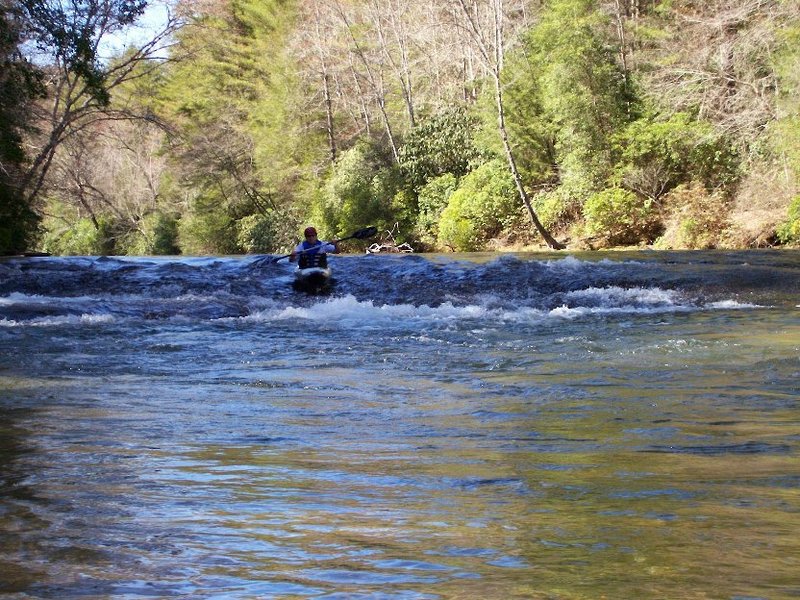
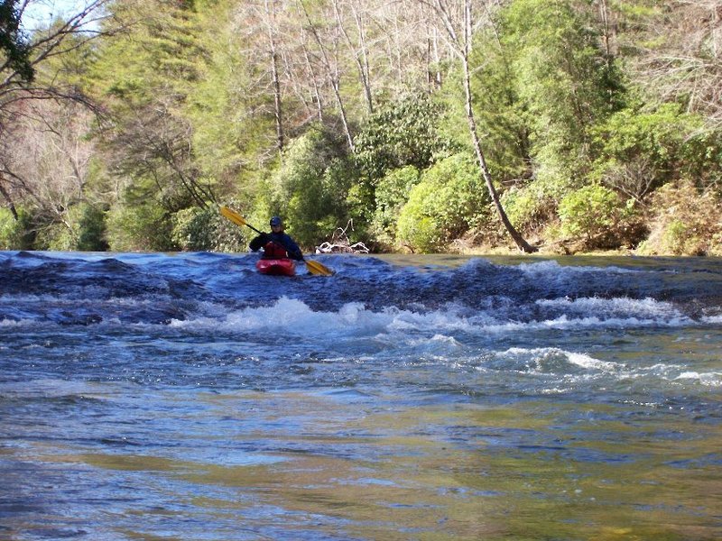
Allyson Davis and I set out on 11.02.2019. Sunny, mid 60's and water level of 2.2 made for a nice leisurely paddle with only a few rapids. Easily seen river wide tree down below Campground put in, so we put in below it at OverFlow Bridge, and took trail to the right off the tiny parking area. Very short trail compared to normal Chattooga 1/4 mile trails.