Slate
C) 'Lower Slate': Silver Road to Skanee Road (3.1 miles)
| Difficulty | III-IV(V) |
| Length | 2.4 mi |
| Avg Gradient | 117 fpm |
| Gauge | Slate at Take-out |
| Flow Rate as of 25 minutes | 43 cfsbelow recommended |
| Reach Info Last Updated | December 19, 2024 |
This run, coupled with the upper Slate, is considered by some boaters to be some of the U.P.'s finest spring boating. It has excellent back-woods scenery, a real small creek feel, and a bunch of great drops.
This section can be combined with the upper, but be advised that two miles of river between our listed take-out for upper and the gravel road (put-in for this lower reach) has no real rapids, and is likely to contain many snags which may require limbos, log-boofs, and portages to get under, over, or around. It's a tough call whether its more hassle to 'double-shuttle' or suffer the flatwater and snags to combine the sections. It should be noted that the lower reach also contains a significant flat stretch with an even worse problem of deadfall than the upper reach. On some occasions, we've had to walk as much as a quarter-mile before finding the river passable again. In spite of this, most who have boated the reach will put up with this, for the incredible experience which this run has to offer for an experienced team of boaters.
This lower run is completely different in character, and a serious notch up in difficulty and potential consequence, compared to the upper. The majority of the drops are ledges and slides. Many verticals land in shallow pools, making a good 'boof' mandatory. Transverse splines of rock often divert water (and boaters) diagonally across the river. The river twists and turns in an ever deeper canyon, often making scouting or portaging difficult to impossible. In particular, the walls around the final drop (Slate River Falls) are quite steep, and as water levels rise, there will be precious few eddies before the falls.
It is strongly advised that all boaters (before putting on the river) hike a trail up the river-right ridge (from the parking area at Skanee Road) to have a look at Slate Falls and its approach to:
(a) make sure it is clear of logs and snags (logs w
...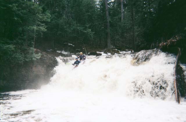
Land a good boof into this shallow pool. (Fortunately, the shape of the lip almost makes it automatic.)
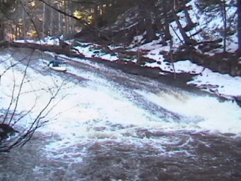
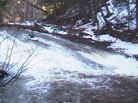
Immediately after a sharp left turn, the river slides down a smooth sheet of rock. Near the bottom of the slide, both sides drop off sharply, while the middle keeps the smooth slide. (Most folks try their best to aim down the middle!)
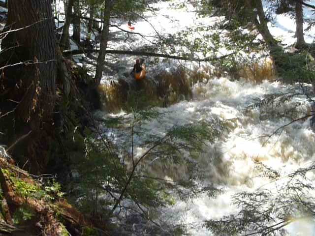
Just around the bend from the Slide Falls, a fine straightaway of ledges begins, dropping you deeper and deeper into the canyon. If you are not running Slate River Falls (or if it is unrunnable because of wood or ?), you have to decide how far down this staircase to go, as you will have to climb back up to the rim trail to hike out. Otherwise . . . enjoy!
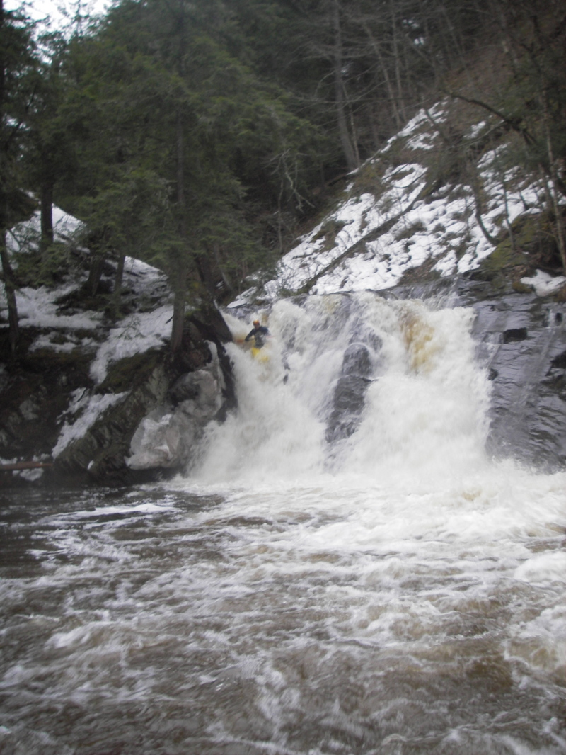
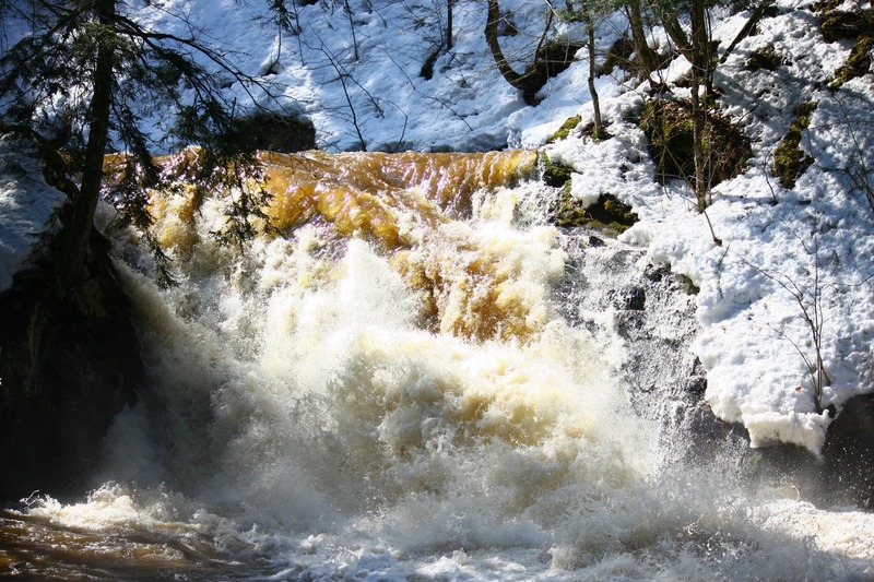
It is STRONGLY RECOMMENDED to scout Slate Falls before putting on this run. For years, huge trees blocked any chance to run the falls. Those have cleared, but others could flush in at any time (after high-water events).
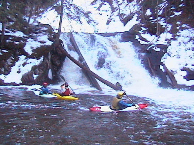
Running the wonderful sequence of ledge-drops leading into the falls takes you into a deep gorge. At low-to-moderate flows, it is possible to paddle nearly to the lip of the falls and beach a boat to scout and/or take photos/video of your group running the drop. At moderate-to-higher flows there may be few eddies, and (since the final approach to the falls has steep banks) getting out of the river will be difficult. Portage around the falls is difficult (ropes are recommended). Exit from this gorge is a strenuous climb up a high steep bank. Thus, if you are not interested (or able) to run the falls, it may be wiser to forego the entire sequence, getting out where the river takes a sharp right-hand bend and begins it's ledgey descent. A quite reasonable trail from there will take you to the top of the ridge for the hike out.

USGS lists a site at Skanee Road showing drainage at that point as 18.3 square miles.
Apr 26, 2022
I hiked up the trail from the bottom on the evening of 4-23-2022 and saw a log all the way across the bottom of Smooth Creamy Thigh, making that rapid unrunnable. It's also difficult to portage because of steep banks.
Oct 25, 2014
We looked at the Slate take out, it was definitely running on the 18th, the plants in the woods were washed over. For future reference.
It looks like the watershed got about .7' of rain???
Dec 2, 2013
Taken about 2 hours before we put on. The level came up at least a foot! Expect some down time at this level! takes you deep!!!! most of our group spit out river left after plugging right line. The eddy feeding in pulls the undercurrent to the left of the falls. Higher the level, the better!!!