Sturgeon (Baraga)
C) Sturgeon Canyon: Hwy.41 to Upper Falls (0.75 miles)
| Difficulty | IV-V |
| Length | 0.73 mi |
| Avg Gradient | 150 fpm |
| Gauge | Sturgeon River Near Sidnaw, Mi |
| Flow Rate as of 55 minutes | 57 cfsbelow recommended |
| Reach Info Last Updated | April 4, 2022 |
Put-in is via a roadside park on Hwy.41.
Take-out is after Upper Falls (the final drop as you leave the canyon). Carry back up.
The gauge provides fairly accurate read of runnable flows.

This video gives a pretty fair helment-cam sampling of the run at a very fine runnable flow.
Action starts pretty mild (from put-in next to the Hwy.41 bridge). As you round a left-hand bend, things quickly build, with a couple fairly aggressive (at good flows) waves and holes. Some could be nearly full-out freesyle havens, but for what lies so near downstream.

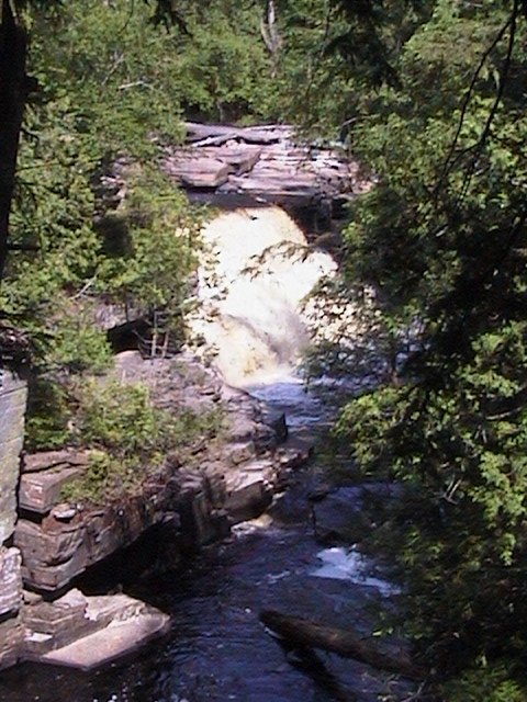
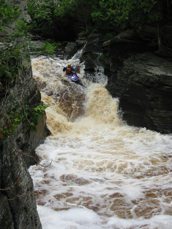
For those with the skills and interest, and with the right flows, this is a fairly simple (though impressive-looking) drop, which puts you into the heart of the canyon.
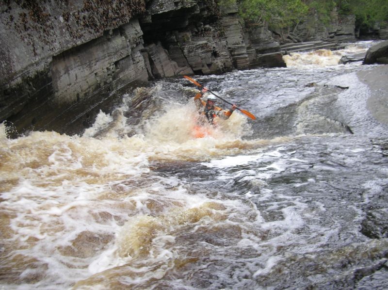
The heart of the canyon contains a great series of drops, slides, and holes. We will not attempt to detail them here . . . you really need to hike/scout the whole sequence before putting on, to be aware of what you are getting into. Suffice it to say the action can be intense, and is made all the more so by being in a vertical-walled canyon. While it is possible to set safety at various points, it is not always easy to be where you need or would like to be.
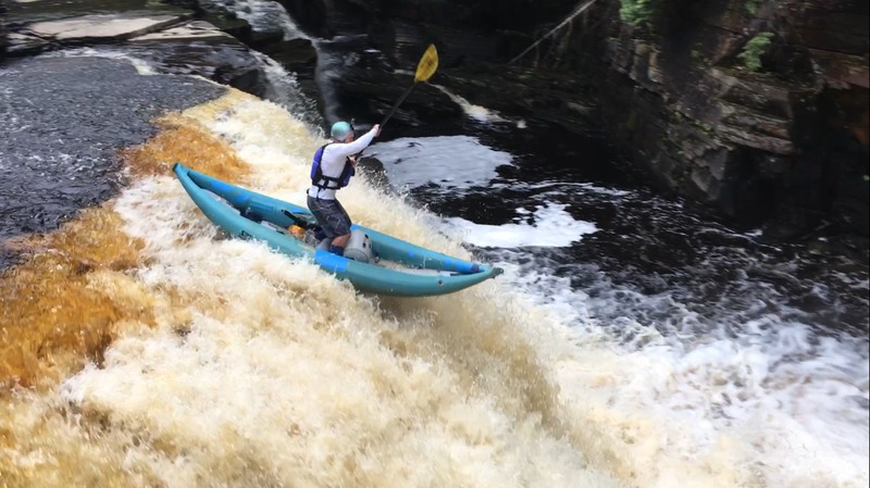
While this drop (and the boiling pool below) look menacing, people have gone over with no momentum (backwards even!) and been 'spit out' just fine. Pay particular attention to the diagonal wave/hole in the lead-in, as it tends to be more problematic, putting you off your mark for this drop. Strongly recommend diving/driving/punching forward (so as not to present too much body-surface to the hole) so that you punch through rather than have your upright-body stop all momentum through the hole. (Or not!?)
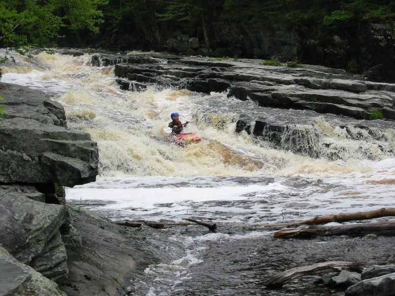
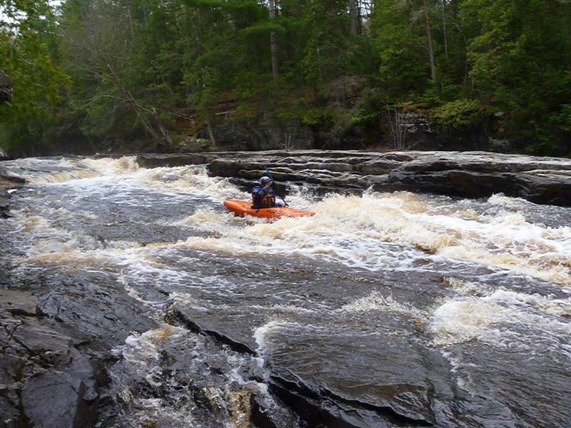
Generally run to the right on a sweet bedrock slide (with a few interesting diagonal waves and holes thrown in for interest).
Take out immediately after running this and carry back up to your vehicle (or to re-run the reach)!
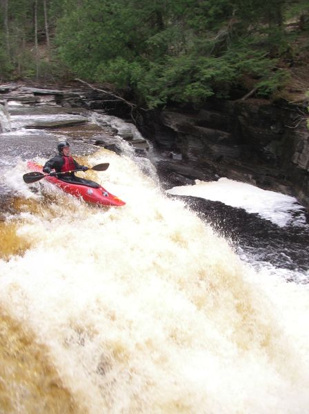
Apr 21, 2005
Mike Dziobak runs No Name Falls at high water (470 cfs).