Carp (Marquette)
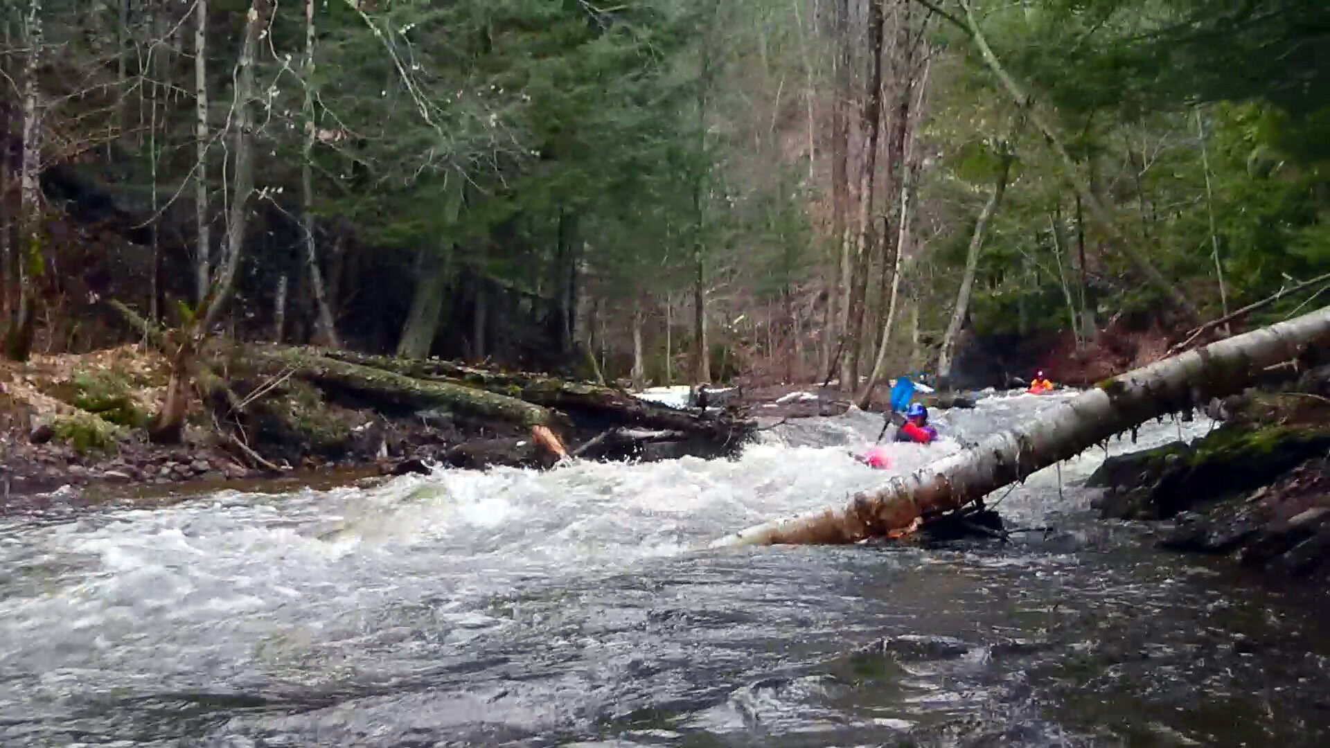
C) 'Lower': CR553 (Marquette Mtn.) to Hwy.41 (2.0 miles)
A wider-angle and downstream view of the damage done to the road and culvert (near the ski area outside of Marquette, MI) in the unusual high water flooding of a couple weeks prior.
Rob Smage
Flood Damage
n/a
Take-out section 1, Put-in section 2 (approximate midpoint of full run)