Carp (Marquette)
C) 'Lower': CR553 (Marquette Mtn.) to Hwy.41 (2.0 miles)
April 28, 2002
| Reporter | Rob Smage |
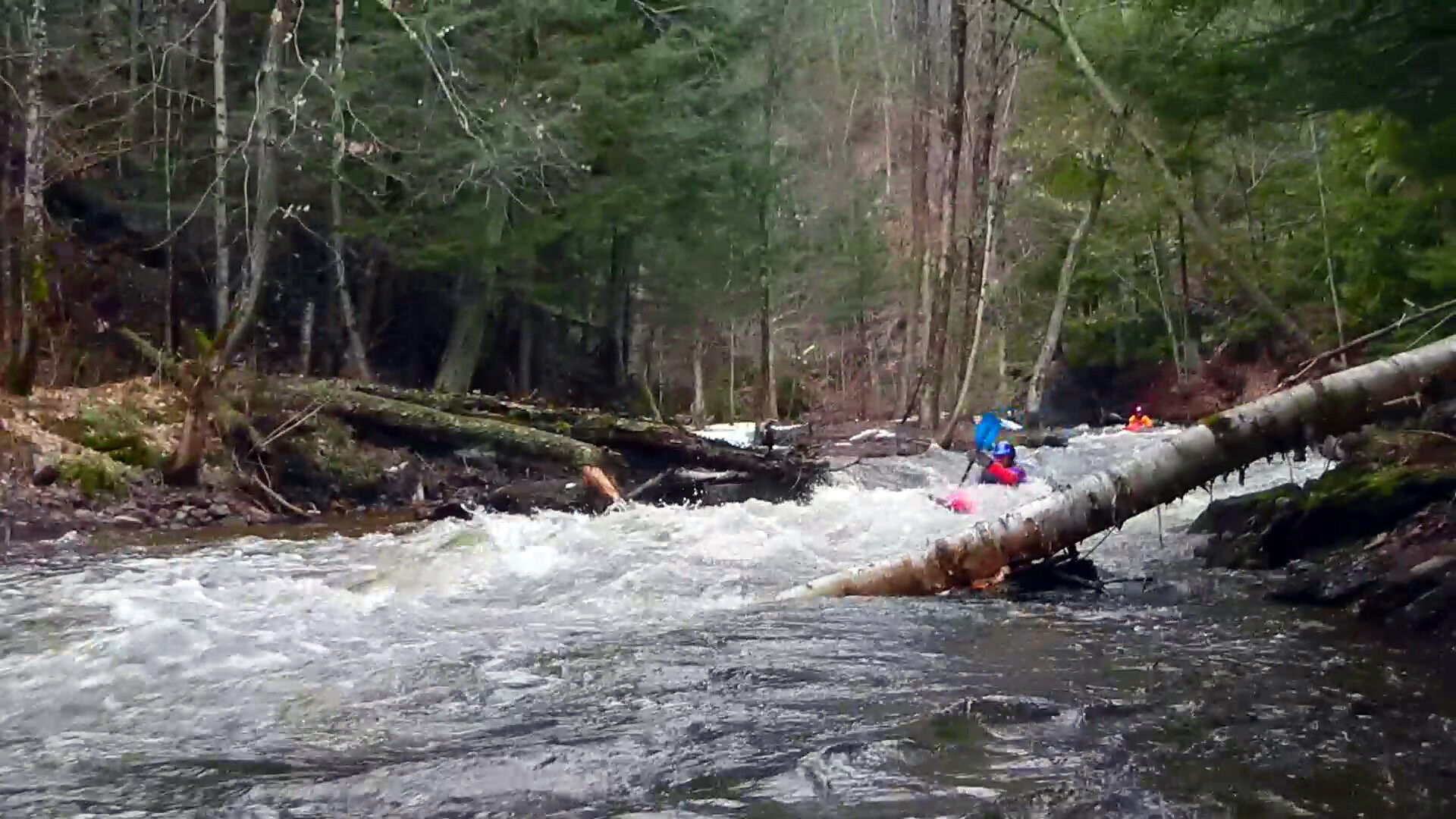
Massive flooding a few weeks earlier washed out the road (near the ski area) and bent up the ends of the culvert. It was awesome to see the results of the force of the unusual flows in this reach.
A wider-angle and downstream view of the damage done to the road and culvert (near the ski area outside of Marquette, MI) in the unusual high water flooding of a couple weeks prior.