Root
B) Horlick Dam to Quarry Park (0.2 - 0.6 mile)
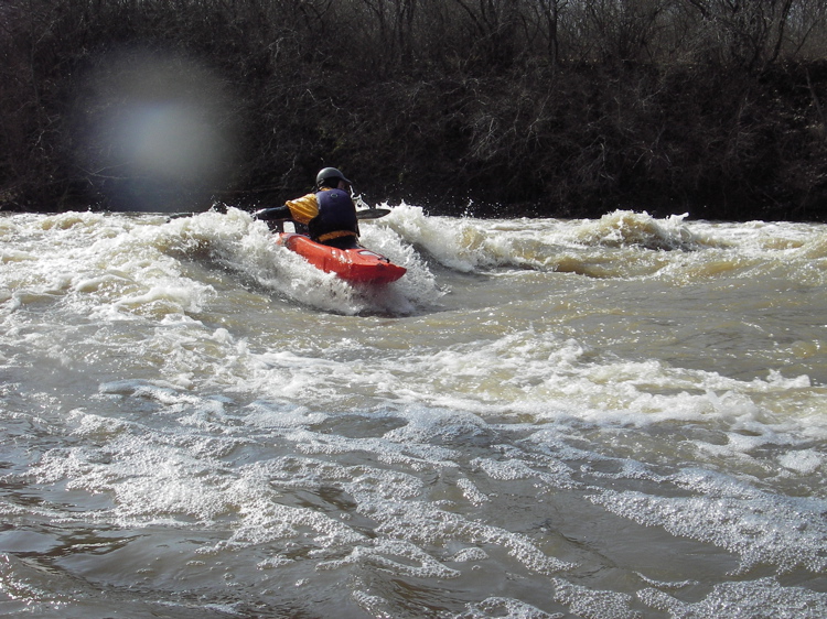
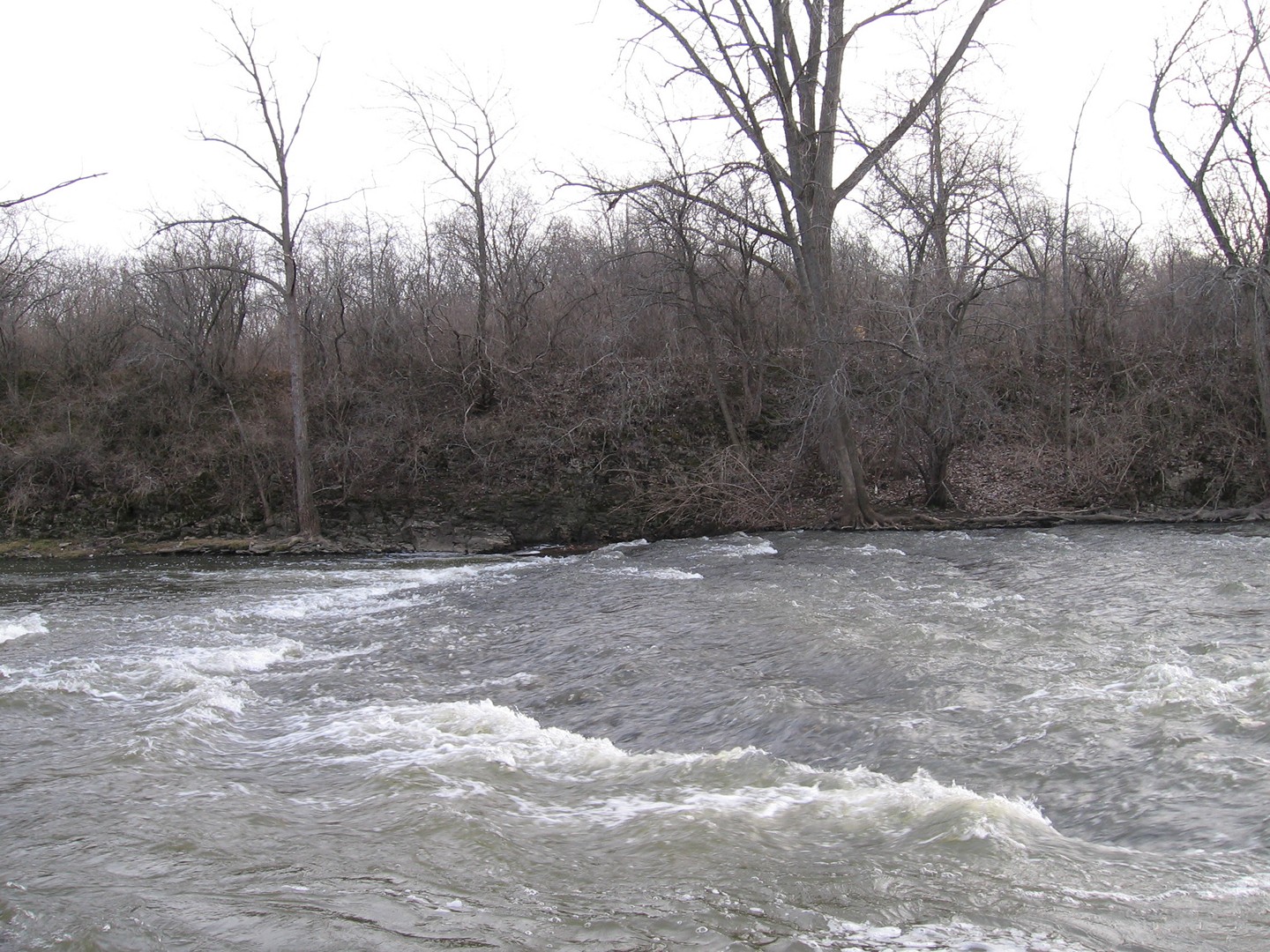
In this cross-river view, you can see the sloping bedrock which forms the nearly river-wide "Lower Pipeline". In the extreme bottom of photo is the river-left 'staging eddy'. Diagonally from bottom-right to center frame is the shoulder-wave which is used to catch the center wave as flows go into the 1200+ cfs range. At flows under that, slackwater mid-river downstream of the wave allows experienced paddlers to 'park' midstream to stage for paddling up and over the back of the wave to get sweet surfs, spins, and blasts.
Rob Smage
n/a