Root
B) Horlick Dam to Quarry Park (0.2 - 0.6 mile)
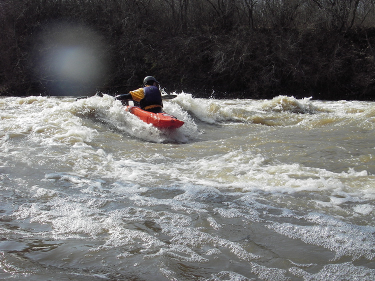
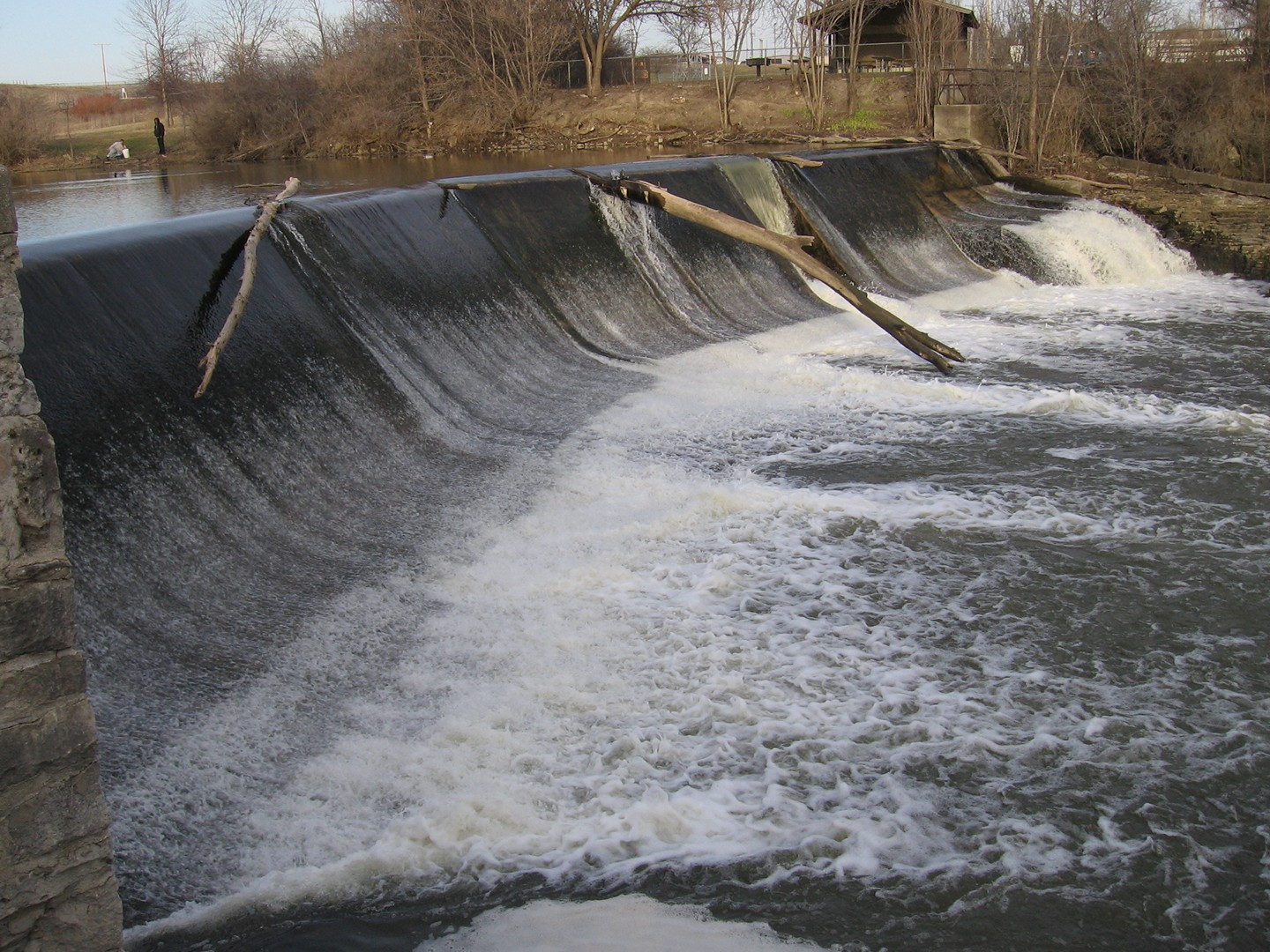
Low-water view of Horlick Dam (with logs/trees which occasionally 'decorate' it -- they either flush out on their own at higher flows, or periodically crews come out with heavy equipment on shore and clear large debris). You may be able to perceive that there are two 'wings' of the dam forming a slight 'V' shape across the width of the river.The entire river-left (background) flank is NOT advised to be run, as it forms a bit of a hydraulic at best (runnable) flows. The river-right (foreground) flank can be run almost anywhere. At some flows, water spews up sharply at the base of the dam, looking as though it must be encountering shallow rocks or upturned cement, causing some boaters to have concerns about possible piton potential. As you can see from this low-water photo, there are no obstructions. The water sheeting off the face of the dam merely hits DEEP water at the base (of the right half of the right flank) and splashes up dramatically!
Rob Smage
n/a