Trip Reports
Log in to add a reportTH
2 inches of rain - Tyler Hicks
Mar 25, 2023
After 2 inches of rain overnight the level was high at 10am. By 2pm it had dropped to a medium level. Once the bulging rock on the left side of the lip presents, the run begins to get scrappy on approach. This is now managed by Fairfield County Parks. We have not had any contact with them and put in and take out in the park. Tred lightly as we do not know their stance on access from the park directly.

MM
Matt Muir
Nov 7, 2008
Just out of curiosity does anyone know how MUCH is a 'good bit of rain'? I have been wanting to run this thing since I started boating and never know if it is runnable and worth the hour drive if it ain't.
?
Untitled
Mar 22, 2008
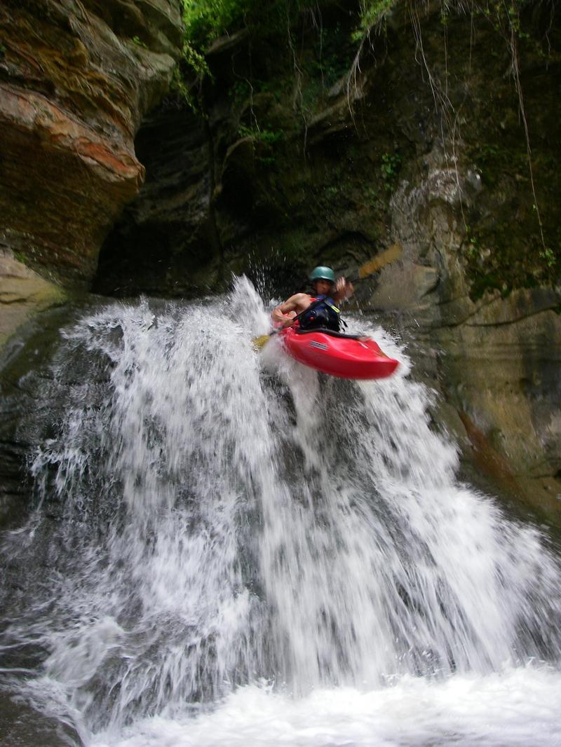
this is actually rock mill creek, the headwaters of the hocking river. flows from north of lancaster to rock mill lake. look for heavy rains from columbus to lancaster. visual from covered bridge. look at the lip, if there is water running over the left side creating an obvious boof lip, you are good to go. the ledges leading into the falls are scrapey at all but high flows( if they aren't the falls will be extra juicy). anymore i hike up the steep road from the pool at the bottom of the falls. i believe it is public property now( tread lightly, regardless). this is a real gem to have in ohio so don't mess up the access. you can do this shuttle with only one vehicle by parking at the covered bridge and hiking to the top.
the gorge is committing with only one hike out/ access via a steep billy goat trail on river right directly above the fall's last chance eddy(which has the only boulder sitting in it, river left, this boulder must have a good bit of water b/n it and river left for the run to go). a truly amazing place. i rock out a right stroke, late boof , tight off the left wall(the obvious boof lip). the hole can be meaty but usually pushes.
SA
Scott Abla
Jun 5, 2006
watch out for the rock on the left in the landing
MM
Matt Muir
Jun 5, 2006
For the full-sized version of this photo, click here.