Blanco
3. RM 12 to Five-Mile Dam (20 miles)

| Difficulty | II-III |
| Length | 20.6 mi |
| Avg Gradient | 10 fpm |
| Gauge | Blanco Rv Nr Kyle, Tx |
| Flow Rate as of 25 minutes | 1 cfsbelow recommended |
| Reach Info Last Updated | July 11, 2015 |
Refer to Texas Whitewater for more specific beta. Difficulty rating and recommended flow are taken from the book. Numerous low-water crossings exist along this stretch of river, and some are known to create sieves and/or dangerous hydraulics, so use caution.
The Blanco tends to flash more quickly than most rivers its size, and it can go from moderate to dangerous in less than two hours. Be sure to note if the river is on the way up or on the way down before beginning a run, and pay attention to the upstream gauges as well. Even though it can flash quickly, the Blanco will also hold its flow for a relatively long time, so the best times to paddle it are often in the days following a moderate flood.
Distances and gradient measured using GIS tools in 2015.
WARNING: Memorial Day 2015 Flood
In the early morning hours of Sun May 24, 2015, a historic (beyond 500-year) flood on the Blanco River caused the river to crest to 43 feet (8 feet beyond the previous record, set in 1929, and 28 feet above flood stage), destroying numerous homes and businesses and bridges (including Fischer Store Rd.), toppling numerous trees, and killing a handful of people. The flood was strong enough to scour the river bed down to bedrock, so it is very likely that all rapids along this stretch have changed in character. Current conditions and difficulty are unknown. Please submit a comment or a trip report if you have run the river since the flood occurred.

Texas Whitewater suggests this as an alternate put-in (with parking available along the nearby Flite Acres Road.) Exercise extreme caution around this crossing (and all other low-water crossings.)
Public park with lots of paved parking. There is a paved turnaround at river left above the dam that provides riverside parking for shuttle vehicles.
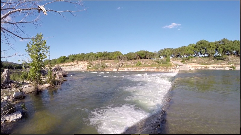
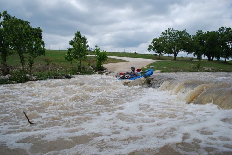
At levels where this stretch of river is worth running, Five-Mile Dam can create a dangerous hydraulic, and the downstream hole (the play spot) can become very sticky. Because of a portruding shelf at river right, avoiding the hole requires some maneuvering.
See separate description of the play spot here.
Jun 9, 2016
Cypress Creek in Wimberley is runnable when this is high. Tons of wave trains/ledges/ a few falls. My wife and I just got done spending the weekend kayaking Cypress Creek due to all the flooding and rains. It deserves its own page.
Jun 7, 2016
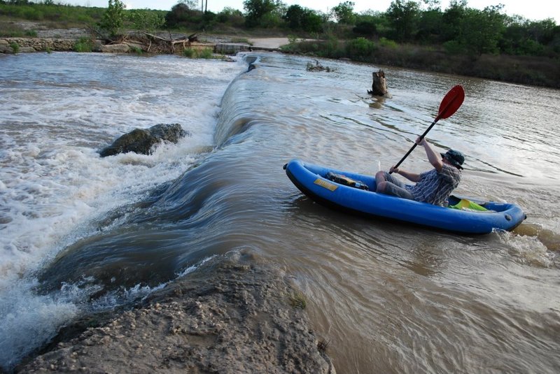
Flite Acers Rd; 3 good waves at 700 - 1200 cfs. Have to go over the road backwards to catch the first one.
May 14, 2012
05/12/12
CFS: ~500
Put In: CR 174 bridge @12:30PM; public parking on Flite Acres is very limited
Takeout: 5 Mile Dam @ 7:15 PM
Total Mileage: 17.7
What a rare opportunity it is to float this river. The Blanco rapids were bigger and more abundant than I expected for such a low water level. If this gauge is in the green, drop what you are doing and go!