Denton Creek
Just below Grapevine Dam (PnP)(Grapevine Wave)
| Difficulty | II+ |
| Length | 0.058 mi |
| Avg Gradient | 80 fpm |
| Gauge | Denton Ck Nr Grapevine, Tx |
| Flow Rate as of 1 hour | 47 cfsbelow recommended |
| Reach Info Last Updated | June 23, 2026 |
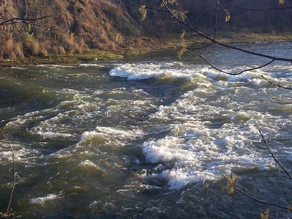
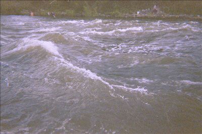
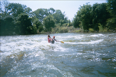
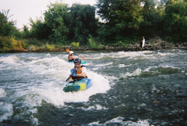
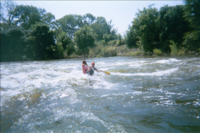
This is a great spot to bring beginners to work on rolls, ferries, eddy turns, and peel-outs.
The Grapevine gauge may give a hint as to the release level, but it will be affected by runoff as well. New beta suggests that the streambed has shifted above the play spot, sending more water to river right than before. A 700 cfs dam release (refer to the Army Corps of Engineers Fish Report >> TRINITY RIVER BASIN >> GRAPEVINE) is now the recommended minimum level.
Beta from paddlers says that the two gates described in the directions have 'Keep Out' signs on them, but one paddler contacted the Army Corps and learned of a Memorandum of Understanding between the Corps and American Whitewater that waives these restrictions for whitewater boaters.
Update 3/2018: A paddler has reported being turned away by security personnel despite mentioning the MOU. Upon contacting the Corps of Engineers, he learned that they are no longer aware of any MOU. The local paddling community is seeking information or assistance regarding regaining leg
...Sep 12, 2010
level was 1520 first 2 waves surfable
May 3, 2010
teague swalm shared:
want to suggest an update to the national river database --> texas --> denton creek.
directions are pretty good, but the two gates referenced both have 'get lost' signs on them.
i phoned the controlling authority, u.s. army corps of engineers,,, and learned of an m.o.u. (memorandum of understanding) between aw (i assume) and the corps.
as coming up w/ this beta took a little digging on my part (at the cost of a paddling day), i would suggest posting a note to this effect on the site.
not many places to paddle here, so i hate to see someone inadvertently dissuaded (is that a word?).
let the rivers flow,
swami
Mar 30, 2005
This is just about the perfect level 700cfs on the spillway gauge