Eagle
Phoenix to Eagle River Falls (2.3 miles)
| Difficulty | III-IV(V) |
| Length | 2.2 mi |
| Avg Gradient | 122 fpm |
| Gauge | Trap Rock River Near Lake Linden, Mi |
| Flow Rate as of 1 hour | 51 cfsbelow recommended |
| Reach Info Last Updated | March 1, 2022 |
Relative remoteness, and proximity to better known and more reliable runs (at least some of which have gages to know what flows are rather than reference gage as this one uses to hint possible runnability), keeps this run from being high on many people's priority list. However, this short run with an easy shuttle can easily be doubled-up with runs in the L'Anse area, especially the Falls River (another short, awesome run with an easy in-town shuttle).
This run has a nice combination of short ledges, slides, and a serious combination drop in the middle to get your attention.
Be aware that although the Highway 26 bridge at the end of the run is a public right-of-way, most would want to take out above this point and not run Eagle Falls (although it has been run). An alternate take-out has historically been used that involves walking out through the woods at locations well-upstream of Eagle Falls but this is private land. The landowner has requested that paddlers not trespass on his land without securing permission. As of 2019 he was open to allowing access to those who obtain written permission on a year-by-year basis.

USGS lists a sampling site citing drainage at this point as 21 square miles.
Oct 8, 2021
I've been running this all summer when the rains hit hard enough. Looking for more experienced paddlers to help me through the larger features of this river, I'm still a noob. I cleaned out some wood this summer. This is my backyard river so come and play on it with me!
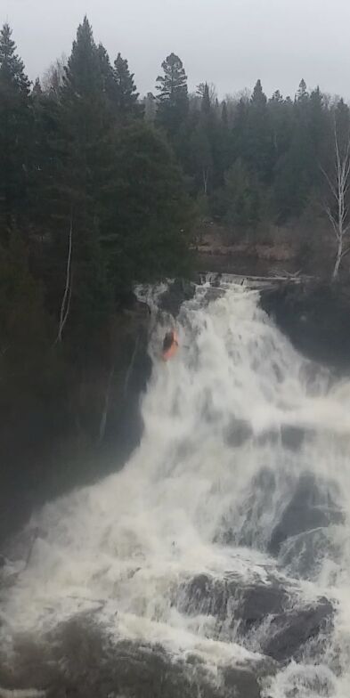
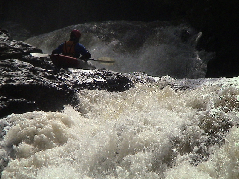
Apr 16, 2005
Boris Glick prepares to run the second pitch
of Hang 'em High.
Apr 16, 2005
Dave begins his run down Eagle River Falls
Dave's half way down the face of Eagle
River Falls...lookin' good so far...
Oh-oh...Dave! Look out for that rock!
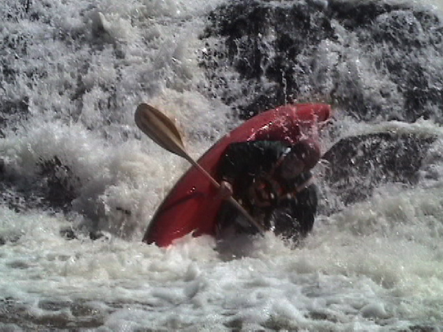
Jan 1, 1900
Caputi!
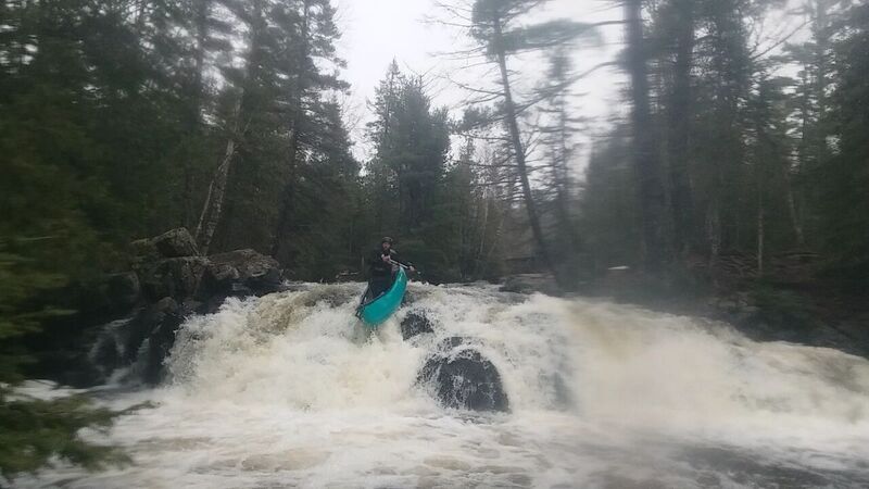
Jan 1, 1900
Fun!!!