Big Iron
White Pine to Silver City (5.6 miles)
| Difficulty | II-III |
| Length | 5.5 mi |
| Avg Gradient | 28 fpm |
| Gauge | Big Iron Approximation |
| Flow Rate as of 26 minutes | 30 cfsbelow recommended |
| Reach Info Last Updated | March 17, 2025 |
Quick Facts:
Location: White Pine to Silver City
Shuttle Length: 6.1 miles.
Character: Innumerous small ledge drops in a wide, fairly uniform-width channel.
Drainage area at put-in: approximately 97 square miles.
Put-in is approximately 760' elevation.
Take-out is approximately 600' elevation (Lake Superior, mean level).
Thus total elevation change is approximately 160'.
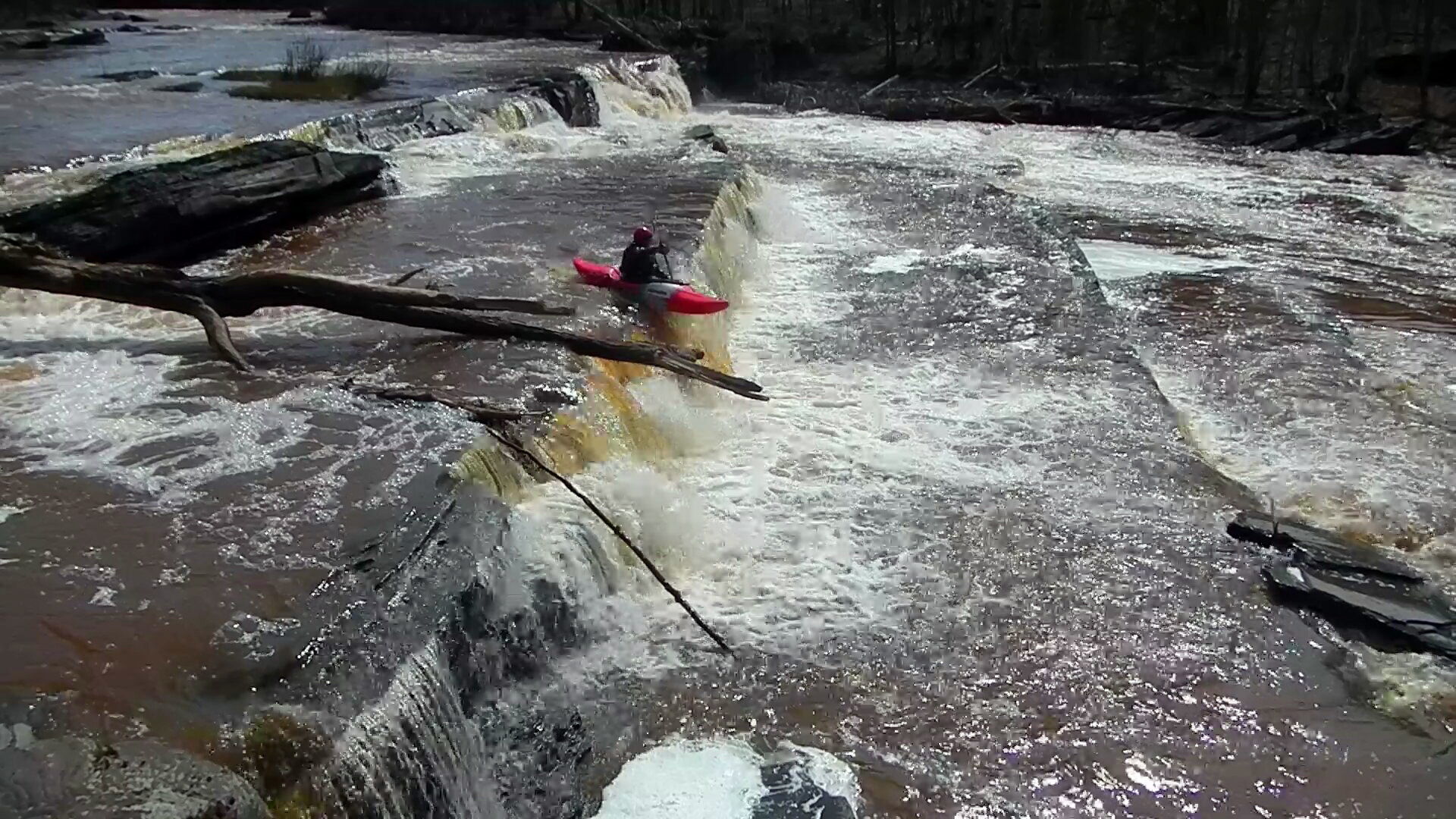
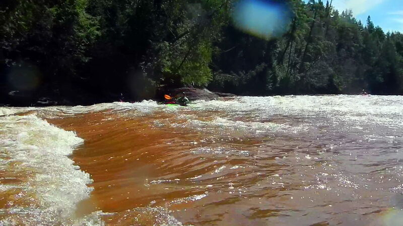
This reach consists of alternating sections of short bedrock ledges, rapids and moving water. Most of this bedrock breaks diagonally (rather than perpendicular) to the flow, making for some interesting running! One quite significantly bigger drop, 'Bonanza Falls', comes at 4.5 miles into the run and may push into class IV- at higher flows.
Good photos of the falls are available online at: coppercountry.com
The resolution on satellite views for this area is excellent. We highly recommended going to the 'Map' tab, clicking the put-in (white dot), then clicking 'Google maps' or 'Apple Maps'. You'll be taken to GoogleMaps, where you can click the 'Layers' icon to switch to 'Satellite' view and do a 'virtual walk' of this reach! (HINT: The river flows North from the put-in.)
Those seeking a longer run may wish to put-in about five miles upstream of White Pine (if the logging roads are passable for access).
The (rather smaller) Little Iron lies immediately to the West of this run, and may be a great 'companion-run' (if they are both at runnable levels) or the Big and Little Iron runs may be 'fall-back' runs for each other in the odd event that one is too high (or too low) and the other may be runnable.
There are also runs nearby on the
...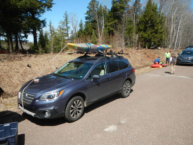
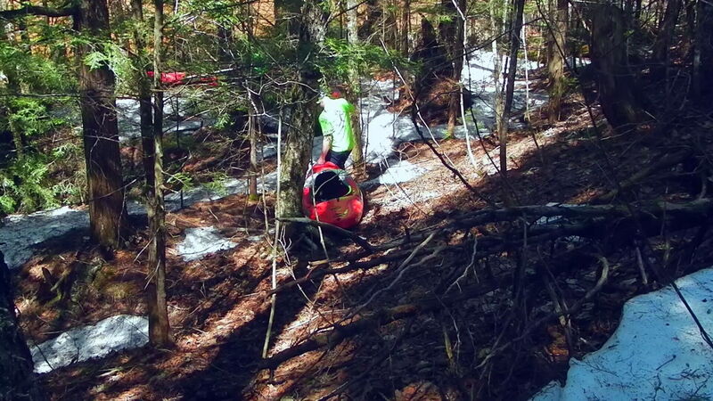
Put-in at an empty wooded lot between two houses at White Pine, then bushwack 100 yards to the river.
Do not let the near total absence of marked/named features deter you from exploring this run. While it is not nearly as challenging as many U.P. runs, with the right flows, this should be a great change of pace and a lot of fun in its own right.
USGS lists a sampling site at this location with drainage area of 98.1 square miles.
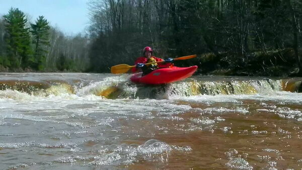
(NOTE: Photo is not meant to represent the gauge location, but rather just highlights some of the early action on the run.)
A broken bridge abutment (with graffiti on it) on river left makes an easy marker for when Bonanza Falls are next.
Bonanza Falls has been described as a '60-foot-wide falls consisting of two separate drops spaced about 200 yards apart. The upper falls drops about ten feet; the lower about three feet.'
It is easy to scout the Falls ahead if time from a road that goes down to the Falls on river right. A well-trodden path here also allows easy take-out (while running the river) to scout or portage the Falls.
After Bonanza Falls, do not relax your guard, as the ledges become taller and closer together, kicking the class/rating up half a notch!
Take-out in Silver City at the boat launch (river-right) at the mouth on Lake Superior. The take-out has good parking, easy access out of river, and a port-o-potty.
BTW, it is a local tradition (before you take-out) to paddle out into Lake Superior to do some rolls for 'good luck'.
