Little Carp (Porkies)
Greenstone Falls trail to Lake Superior (5.5 miles)

| Difficulty | III-IV |
| Length | 5.5 mi |
| Avg Gradient | 127 fpm |
| Gauge | Little Carp Approximation |
| Flow Rate as of 41 minutes | 1 cfsbelow recommended |
| Reach Info Last Updated | April 2, 2019 |
Quick Facts:
Location: Porcupine Mountain State Park
Shuttle Length: Hike. (See details below.)
Character: Big slides and a lot of wood.
Put-in elevation is approximately 1270'.
Take-out elevation is approximately 600' (mean Lake Superior elevation).
Thus total elevation change is approximately 670 '.
Information (lat, lng, elev, total drop, run length, shuttle length) adjusted and/or verified from best manual extrapolation of online data (via maps.google.com, distance measuring tool, and other resources). 2009.02.05
The resolution on Google Maps for this area is fairly decent. You may be interested in going to the 'Map' tab, clicking 'Satellite', clicking-and-dragging the put-in (to have it center-screen), zooming in to the maximum resolution available, and doing a 'virtual walk' of this reach!
Previously described (by a StreamTeam member who, with no disrespect intended, never actually finished the run) as a masochistic expedition, in a wooded up wilderness stream, requiring a long hike-in (on Greenstone Falls trail off South Boundary Road) and a 4.5 mile paddle-out on Lake Superior. Others who have done it consider it an excellent wilderness whitewater river, with a few 'opportunities to stretch' while carrying or pulling your boat around some (unrunnable) scenic hydrologic features.
This run can be split into two main sections with the first putin at Little Carp River Road. The Little Carp River encounters Overlooked Falls and Greenstone Falls, followed by about 2 miles of wooded-up river to the confluence with Webeno Creek. Thus, we recommend anyone wanting to catch these two falls should just do a 'park-and-huck' here, before heading to the lower section.
The second putin involves bushwhacking, carrying or dragging your boat 1/4 mile from South Boundary Road along the ridge adjacent to Webeno Creek to
...
Drainage area at Little Carp River Road is in the neighborhood of 10 square miles.

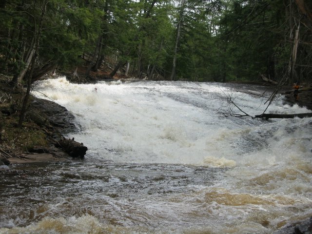
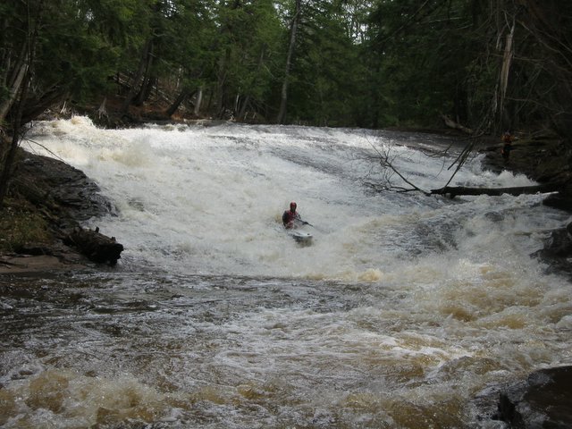
Overlooked falls is reportedly a pair of <5' drops in close succession. Greenstone is a single drop of ~5'.
A fine photo essay of Overlooked Falls (a bit upstream) and Greenstone Falls is available at: Porcupine U.P.
Another fine photo essay for this drop is available at: GoWaterfalling.
Reportedly less than a 5' drop.
A brief blurb and photo are available at: GoWaterfalling.
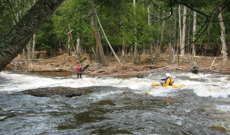
Just before reaching the mouth of the river at Lake Superior, you are treated to three drops in quick succession.
Apr 11, 2005
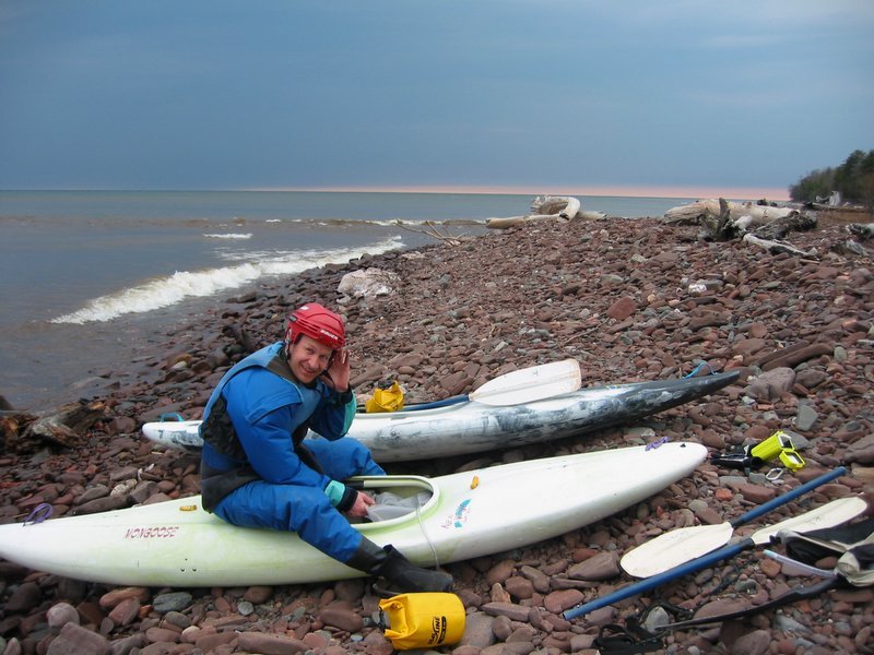
Time to pack up and go home.
Apr 9, 2005
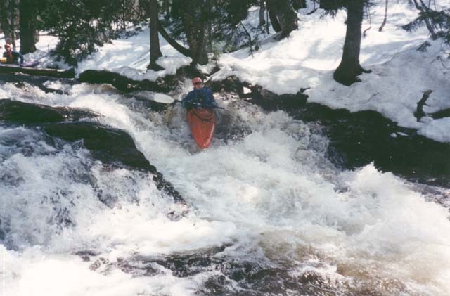
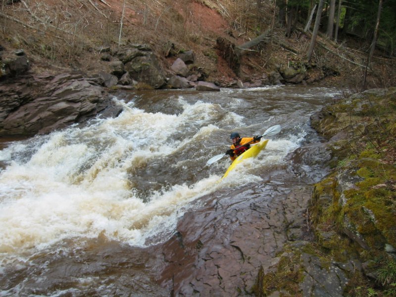
This is the beginning of the fun on the second half of the run.
Approaching Trapper's Falls, the pulse begins to quicken.
Moving down the drop, the boat velocity quickens.
Nearing the end, reaching maximum boat velocity and pulse rate.
May 7, 1997
Not much on this river other than this
drop. Most of the other rapids
involved insane portages through
log-choked channels.