Ontonagon, W.Br.
B) Victoria Falls dam to Victoria Dam Rd. (5.3 miles)

| Difficulty | III-IV |
| Length | 5.6 mi |
| Avg Gradient | 24 fpm |
| Gauge | Ontonagon River at Victoria Falls |
| Flow Rate as of 56 minutes | -696 cfsbelow recommended |
| Reach Info Last Updated | December 23, 2024 |
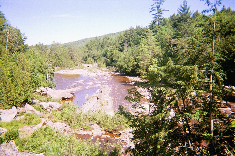
People who visit this location during elevated flows may think that Victoria Falls refers to the water cascading off the cliff just downstream of the dam. The historic falls by that name was inundated by the backwaters of the dam.
As is done many instances, a penstock (a pipe, with mnimal elevational change until the very end) allows the hydro company to take advantage of the additional drop in the riverbed to create additional 'head' for the hydro plant. The relatively shorter dam built upstream then has the same effect as a much taller (and more expensive to build and maintain) dam at the location of the hydro plant!
As a result of the above, the first 1.4 miles is a significantly dewatered reach which will flow only when there is excessive water (spring snowmelt or flooding rains). At best flows, this is class III-IV, with a lot of action packed into a short distance.
Boaters may either opt to carry back up along the penstock, or paddle 3.9 miles with light rapids to take out at the road.
NOTE: Early observations at low water report that there is metal debris in river -- large metal hoops from the old wooden penstock. I've heard rumors that some/much of that has been removed, but not certain if we can claim an 'all clear'.

Don't let the lack of detail on this run dissuade you from interest! The action is so intense and continuous (at least if you catch it at flows over 1000 cfs) that I have not bothered to parse out or name any individual features. We hope that folks who have run this more recently and regularly will name some features and provide them via trip reports and photos.
As you come in sight of the powerhouse (and it's outflow canal) the major bulk of the gradient is over. Your option is to either take-out and carry up alongside the penstock, or to continue downriver, paddling 3.9 miles of low gradient (but well-moving water) to get to the next road crossing.