Embarrass
Hayman Falls (0.5 mile)
| Difficulty | III |
| Length | 0.4 mi |
| Avg Gradient | 38 fpm |
| Gauge | Embarrass River Near Embarrass, Wi |
| Flow Rate as of 38 minutes | 101 cfsbelow recommended |
| Reach Info Last Updated | September 7, 2020 |
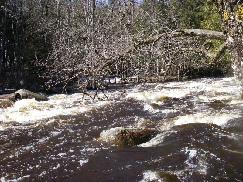
This is essentially one half-mile rapid (I.E., not a true falls as the name suggests), and is most often run as a companion piece to some of the other short runs in the area. After entering the park, drive to the end of the parking lot and carry up the hill. You may notice a sign reading 'Dam' on the far side of the river near the put-in. This is about the only remainder of the former hydroelectric dam that was at this location.
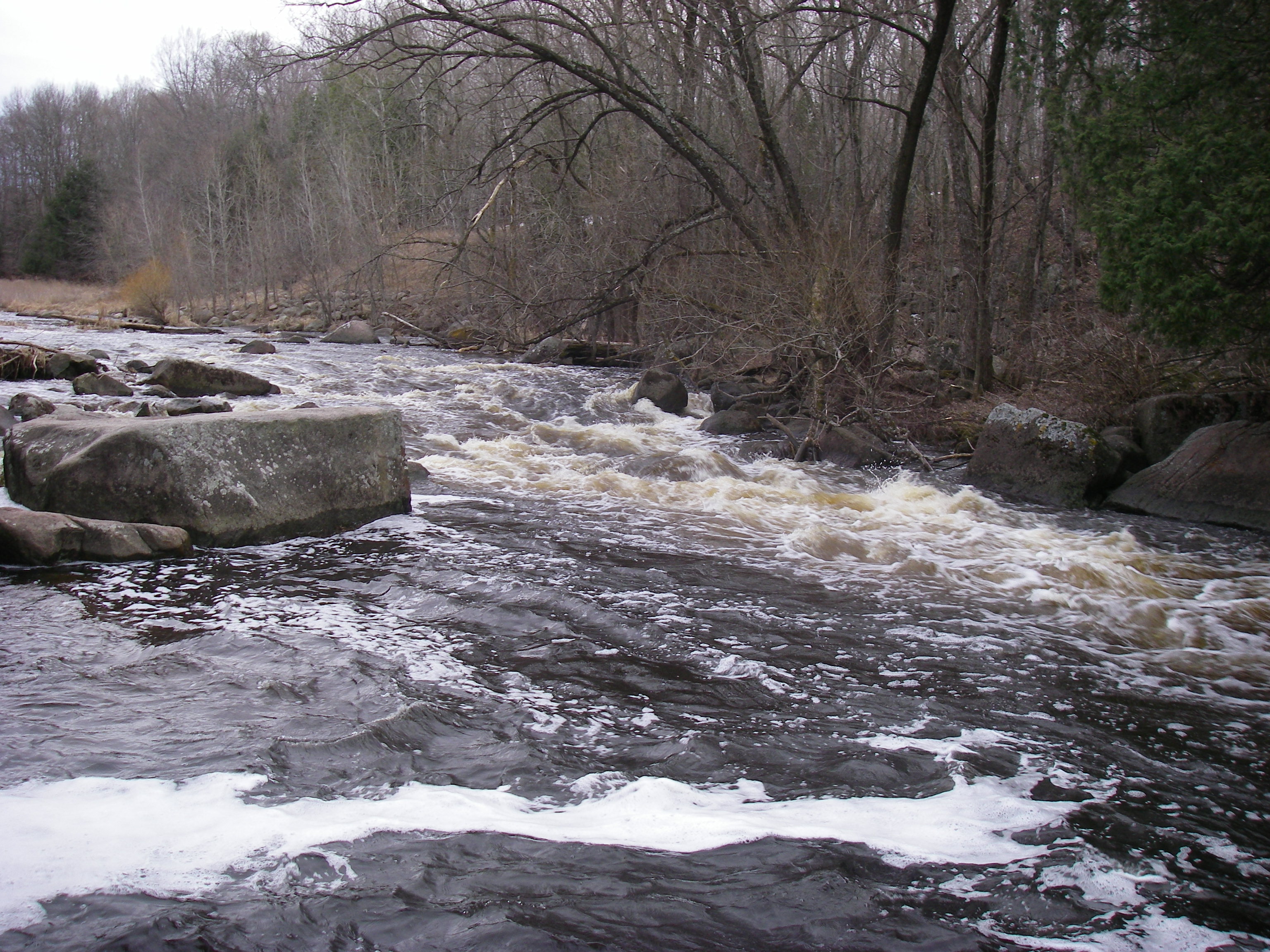
The rapids sequence starts with minor bedrock intrusions which form several tame surfing waves (one of which is usually wide enough to entertain three or four boaters at once). Just downstream the river drops off a sloping ledge of about 5' and slams into a large boulder near center stream. Normally this is run to the right but there is an eddy to the left at the bottom if you're up for the ferry across the face of the rock.
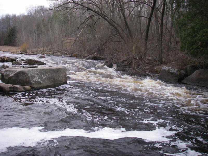
After a brief recovery zone, the river tilts downhill again through some boulders. The second set are nicely offset, making for an interesting variety of lines. At high flows, these boulders become pourovers that you'll probably want to avoid. Just downstream, the river bends to the right, with wood often collecting in the outside of the bend (a potential hazard to be aware of especially if someone swims). As the river approaches the bridge into the park, it eases back into the lazy mode it has along much of it's length. Take-out on the right upstream of the bridge and, if you're like us, you'll probably want to carry back up and do it again.
As this reach is fairly short, you may wish to combine it with one or more of these other reaches which are close by for a Shawano County double or triple header.
...While some maps will show a pond (and possibly a dam) upstream of our mapped put-in, the dam (and pond) were removed many years back.
From the parking area, an obvious path heads nearly due west through the woods to the river.

Downstream of the bridge/takeout, it is less than a half-mile to the confluence with the N.Br.Embarrass, the last of the three major tributaries of the Embarrass River.
Take-out could be at any spot after the gradient has been spent, to then carry through a bit of wooded area, to grassy area, and back to your vehicle(s). However, it is generally just as convenient to float down to the bridge (that you drove across as you entered the park) to get out there and carry up the parkway road.
Since this is a short reach, you may wish to carry again to water's edge for another lap. However, since this is likely done in combination with runs on one or more of the branches of the Embarrass, you may be content with just one run down this.