Paint
MI DNR campground to Horserace Rapids (1.5 miles)
| Difficulty | II(III) |
| Length | 1.6 mi |
| Avg Gradient | 27 fpm |
| Gauge | Paint River Near Alpha, Mi |
| Flow Rate as of 40 minutes | 296 cfsmedium runnable |
| Reach Info Last Updated | April 2, 2019 |
While put-in is possible at Little Bull Dam, Wisconsin Electric Recreation Area #22 (as formerly listed in the heading for this reach), doing so requires putting in on (and ferrying across) a diversion canal, then portaging the berm between it and the natural river channel. Additionally, using this put-in makes a rather long shuttle. While some maps show a Little Bull Rapids in this area, it is inundated by the impoundment. The 1.5 miles downstream of the dam is quietwater, broken only by a few riffles.
The recommended put-in (which eliminates much of the quietwater paddle and considerably shortens the shuttle) is located off of a dirt 'double-track' on the West side of the road (airport side) just before the paved road turns to gravel. Follow this road past a grassy area where the airport runway comes into view on the left. Just after this point, WE Energies has constructed a primitive campground at the recommended (short) put-in for this reach. In addition to the campsite, there is a vault toilet and parking area. MI DNR will be mowing the path to the river. There have been signs with a tent icon installed indicating the location and also assisting boaters in locating the put-in.
The 1/2 mile of flatwater is very pretty, and enjoyable. The heavily wooded shores and the lack of any development makes the river seem very wild and remote. Not far past a large island on river right, the river makes a bend to the right and the rapids begin.
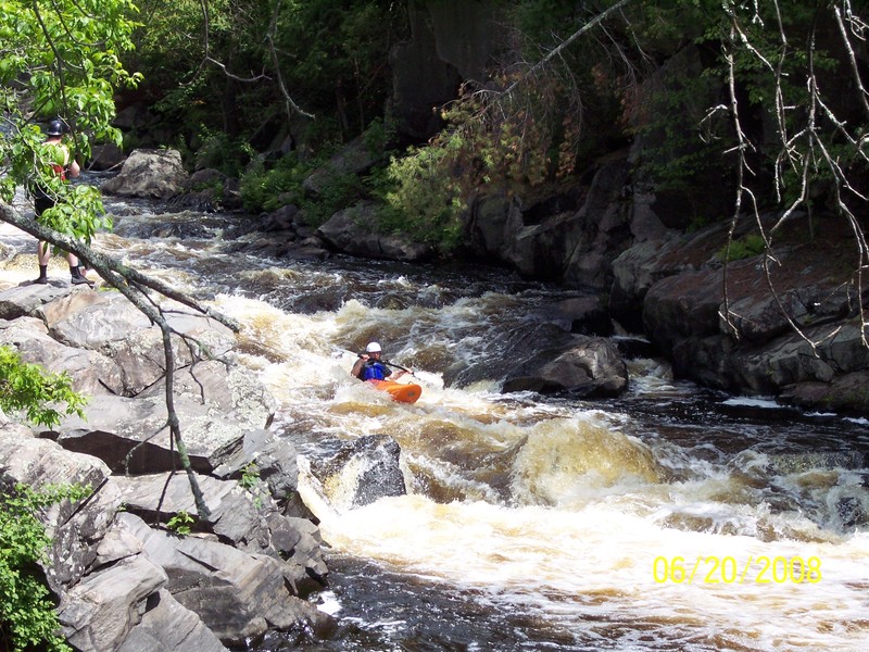
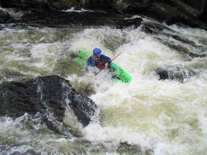
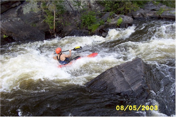
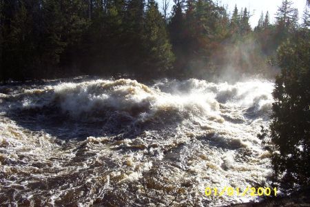
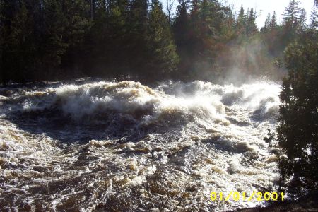
The rapids are in close proximity to one another and, at high flows, will merge together into one long rapid with big waves. The first drop is a fairly straightforward class II boulderbed drop on a turn to the left. At 250 cfs a rock splits the main flow. You can either slide up onto the rock and slide down its left side, or you can go right of it. To the right is the smoother (more usual) run. This is followed shortly by a similar drop that ends in a fast flume turning back to the righ
...Sep 14, 2025
Just wanted to provide a more recent update of the run and the rivers condition. Excellent run with a mix of Class II and III rapids. This may vary depending on the flow. At lower flows there are areas that could be quite shallow and possibly bottoming out depending on the path you choose to take. The run is short and sweet. As mentioned in previous descriptions the final drop features 2 rocks that sit side by side. If you do not shoot the gap between them it is very easy to high side and pin the raft onto the 'river right' rock. Avoiding the gap by staying to the left may be possible but caution should be used as this will push you very close to the wall and some overhangs. This area can be scouted by taking the short hike down to the rapids from horse race rapids parking.
Apr 13, 2012
Just a FWIW regarding the discussion below (about pin potential in the final drop/sequence on this run) . . . obviously the concerns about pinning here will be very flow-dependent. Unfortunately, we do not have gauge/flow records for the day that pin occurred (it was before the gauge datum). While we can talk about 'normal, scheduled flow' for various date ranges (as specified on the 'Flows' tab), we must recognizze that flows can vary significantly from those scheduled flows for a variety of reasons. It is likely that this pin potential exists for almost all 'normal, scheduled flows'. At the lower releases, it may be more easily avoided (as well as more easily escaped/extracted). At higher flows, it almost certainly becomes a non-issue, as it will be well-covered.