| Difficulty | II-IV |
| Length | 7.3 mi |
| Avg Gradient | 34 fpm |
| Gauge | Potato@hwy.169 |
| Flow Rate as of 50 minutes | 14 cfsbelow recommended |
| Reach Info Last Updated | May 18, 2022 |
River Description
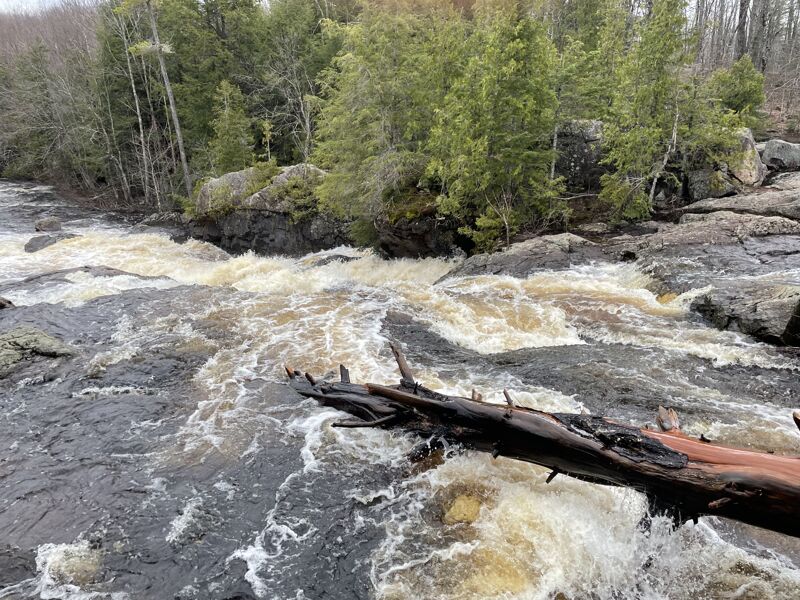
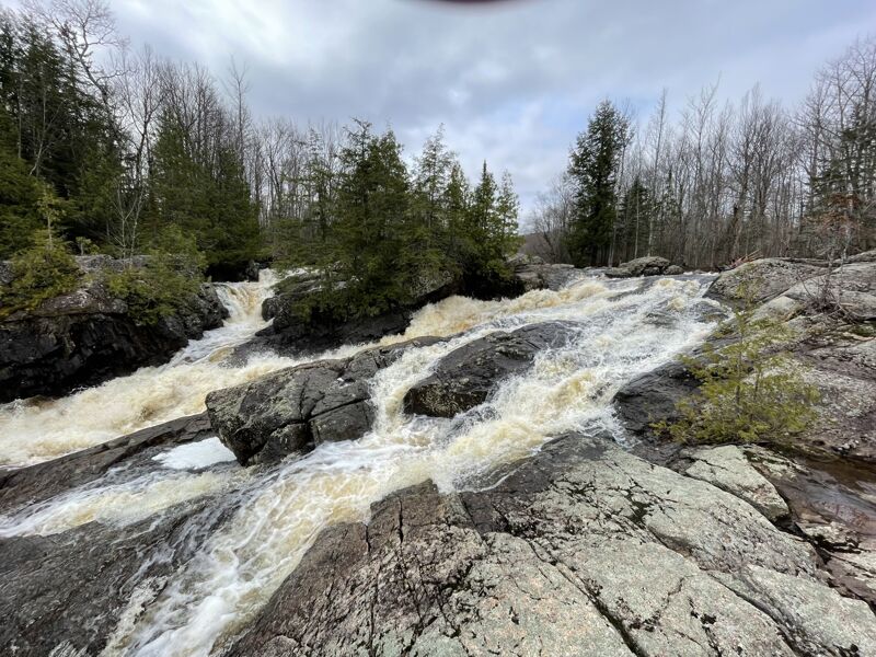
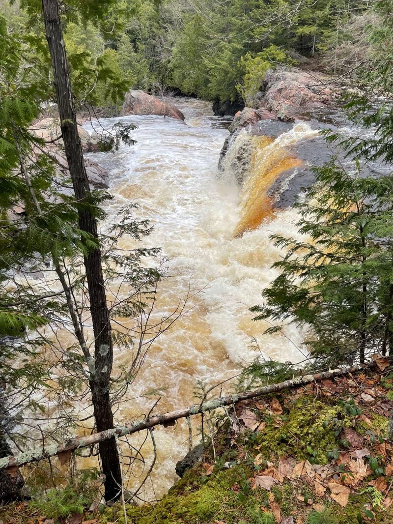
Higher grade rapids are in first 1.5 miles from Foster Falls, most of which can be done as an extension of the prior reach and then exit the river.
The following video show runs of Foster Falls: https://youtu.be/ZsB-zJ_1nAc
River Features
Put In
Access PointDistance: 0 mi
USGS sampling site
OtherDistance: 0 mi

USGS lists a sampling site at our listed put-in for this section, citing drainage area at this point as 65.1 square miles. USGS gauge at our listed take-out lists drainage area of 91.46 square miles. Using that ratio, flow at put-in might be about 7/10ths of the gauge reading.
Take Out
Access PointDistance: 7.5 mi
USGS gauge at our listed take-out lists drainage area of 91.46 square miles, and was activated on 2024.06.20, so we don't have much history to work with. FWIW, on July 5th, the gauge hit a max (for the part of the year it existed) of 292 cfs.