St. Croix
B) Riverside Landing to St. Croix Falls (up to 77 miles)
| Difficulty | I-II |
| Length | 77 mi |
| Avg Gradient | n/a |
| Gauge | St. Croix River Near Danbury, Wi |
| Flow Rate as of 35 minutes | 721 cfsbelow recommended |
| Reach Info Last Updated | December 16, 2020 |
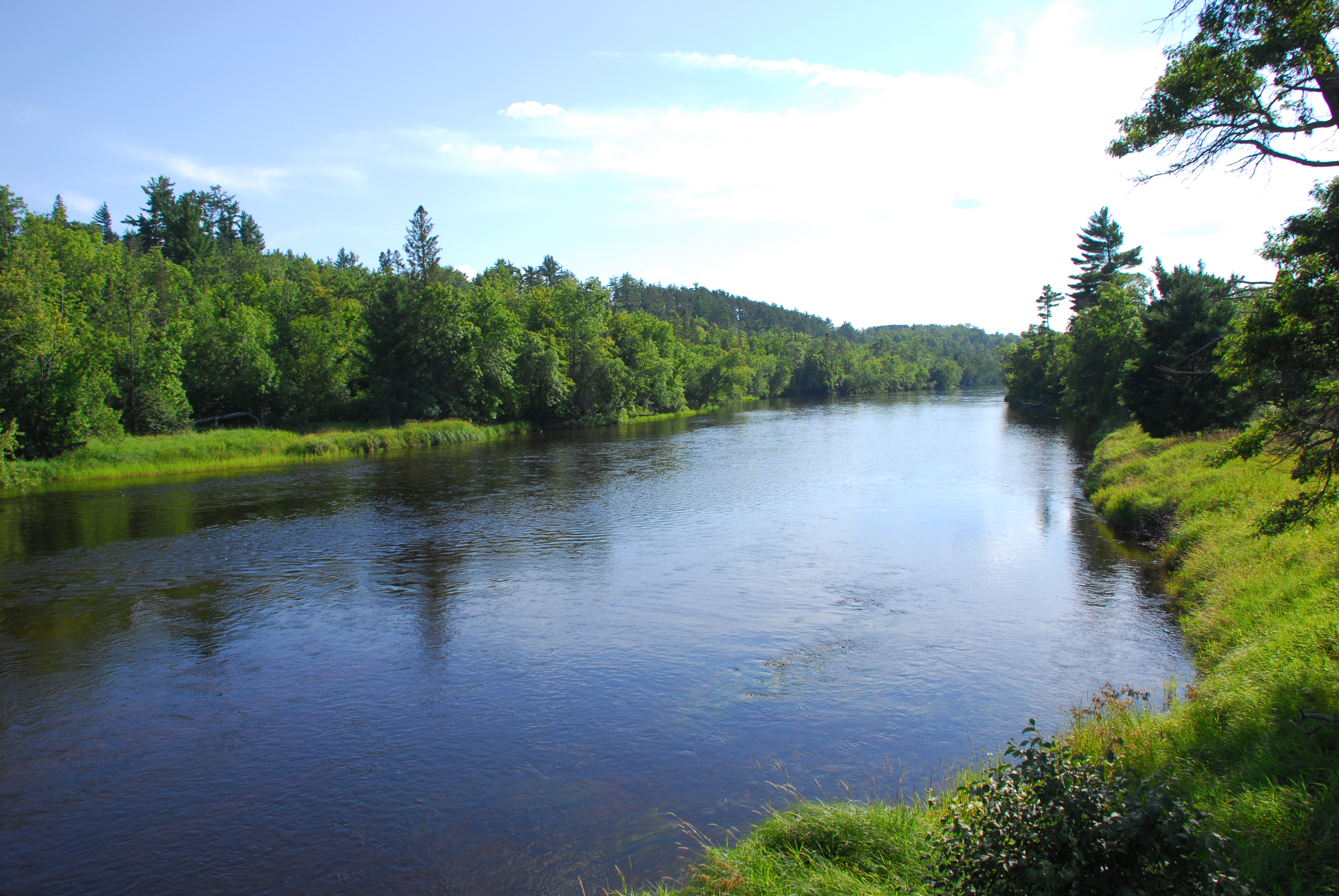
The St. Croix was designated as one of the original 8 Wild and Scenic Rivers in 1968 as part of the St. Croix Wild and Scenic River. Formal access points are provided every few miles at bridge crossings and parks along the river, some of which provide overnight camping. Despite the number of access points that make it easy to customize a trip to fit your skills and time avaialable, the river still retains its wild character. Along the river designated camp sites (small 8 person sites and large 16 person sites) serve river runners with fire rings and pit toilets. The available campsites can get full on summer weekends.
Most use open canoes for trips on the river and while much of the run is flatwater there are some easy class II rapids that require manuvering particularly in the section from Nelsons Landing to Soderbeck Landing. The river is administered by the National Park Service which provides additional information on rules and regulations along with detailed maps and advice on how to enjoy your trip:
St. Croix National Scenic Riverway
Sections of the river between Riverside Landing and St. Croix Falls include the following:
1) Riverside to Thayers Landing (13.4 miles, class I)
Most of this section is scenic flatwater with a couple of campsites.
Ginger Island signals the start of State Line Rapids, an easy rapid down the right channel around the island. From this point until the mouth of the river, the St. Croix River forms the Minnesota/Wisconsin border.
Paddlers are advised to stay to the river left side of the channel at the ledge just upstream of the MN-48/WI-77 bridge just above Thayers Landing.
2) Thayers Landing to Norway Point (14.3 miles, class I)
This section of river is flatwater that passes through the St. Croix State Park and Governor Knowles State Forest with a few river campsites as well as opportunities to camp in a d
...
Main rapids are down the right side of Ginger Island and are class I riffles.
Canoe access on river right at the end of Old Ferry Road.
Access with ramp and toilet on downstream river left side of the MI-48/WI-77 bridge.
Access in St. Croix State Park on river right with camping, picnic area, water, toilets, and canoe access.
Fee site in St. Croix State Park on river right with developed campground, picnic area, toilet, water, visitor information, and canoe access.
Canoe access on river right with toilets, picnic area, and drinking water.
Boat ramp on river left with toilet, camping, and picnic area.
Boat ramp on river left with picnic area, camping, and toilet.
A short easy class I rapid before the river splits into two channels.
Canoe access on river right at the head of Kettle River Slough with camping, toilets, and drinking water.
An easy rapid on the river left channel.
Rapid on the Kettle River Slough Channel.
Rapid on the Kettle River Slough Channel.
Easy rapid that begins upstream of where the Kettle River Slough and St. Croix main channel join and continues on downstream of where they come together.
Boat ramp on river left with toilet and picnic area.
Boat ramp on river right with picnic area, camping, and toilet.
Access to the Sandrock Cliffs trail on river left with camping, toilet, and picnic area.
Boat ramp on the river left upstream side of the bridge with toilet and access to Sandrock Cliffs Trail on the upstream river left side of the bridge. DNR St. Croix Campground provides a developed campground on the downstream river left side of the bridge.
Boat ramp on river right with toilet.
Unpaved ramp on river right with camping.
Boat ramp on river left with toilet, camping, and picnic area.
River left canoe access with toilet and Sunrise Landing Campground immediately upstream of the access point.
Boat ramp on river right with toilet and drinking water.
Boat ramp on river left with toilet and picnic area. This is the boundary of the Scenic and Recreational sections of the river.
Boat ramp on river right with picnic area, water, visitor information, campground, and toilet at Wild River State Park.
Boat ramp on river left with toilet, water, and picnic area. St. Croix River Visitor Center on river left less than a mile downstream.
River right boat ramp with picnic area, water, and toilet.