Big Rib
Rib Dells: Hwy.64 to Greiner Rd (2.5 miles)
| Difficulty | II |
| Length | 2.5 mi |
| Avg Gradient | 22 fpm |
| Gauge | Prairie River Near Merrill, Wi |
| Flow Rate as of 36 minutes | 105 cfsbelow recommended |
| Reach Info Last Updated | June 11, 2019 |
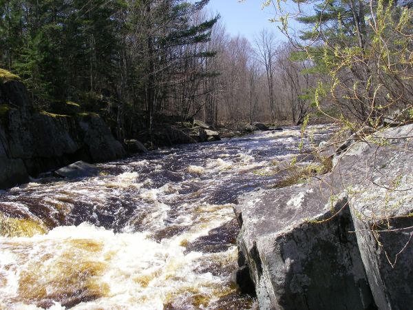
A half-mile, scenic, entertaining dells section is the highlight of this reach.
While there is a 'Rib Falls' some 15-20 miles downstream, the majority of the intervening river is flatwater. At Rib Falls, the river drops abruptly about 4-5' over a scenic rock outcropping. There is rock in the landing zone, so it is generally of little boating interest to anyone concerned about their boat and body! (The bridge immediately downstream is the site of the gauge used for this reach.) Downstream, the remainder of the river returns to a peaceful float through Wisconsin's heartland.

Drainage area at our listed put-in is approximately 131 sq.mi. (as calculated via USGS StreamStats Beta software).
After a sharp bend, you'll see rocky outcroppings of the dells, and the gradient (and action) will peak.
This video shows a run of the dells at a reported 1240 cfs: https://youtu.be/osG6xtDpomk
The steepest part of this run (the dells proper) ends about here. That is not to say there are no rapids downstream, but only that you are (by and large) out of the rocky dells at this point.
Mar 17, 2016
great level
Apr 24, 2014
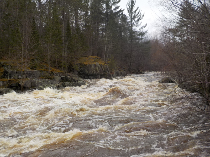
Ran this yesterday at 2490 cfs and falling. Lots of big waves and a rapid that was almost a quarter-mile long. Everything is boat scoutable but look out for trees. Run the dells center left. A lot of fun and the best part is you can likely run it with even more water than this. I would highly recommend it! Additionally the Google map has the take out road named incorrectly. The take out is Silver Fox road. The shuttle is Hwy. 64 to Greiner Rd (NOT Grinder Rd. There is NO Grinder Rd in the area) to Silver Fox. Take Silver Fox until you get as close to the river as possible. The roads are logging roads may not be great after rain or in the spring.
Apr 23, 2009
Ran this river in flood about eight years ago and it was awesome. Huge standing waves develop throughout the run and looks nothing like its usual self. I highly recommend doing the triple decker and run this, the Prairie, and Pine Creek all together in the same day if you are boating in the Wausau area. They have to be high flows for the difficulty and excitement to increase but I recall Pine Creek being quite beautiful in a mini canyon.
May 6, 2008
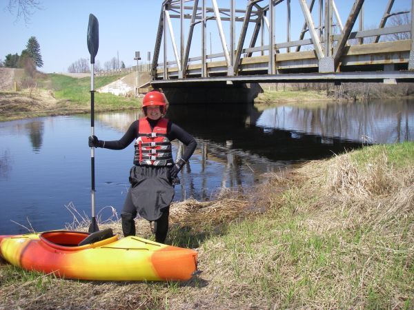
See other photo of put-in visual gauge for level.The dells was at a good level along with many of the other rivers based off the Prairie Gauge.