Cascade
B) FR157/Cascade River Road to CR45/Pike Lake Road (3.5 miles)

| Difficulty | II(IV) |
| Length | 3.5 mi |
| Avg Gradient | 63 fpm |
| Reach Info Last Updated | April 2, 2019 |
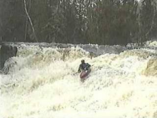
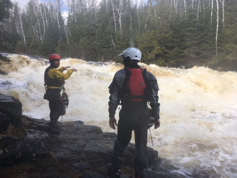
This reach consists of fairly continuous class II (+/-) boogie water. The main exception comes where a fair size island splits the flow. The left side has at least one good line, but is pretty meaty, and leaves little margin for error as the outflow heads quickly toward the lower falls. The right side begins with a short ledge (and potentially grabby hole, easily skirted tight left), then a short pool before a wide, uniform slide (with more water tight left by the island) into another pool. From here, one has plenty of room to line up for a good line down the lower falls. Just right of center, a tongue of water (and grunge-down-rock) makes an easy line into the pool at the base. (Other more gutsy routes may be possible.) Below, the river continues its continuous class II nature the rest of the way to the take-out at CR45.
(Description based on run at +2' on the Hwy.61 'hip' gauge.)

An island splits the flow. River-left is more convoluted (multiple options of route, but none really simple or welcoming when I was there). River-right has much cleaner lines and allows good set-up for the lower falls.
At the bottom end of the island, flows converge and jump down the lower part of this falls.

A USGS site (apparently for random 'Field Measurements' and peak flows) lists drainage at this location as 87.6 square miles. (Interestingly, its description says 'AT FOREST RD. 45', though coordinates from two different listings put it here, at Cascade River Road/157.)