Halls (Stockwell) Creek
Trow Lake Dam (Merrillan) to Black River confluence (11.5 or 6.3 miles)
March 27, 2019
| Reporter | Andrew Meyer |
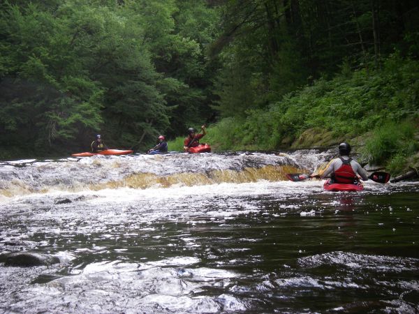
I think the overall description posted above is accurate for this creek when it is low, but becomes less accurate as the water gets higher. The more water is in it, the more playspots there are. There is a flat rock upstream of the takeout at County Hwy E. If it is visible, there won't be much play. If the water completely covers it, there will plenty of play. Also, I would discourage people from using the listed put-in and take-out listed here unless they want a longer, scenic but mostly flat run. Putting in at the utility right-of-way at the end of Camp Bradfield road and taking out at County Hwy E cuts out almost all of the flatwater and leaves most of the gradient and scenery.