Halls (Stockwell) Creek
Trow Lake Dam (Merrillan) to Black River confluence (11.5 or 6.3 miles)
| Difficulty | I-II |
| Length | 11.1 mi |
| Avg Gradient | 10 fpm |
| Gauge | Robinson/morrison/halls(stockwell) Approximation |
| Flow Rate as of 48 minutes | 12 cfsbelow recommended |
| Reach Info Last Updated | July 9, 2020 |
This is an intimate midwest creek/canyon, sometimes paddled as a companion run to the Black at Hatfield. It is a generally scenic run with a few minor rapids, and makes a fine novice open boat run.
A commonly paddled shorter section (6.3 miles, 13'/mile avg gradient) begins at the Garage Rd bridge, 2.8 miles south of Merrillan off Hwy 12. Either choice of put-in generally goes to the listed take-out at 'Halls Creek Landing' on the Black River.
Groups often look at a double or triple (combining it with runs on Morrison Creek and/or Robinson Creek) since these three streams are quite similar in location (Black River Falls area) and drainage areas (80-90 square miles).

Our listed put-in at the base of Trow Lake Dam is right at the 880' contour line on Topo Maps. At mile 9.94 you cross the 780' contour line, making an average gradient of ~10 FPM.
Cut off 3.9 miles (of mostly flatwater) by putting in at this bridge.
Drainage area at this location is 80.7 square miles (as calculated by USGS Stream Stats V.4.3.11).
Relative to the USGS gauge at Neillsville, flows on this creek *could* be 1/9th to 1/10th of flow on that gauge.
(Drainage area ratio is actually 0.1077.)
We have built and are displaying a 'Virtual Gauge' based upon a ratio using the average of the three similar-sized Black River Falls Area creeks (Robinson, Morrison, and Halls/Stockwell Creeks) versus the drainage area at the Neillsville gauge on the Black River. Obviously correlation is not assured, as that gauge is likely to lag both on the rise and fall, as well as not being able to reflect when different parts of the watersheds get differing rainfall amounts.
Those looking for the (arguably) best of the whitewater and shortest trip (~3.4 miles) may wish to just access the river from here, and take out at CTH.E.
Folks looking to shorten the trip (focusing on the best whitewater) may use this alternate take-out.
Otherwise continue downriver, to take out at the landing at the confluence.
Apr 22, 2023
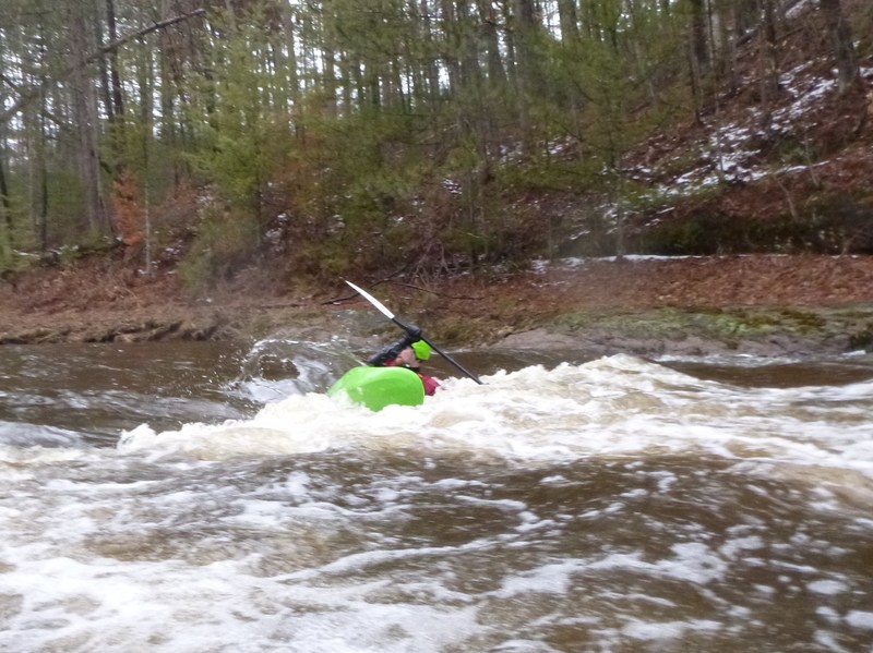
Section from Garage road down is surprisingly sceenic and has nice sandstone boulder surf spots throughoot, some of which are very good. Felt a bit easier than Morrison creek which I also ran on the same day. A big thanks to whoever has been clearing the trees out of this beautiful canyon. Probably never gets to high to kayak.
Mar 27, 2019
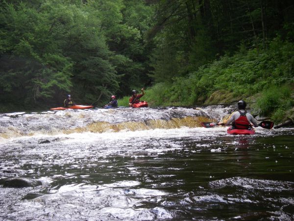
I think the overall description posted above is accurate for this creek when it is low, but becomes less accurate as the water gets higher. The more water is in it, the more playspots there are. There is a flat rock upstream of the takeout at County Hwy E. If it is visible, there won't be much play. If the water completely covers it, there will plenty of play. Also, I would discourage people from using the listed put-in and take-out listed here unless they want a longer, scenic but mostly flat run. Putting in at the utility right-of-way at the end of Camp Bradfield road and taking out at County Hwy E cuts out almost all of the flatwater and leaves most of the gradient and scenery.